Bolsover Earthworks – the surviving medieval ‘ditch and bank’ earthworks or entrenchments are believed to date from about the 13th century but there is debate over the dates of these earthworks and estimates range from pre-Norman to the Civil War. Hart in 1984 noted the similarities that lie between these earthworks and those at Peveril Castle and presented an argument that the Bolsover earthworks were also of 12th century date.
Ancient Monuments
Bolsover Earthworks is a scheduled monument as Medieval town defences, 183m south east of church of St Mary and St Lawrence, and 335m north east of Bolsover Castle.
Registered with following details –
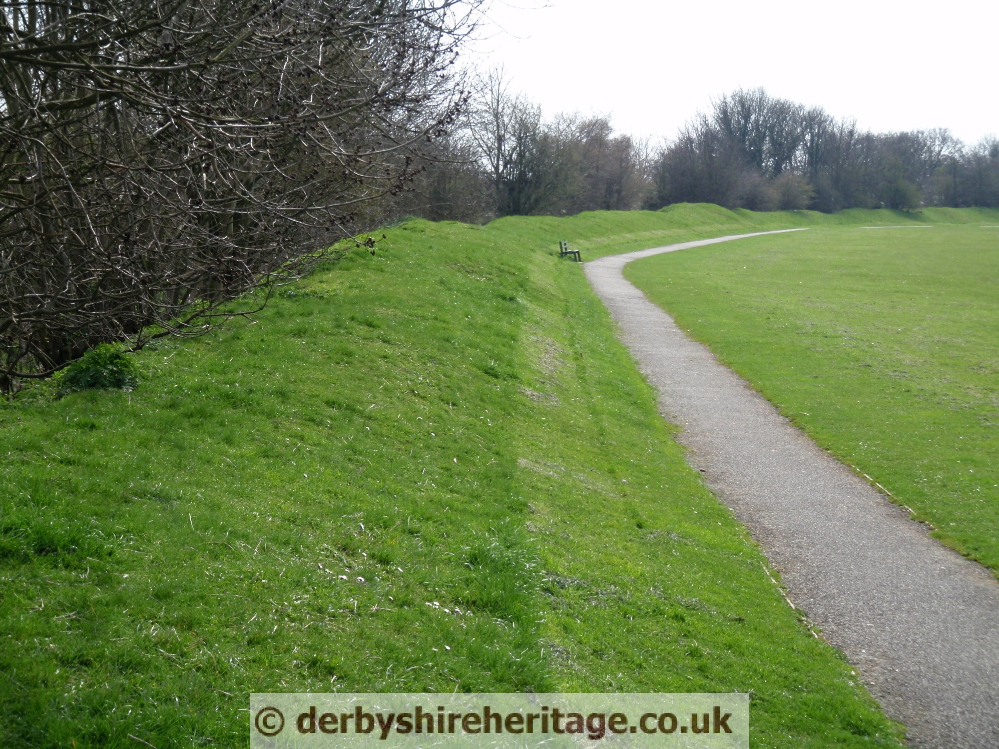
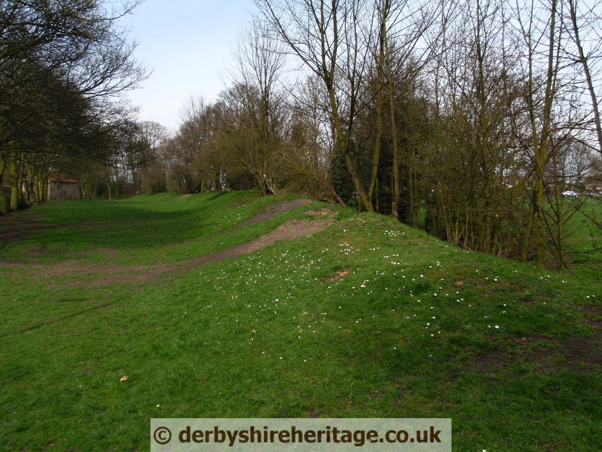
This monument, which falls into two areas, includes the earthwork and buried remains of the medieval town defences of Bolsover situated on the north and east of the historic town. The earthworks represent the bank and ditch of the rampart which is approximately 8m in width at the base and varying between 3m and 2m in height. The ‘V’ shaped ditch is visible as an earthwork and varies between 6m and 7m in width and 2m to 3m in depth.
Documentary sources show that the historic town of Bolsover was in existence by 1086. It was a planned, fortified town and followed the establishment of the castle in the 11th century. A market charter of 1225 to 1226 confirmed the grid of streets, lanes and tenement boundaries. The town extended to the north from the original core.
The modern metalled roads, tracks and paths that cross the monument are excluded from the scheduling, however, the ground beneath them are included.