Packhorse bridges were built so that pack horses and their loads could safely cross streams and rivers. Goods were strapped onto the backs of horses and ponies in panniers slung on either side from wooden pack frames. Packhorses were able to carry up to about 400lb (180kg) each.
Various breeds of horse were used. One favourite was a sturdy animal derived from a German hunter called a Jaeger; another was the Galloway from south-west Scotland.
Packhorsemen were given the name “jaggers”; the name deriving either from “jag”, meaning “a load” in old English, or from the breed of horse.
Jaggers often did the packhorse work as a sideline to earn extra money, seasonally or when times were tough. Many jaggers were farmers who depended on this contribution to their income.
Due to the weight of goods carried and rough terrain, progress was very slow with packhorse trains travelling as little as 15 to 20 miles per day depending if it was hilly or flat. For example a journey of about 37 miles from Manchester to Sheffield would probably take two days with an overnight stop in Edale which was roughly half way. The Nag’s Head at Edale was built in 1577 and would have been a typical stopping place. It was also the village blacksmith.
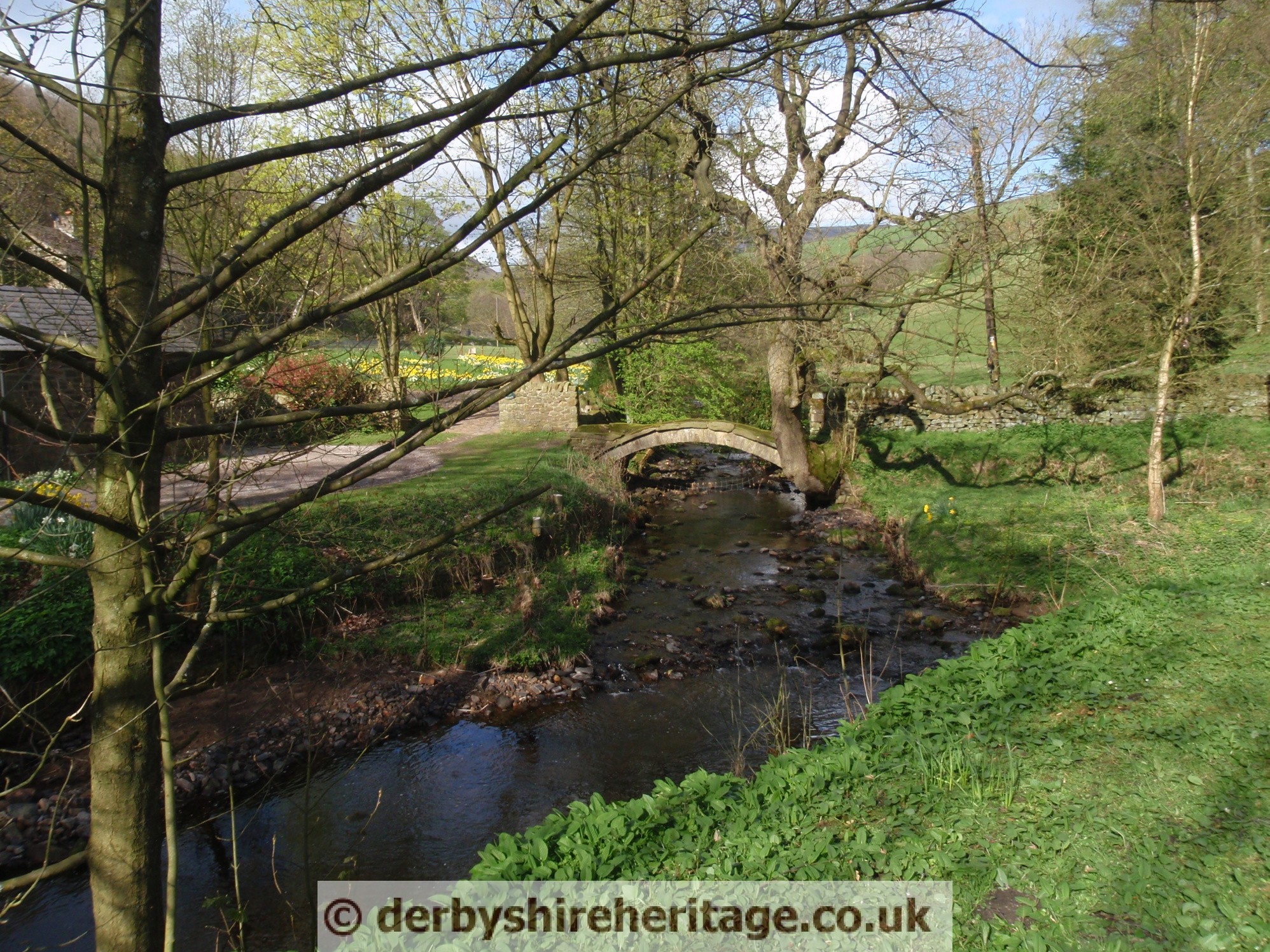
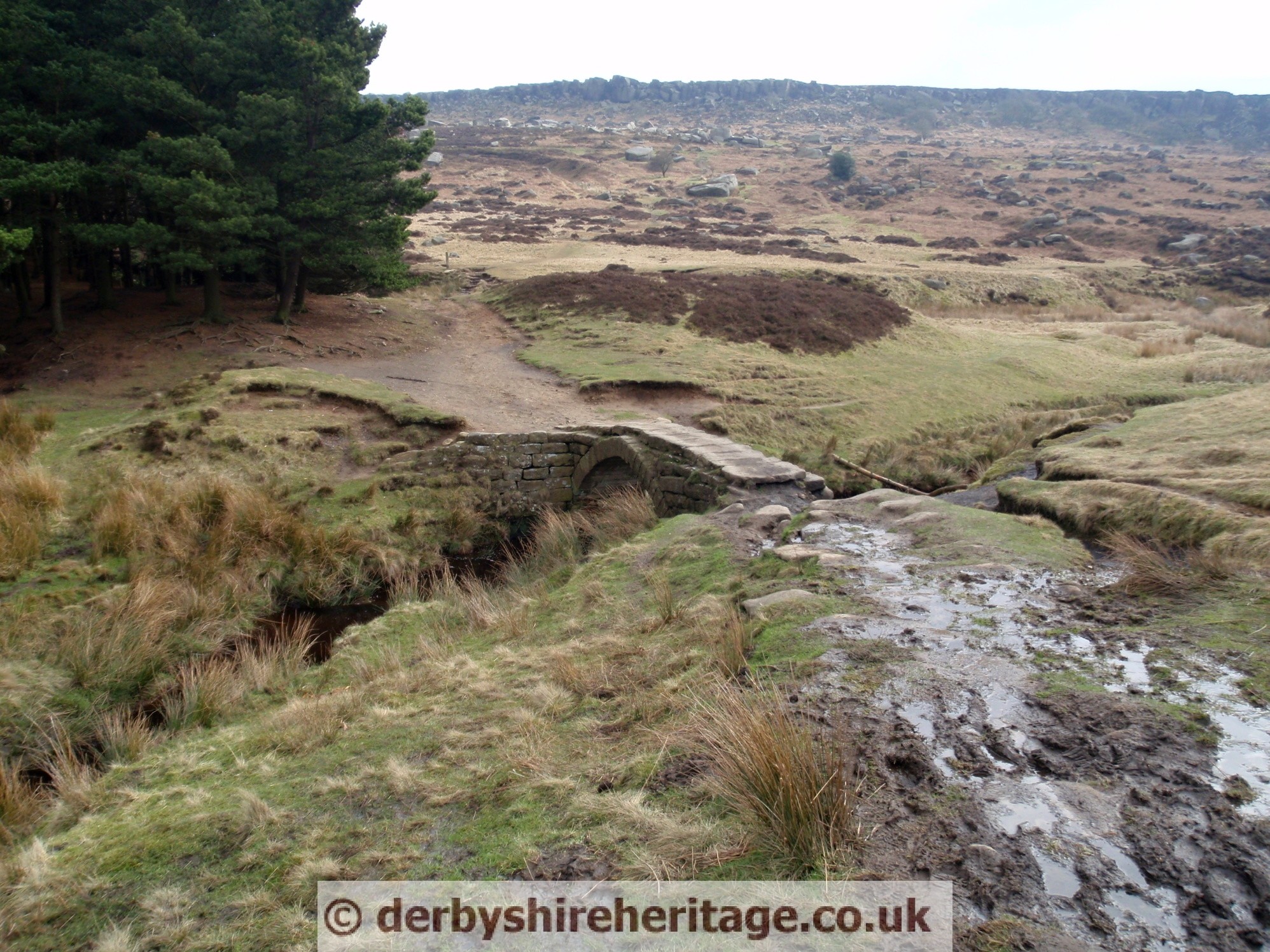
In general packhorse routes narrow at just one horse wide and in places overlapped with drovers’ roads which needed to be wider to accommodate herds of cattle. The narrowness of Packhorse bridges reflect this.
Many packhorse routes survive particularly in the Pennines.
The peak period for pack horses was from 1650 to 1800 when all a wide variety of goods would be carried such as corn, coal, charcoal, wool, salt, lead and iron ore.
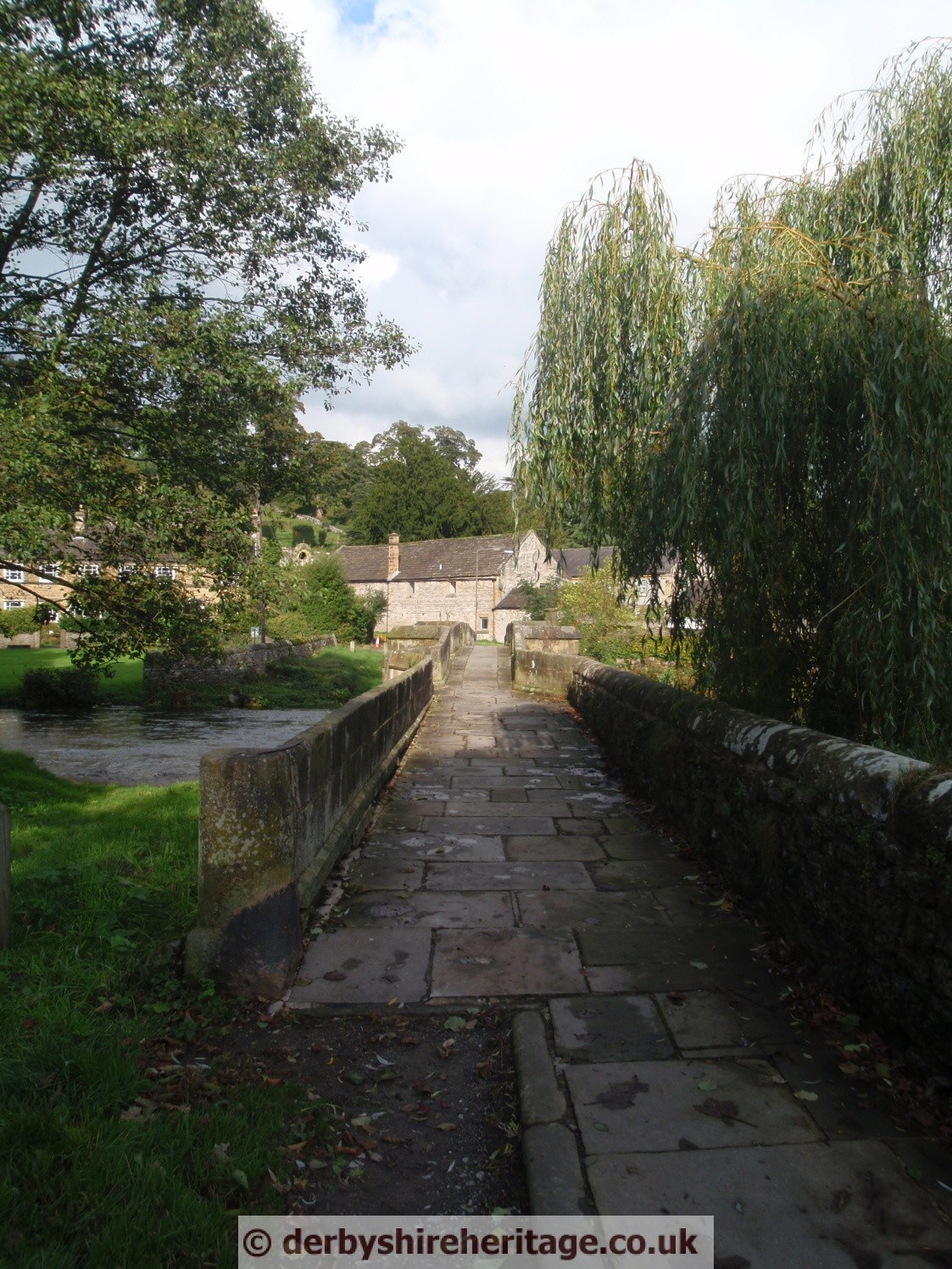
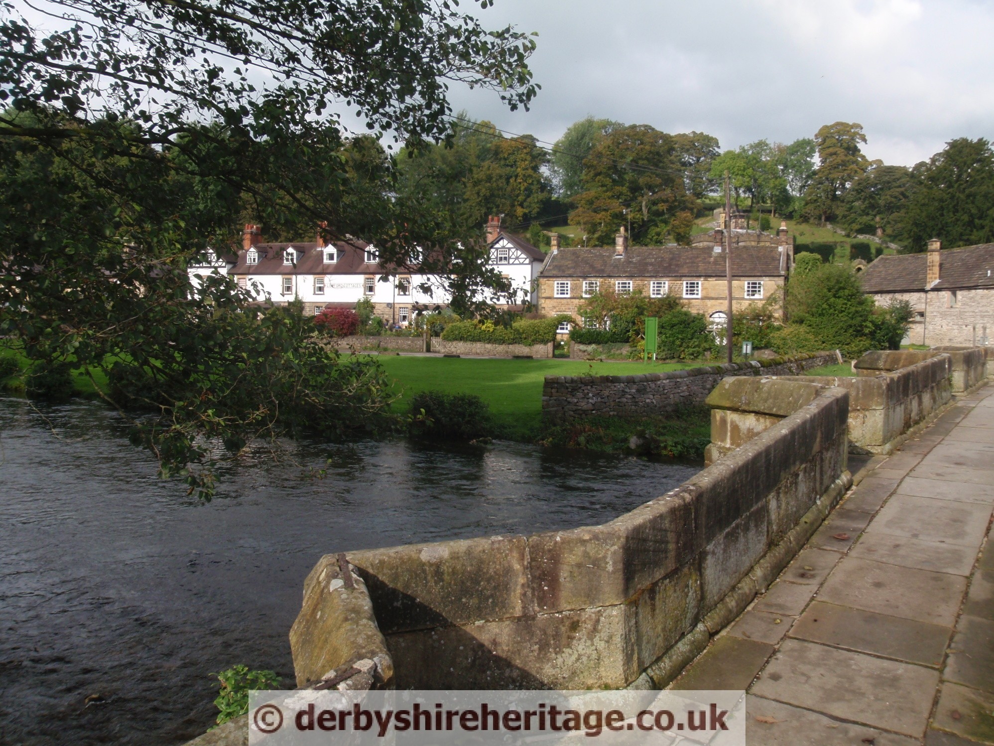
Simple, strong packhorse bridges were built to provide safe passage over rivers and streams.
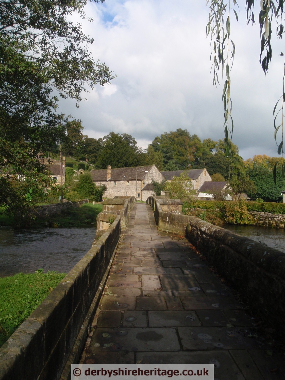
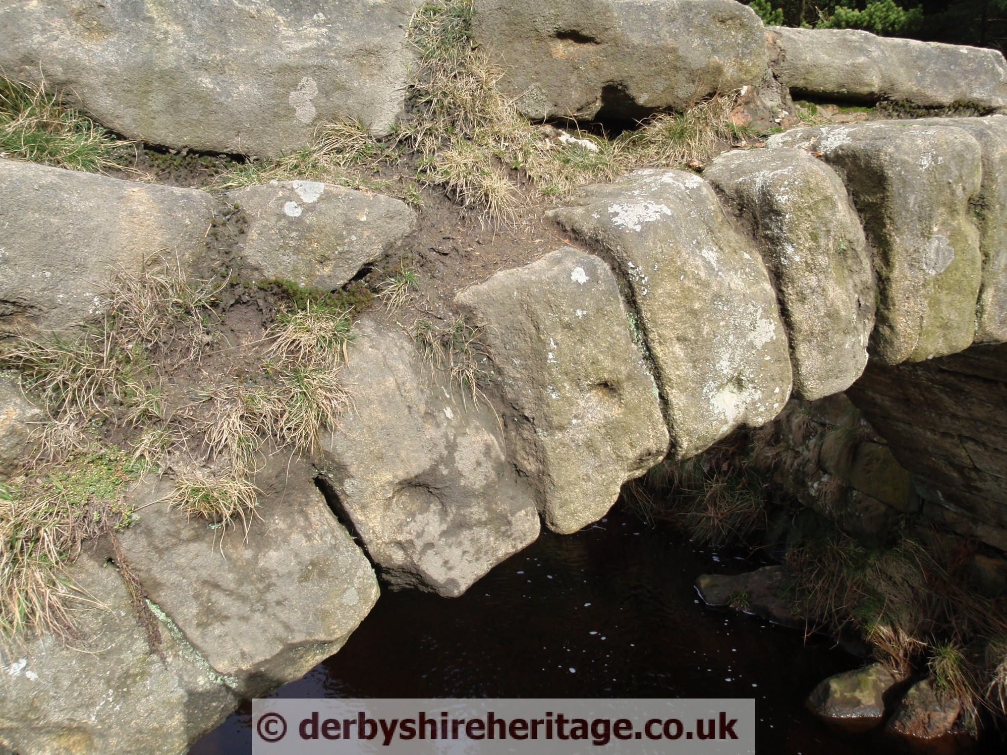
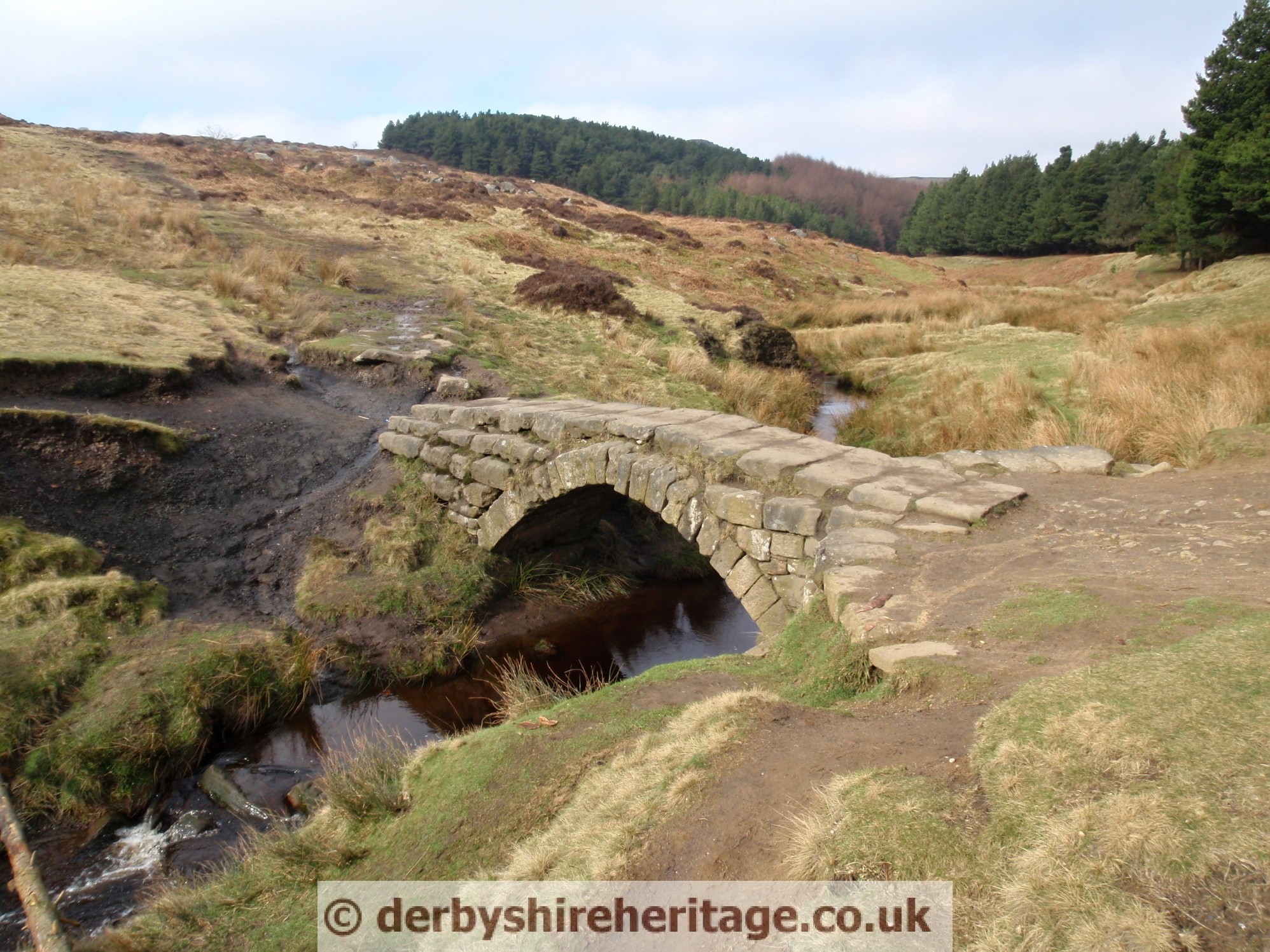
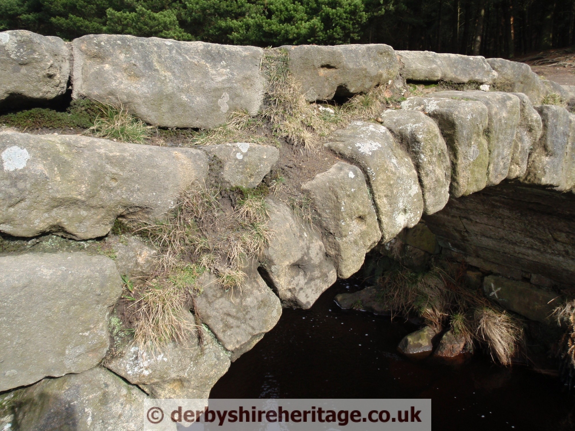
These were built to allow one horse at a time so were narrow with low parapets to allow clearance of the loads in panniers slung on each side of the horse.
The major era of the packhorse in the Peak District was the 1650s to the 1750s. Of the dated packhorse bridges in Derbyshire, the earliest is from 1664 and the latest from 1734.
Packhorse routes can often be traced by names such as Salters Road or Lane, Saltergate, Jaggers Clough.
Alport Mill packhorse bridge
Bowden Bridge packhorse bridge
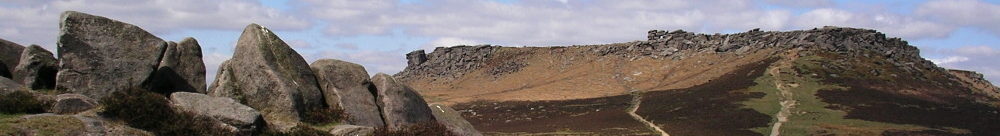
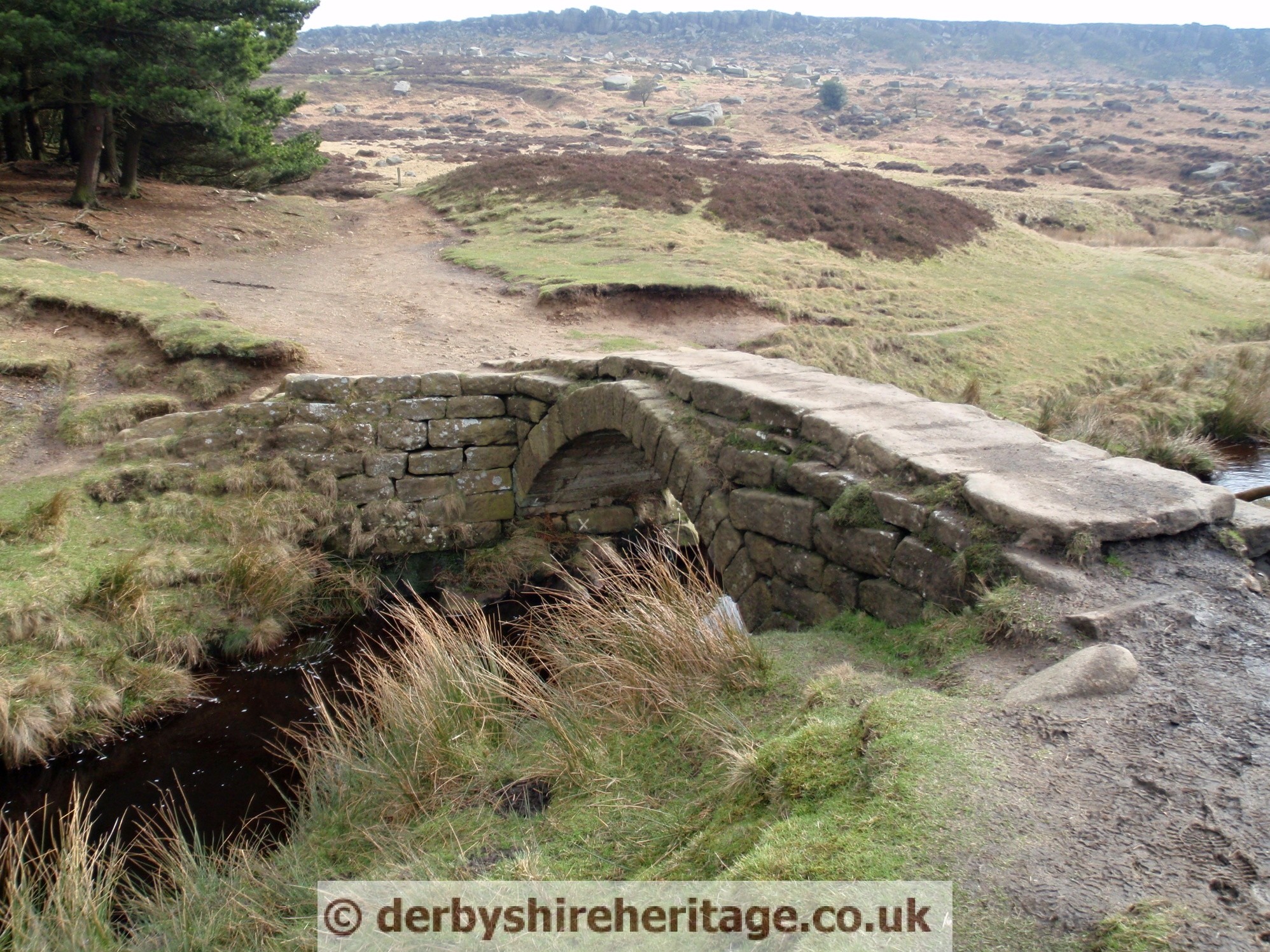
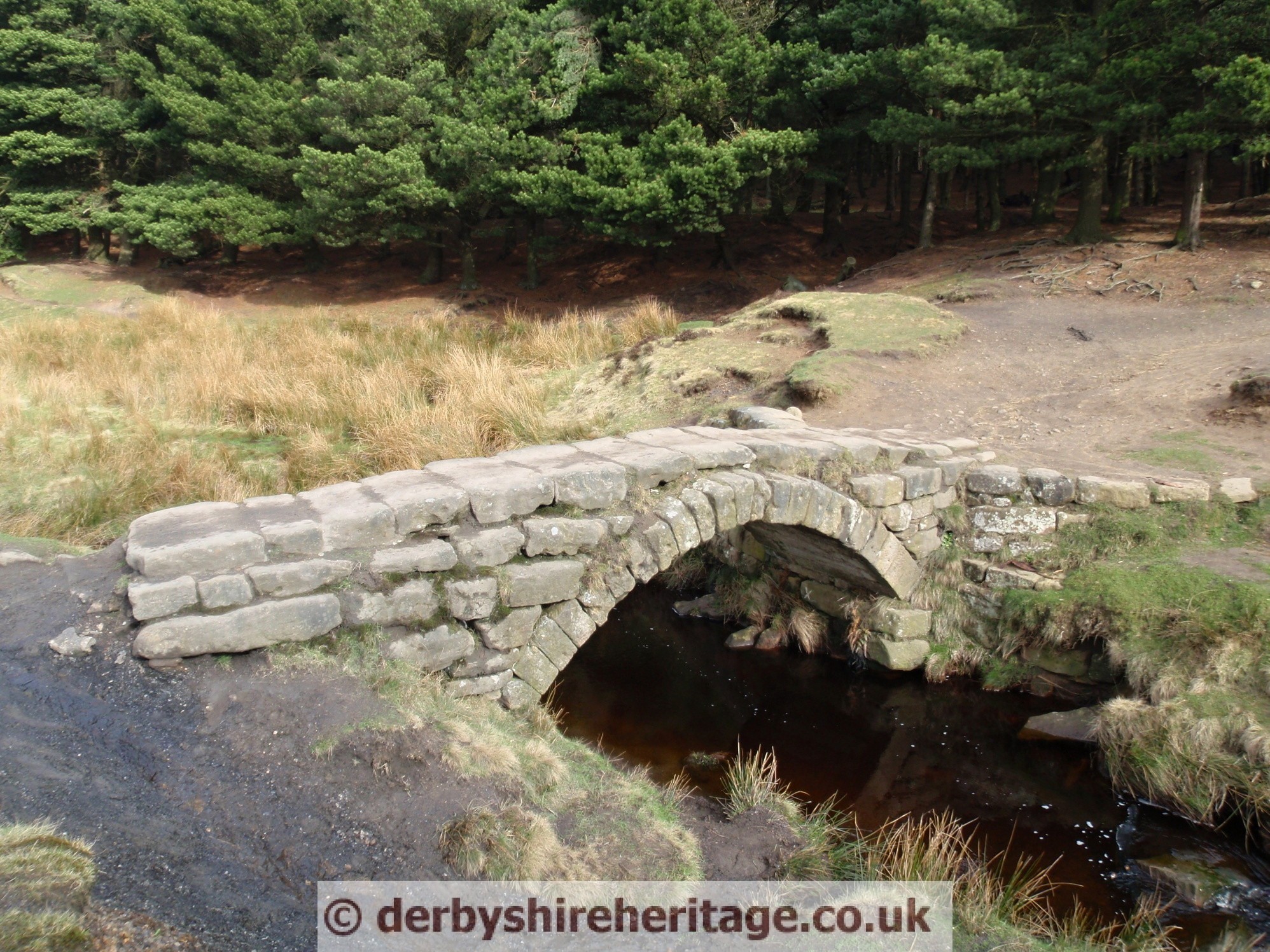
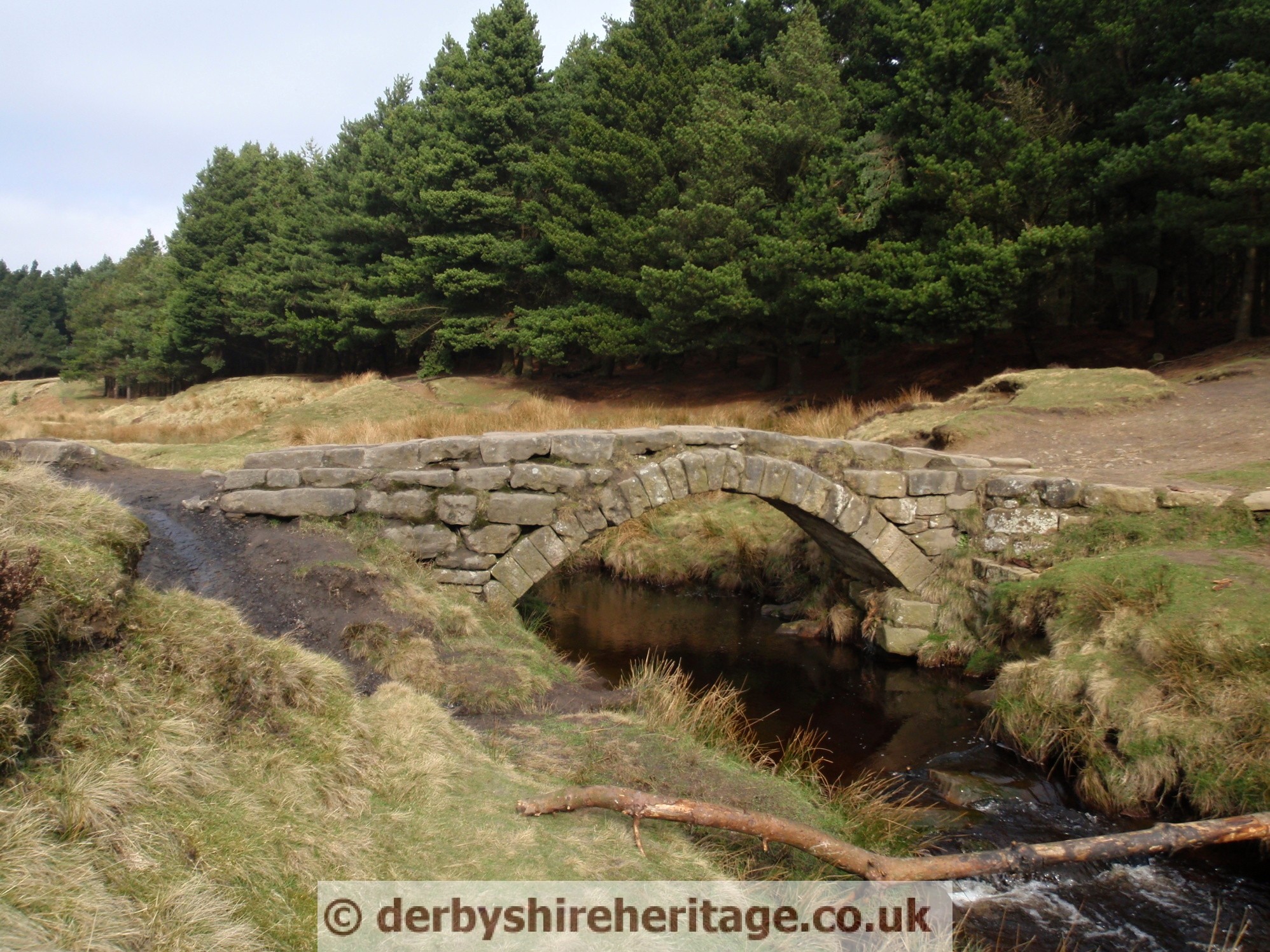
Carl Wark packhorse bridge
The photographs were taken in 2011 since then the bridge has been rebuilt.

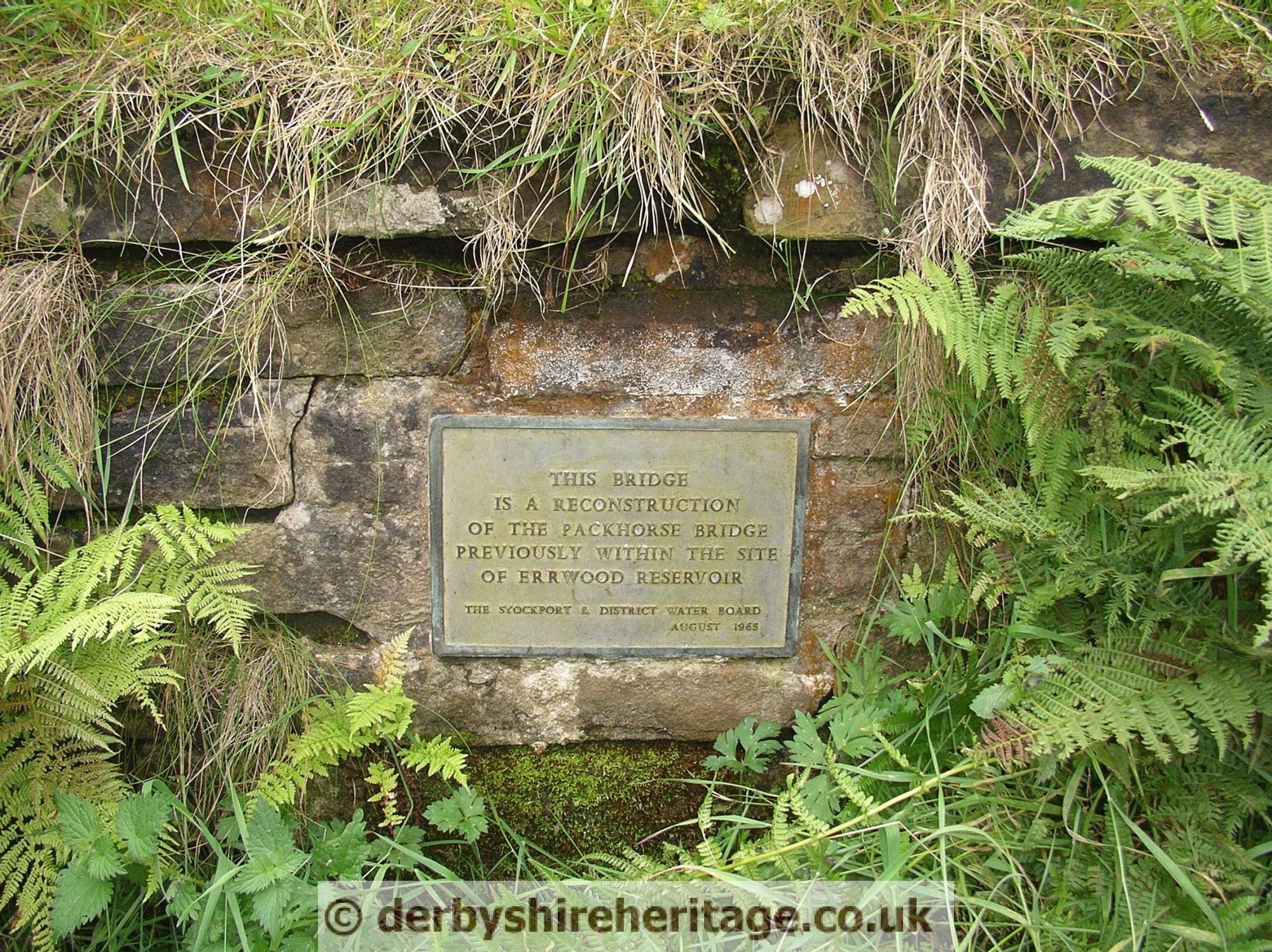
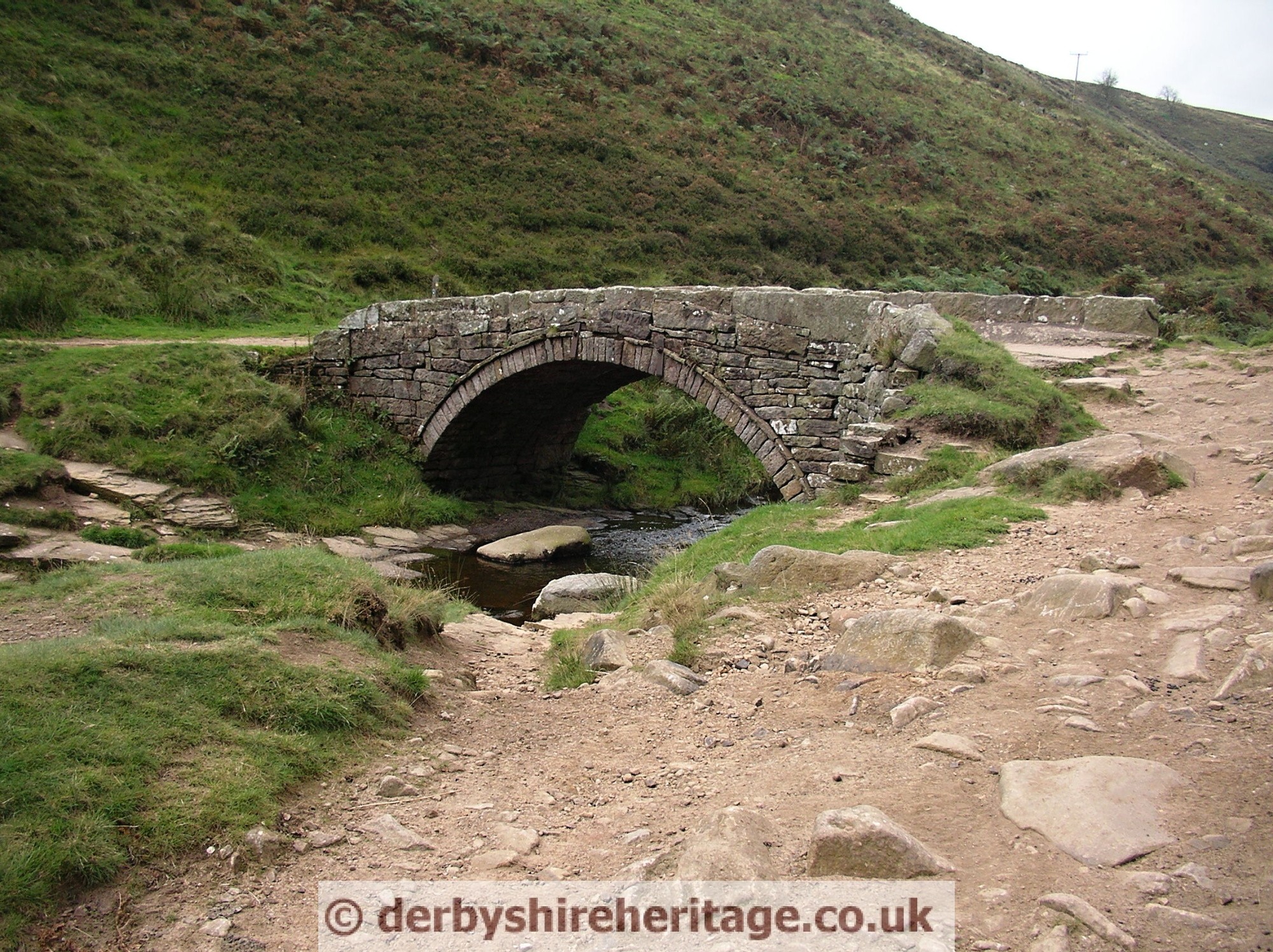
Goyts Clough Packhorse Bridge
This bridge originally provided a crossing point for the old road which crossed the River Goyt at the bottom of Long Hill.
The bridge was dismantled when Errwood Reservoir was built and relocated in the mid 1960s.
It was removed and re erected a mile up the valley to carry an existing footpath over the River Goyt.
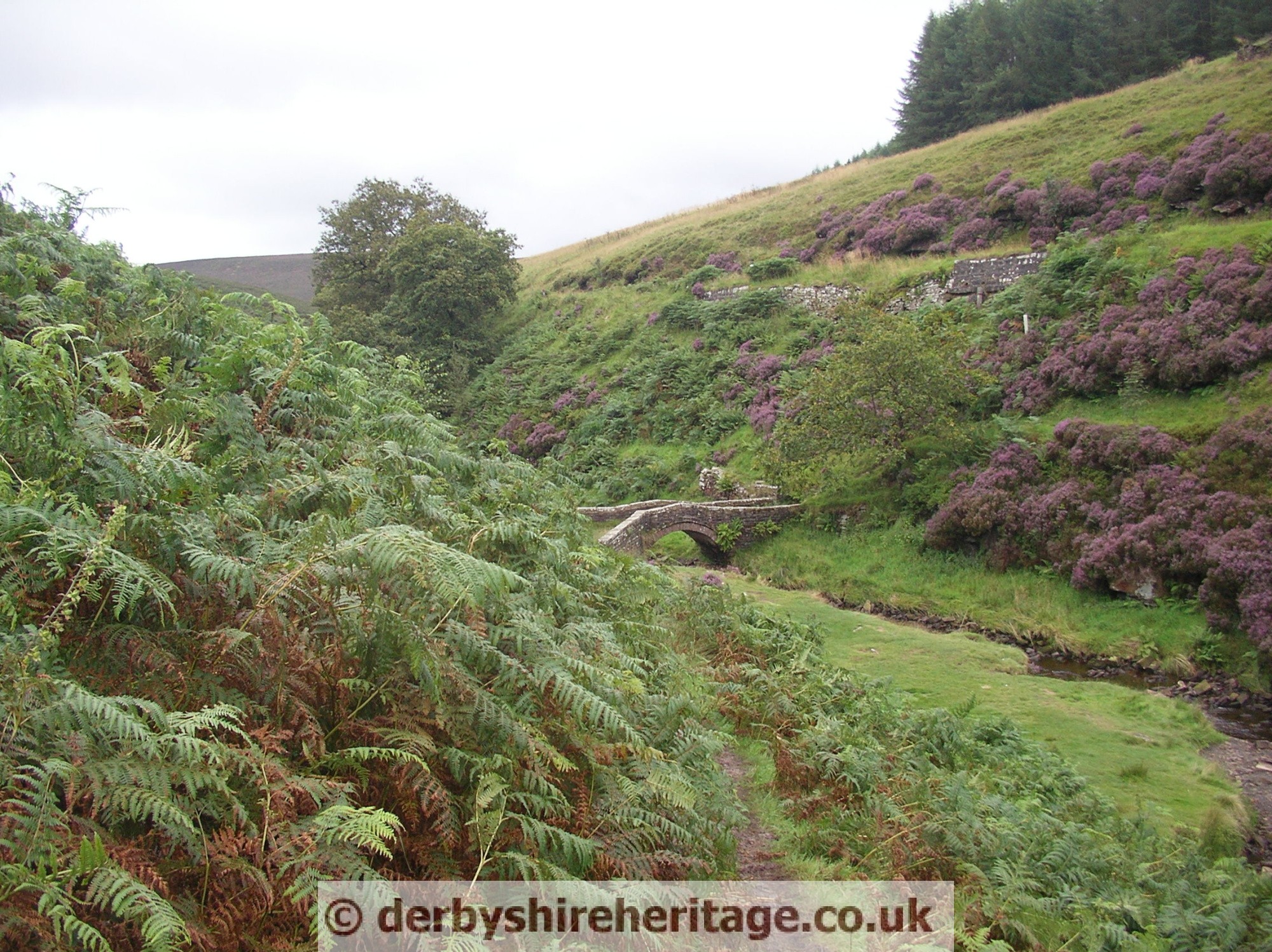
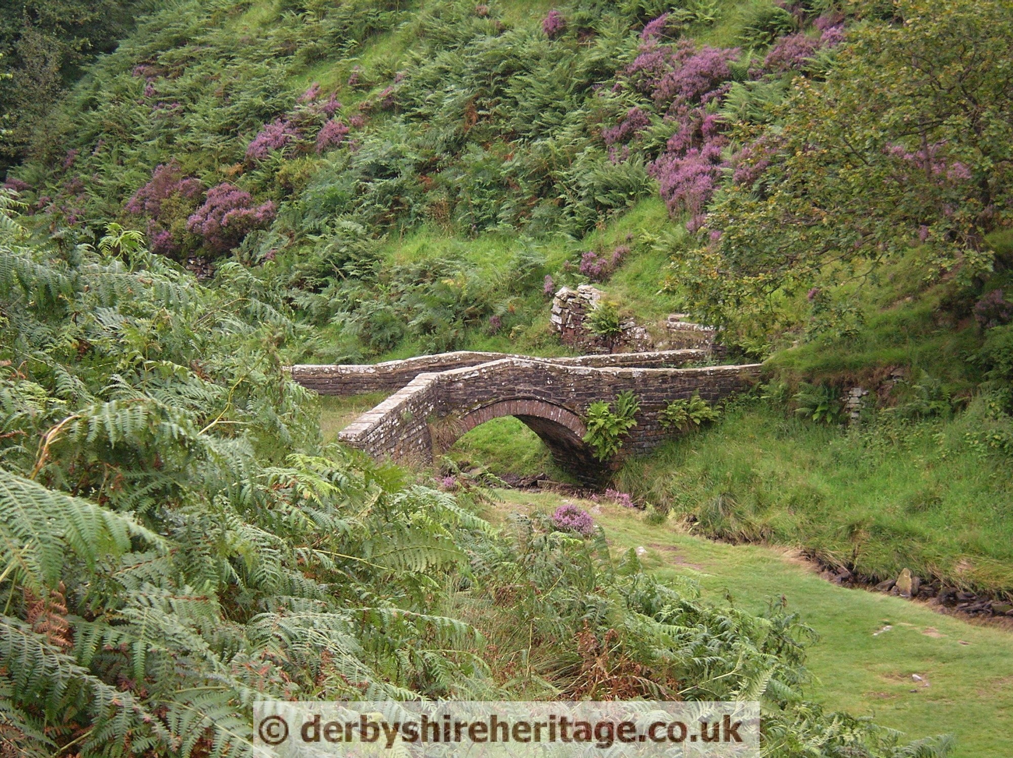
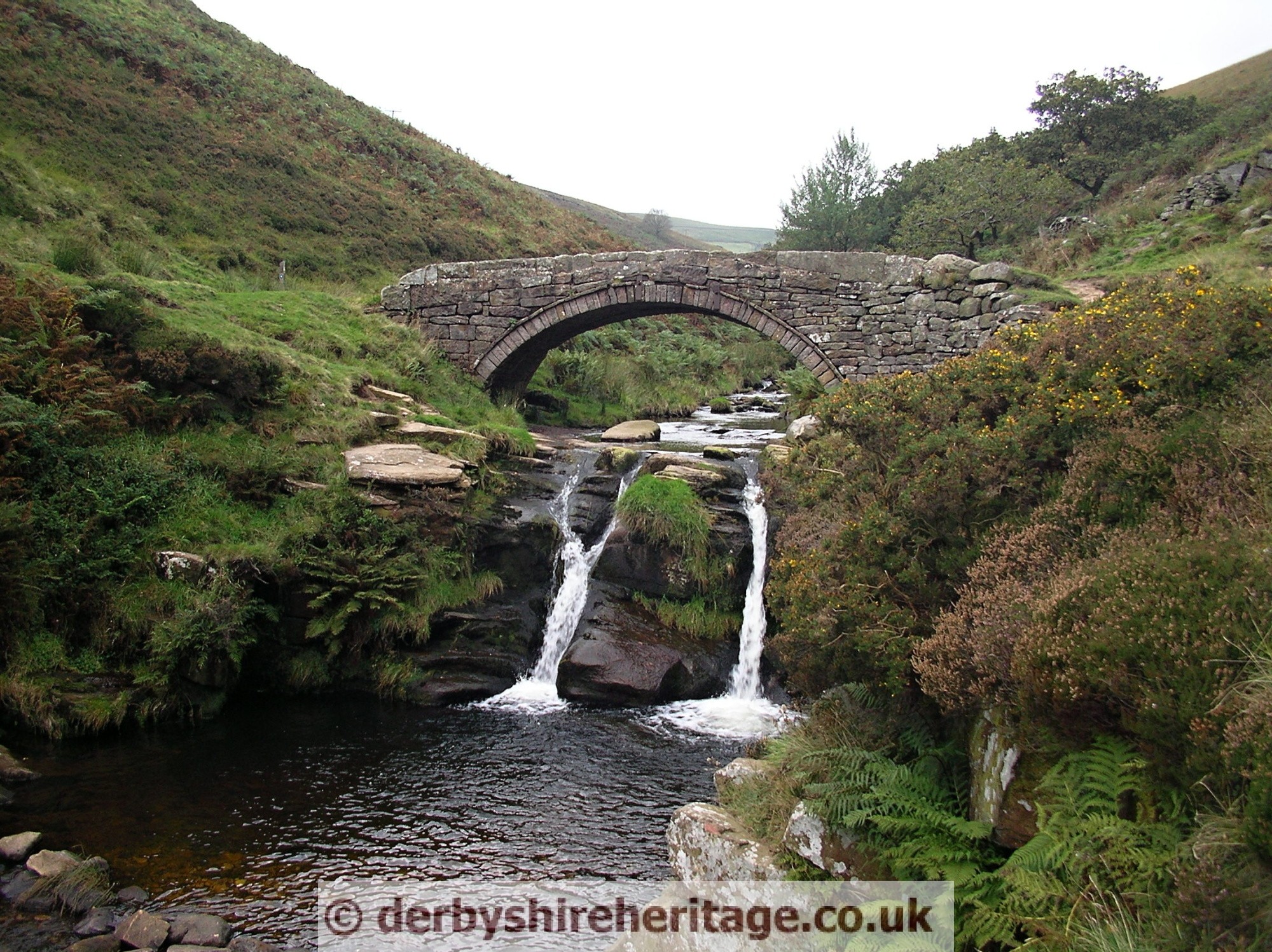
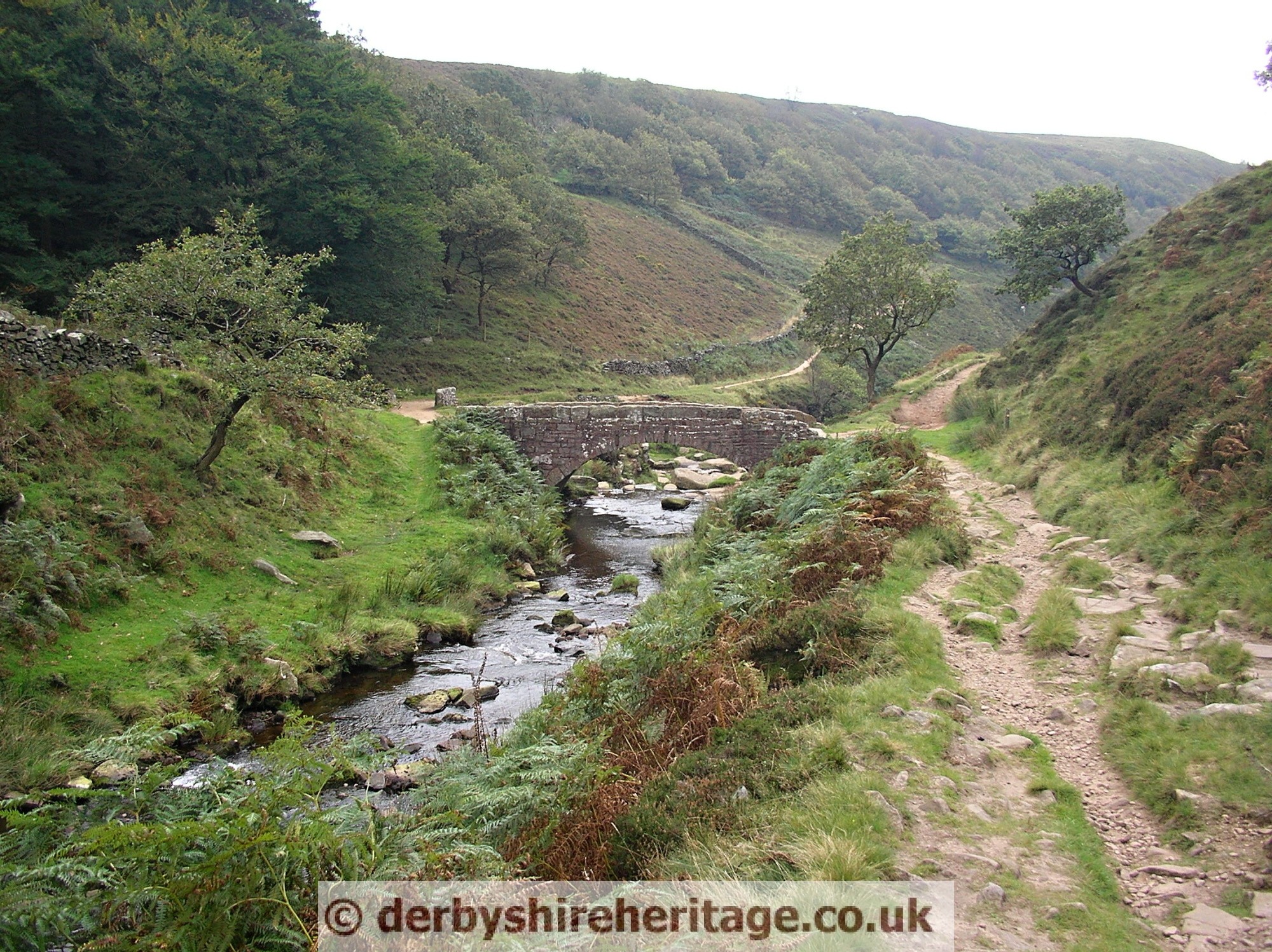
Panniers Pool Bridge and Three Shire Heads SK009685
This locality was a focus for four packhorse routes at the meeting point of three counties – Derbyshire, Cheshire and Staffordshire.
On Speed’s map of 1610 this is ‘Three Shire Stones’ and three tall stones are depicted, one in each county. Of these stones there is now no trace, but a packhorse bridge, probably there when Speed drew his map, still spans the infant River Dane just above Panniers Pool. At some time it has been widened by three feet on the upstream side. This name was first recorded in 1533; perhaps at that time there was no bridge and the horses with their panniers had to ford the small rock pool.
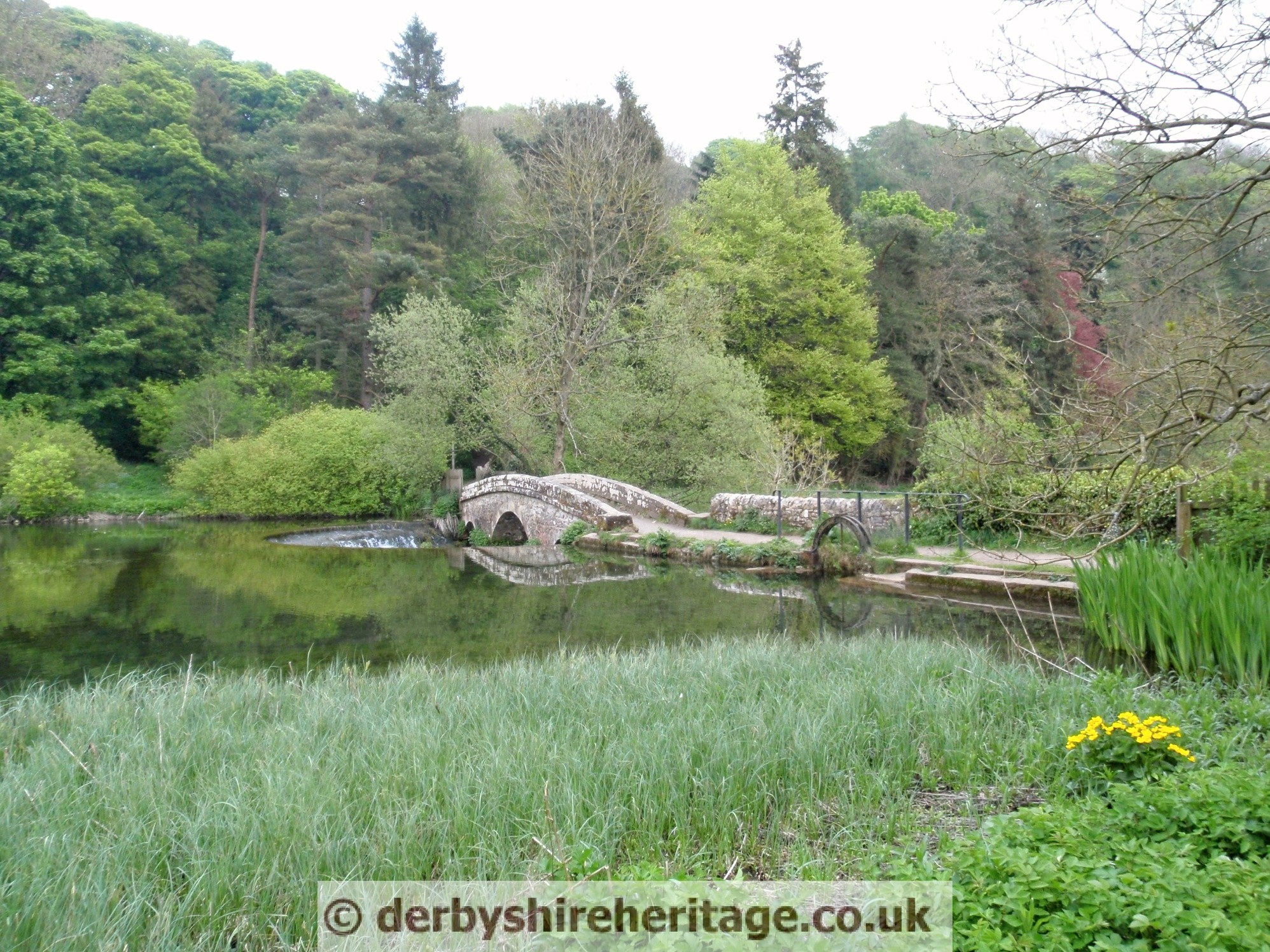
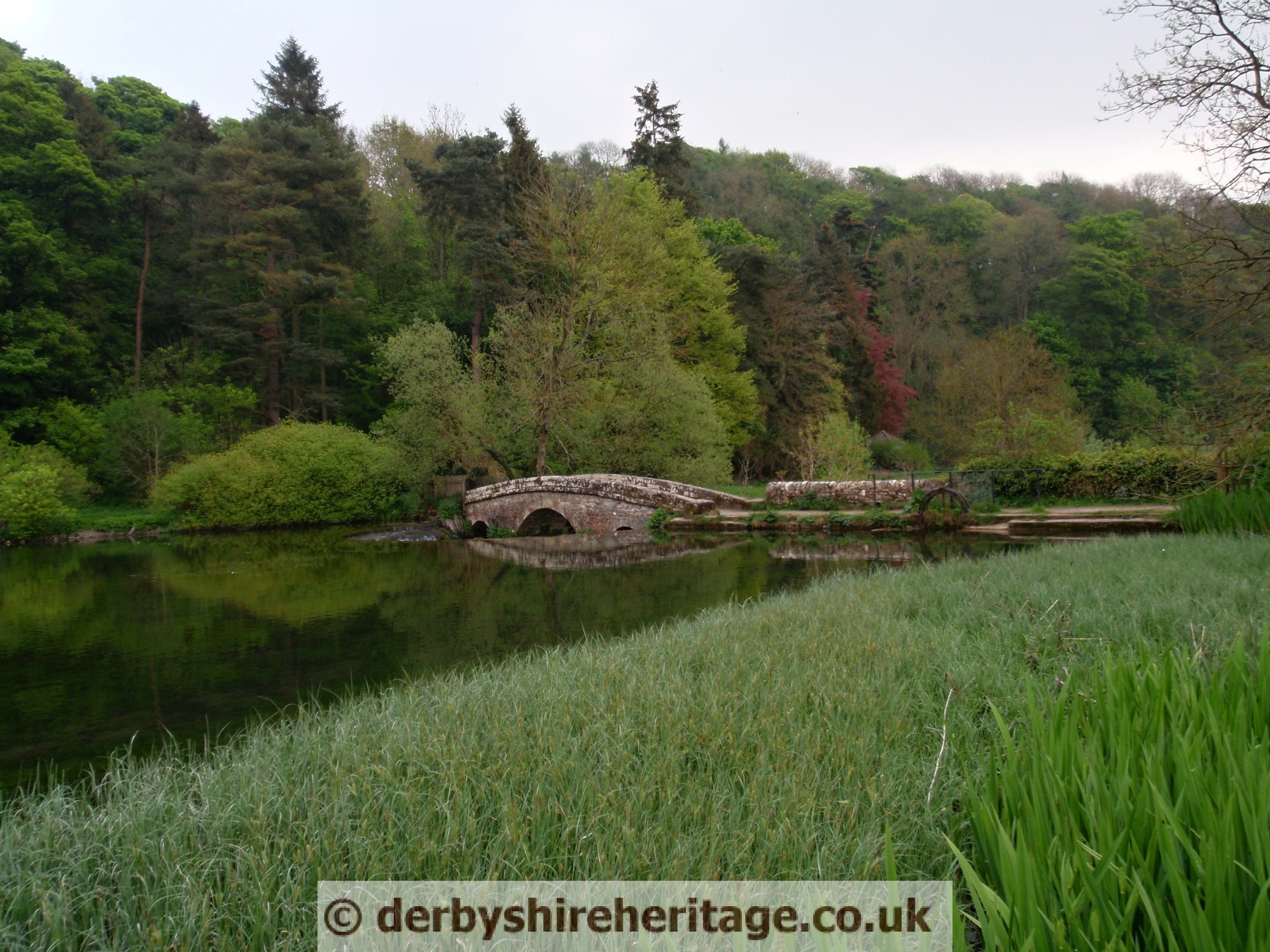
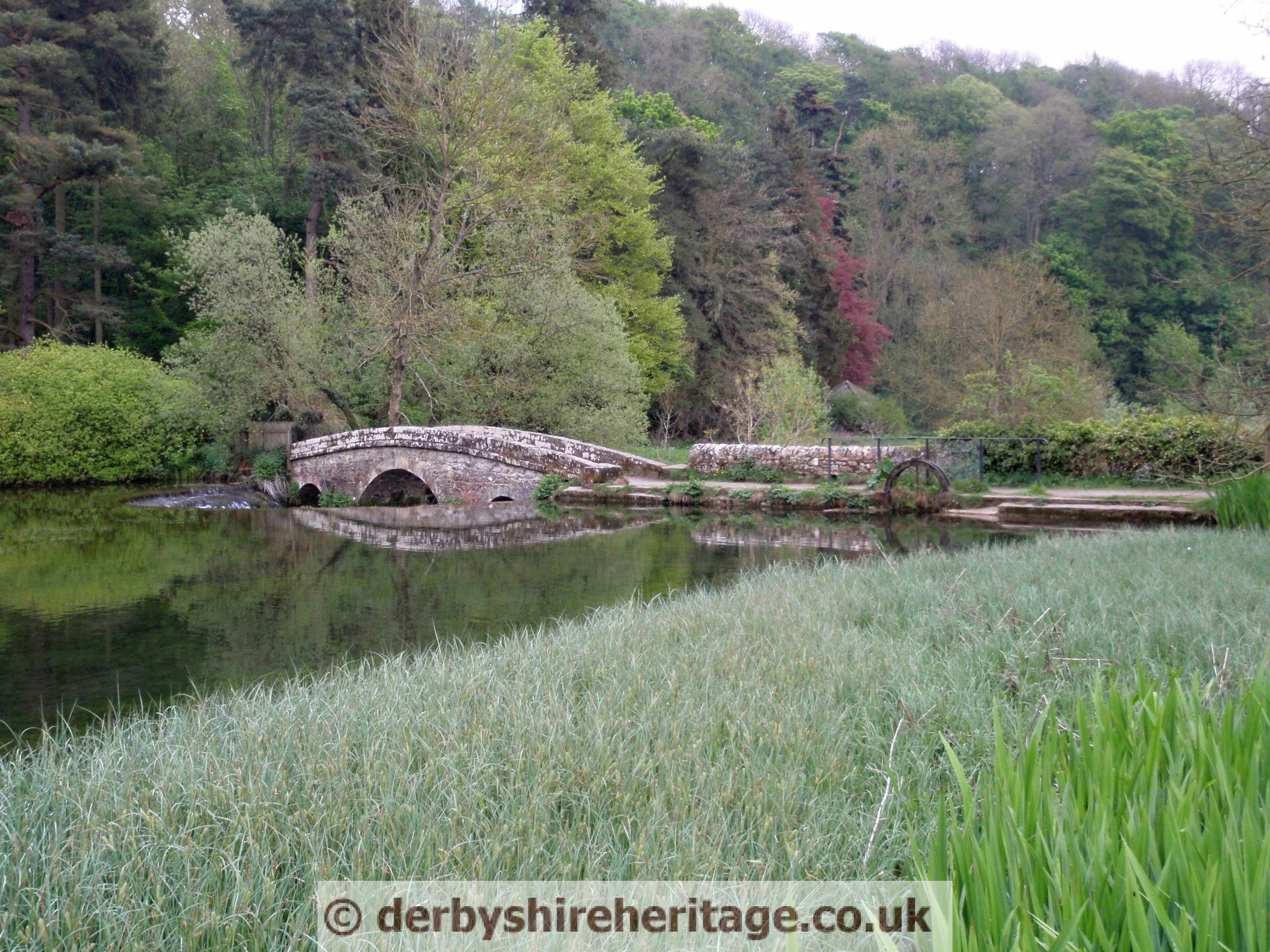
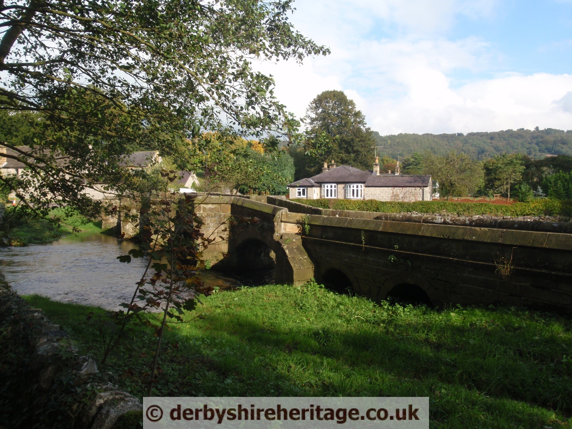
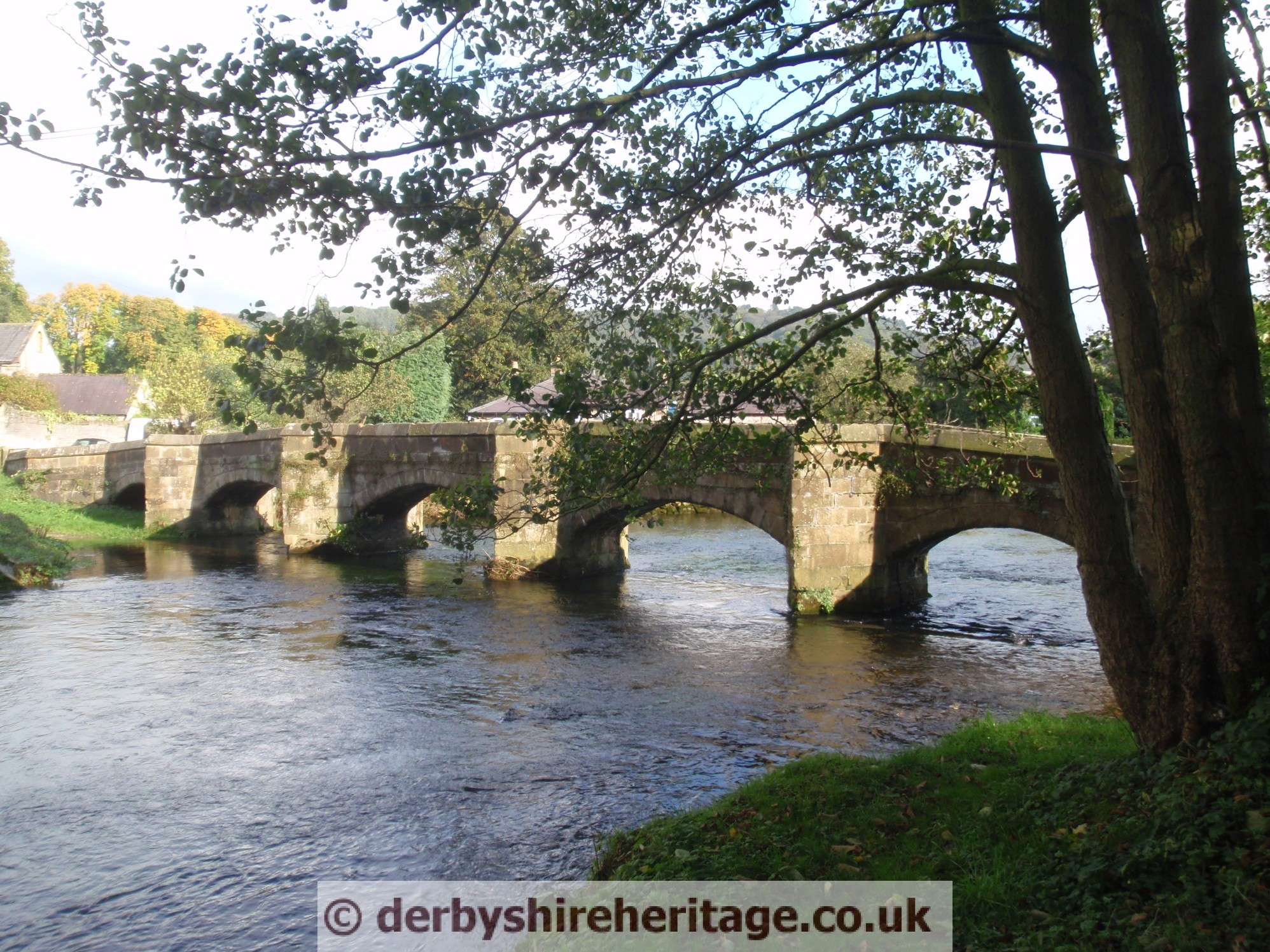
River Lathkill Raper Lodge packhorse bridge