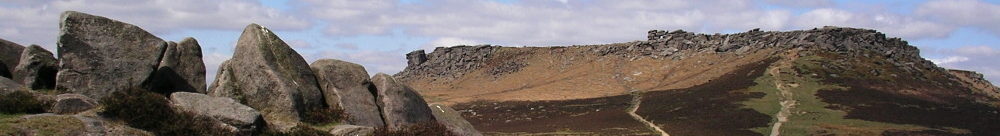
Axe Edge coal mines
In Hartington upper quarter, the coalfield is the southernmost tip of the coalfield which runs up to Oldham. It may have been mined in Medieval times, but by the early nineteenth century relatively large-scale mines were in operation.
The Axe Edge mines mined the Ringinglow coal seam which John Farey called the first coal in his survey of 1811.
The Yard coal seam was also mined.
The coal was of poor quality due to being sulphurous and the mines were difficult to work with faulting, steep inclines and flooding.
Ringinglow coal lies above Chatsworth grit and reached 4 feet thick in the Axe Edge workings. It was better quality than Yard coal .
Yard coal lies above the Woodhead Hill Rock and is usually shaly and sulphurous.
Ringinglow and Yard are the modern names used by the Geological Survey.
Mining records use other names. The Ringinglow Seam was referred to as the Mountain Seam about 1880-1900 and as the House Coal Seam prior to that. The Yard Seam was known locally as the Goyt Seam.
The mines were referred to as Goyt Colliery, Goyte’s Moss Colliery, The Level Mine, Buxton Collieries, Burbage Colliery, Thatch Marsh Colliery, Axe Edge and Thatch Marsh Colliery.
These coal mines close to Buxton were modest in scale with mining activity from 1600-1919.
Their most productive period was 1780-1880 and in the 1790-1810 period they were fairly substantial operations for that time.
Due to the lack of reserves they failed to develop during the Victorian era but continued until exhaustion of the readily available reserves in 1919.
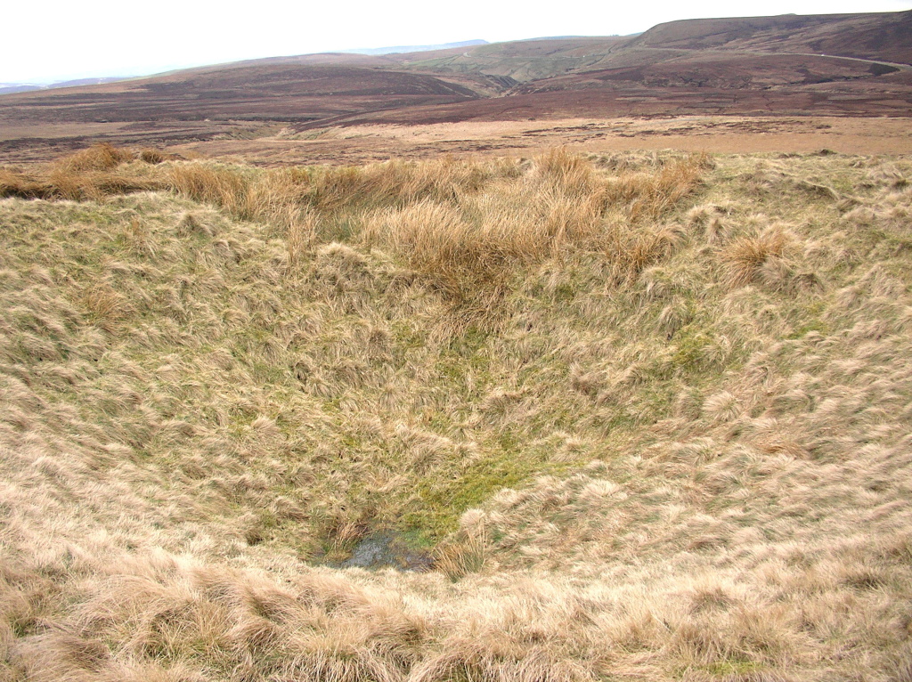
Goyt New Tunnel was built to provide access and rail transport.
The location of the airshaft into the tunnel is a large distinctive mound of grass covered rock just below the crest of moorland on the horizon.
This tunnel is known as the Goyt New tunnel and was constructed in 1812 to reach the coal seams. It is about 2000 yards in length and intersects the seams at a depth of 200ft. The coal was brought out in narrow gauge trucks and tipped into standard gauge wagons on the nearby Cromford and high Peak Railway for use in the Grin Limestone quarry where it was used to burn limestone.
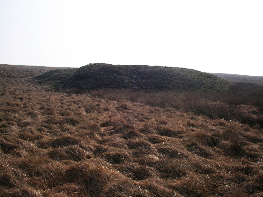
Goyt New Tunnel
Buckett Engine Mine
The surface remains comprise two ginged shafts, a collapsed climbing shaft and a flat circular area (horse gin). Originally it was a shaft mine but was later served by another access tunnel that was driven under this area from Level Lane at Burbage. The Duke’s Level as it was called was driven in about 1770. The coal from this and other pits was brought out in boats along a partly flooded tunnel.
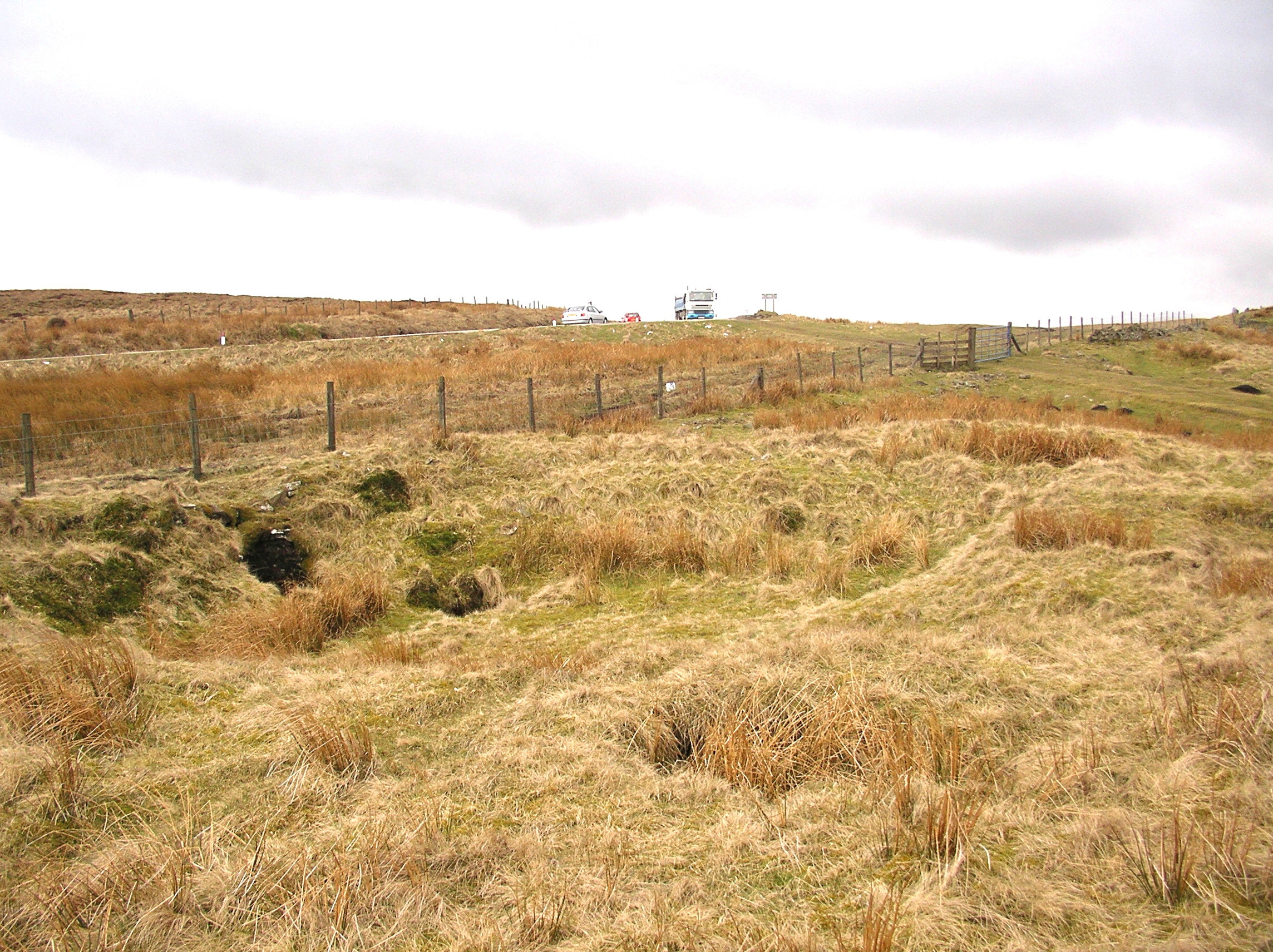
Old Engine pit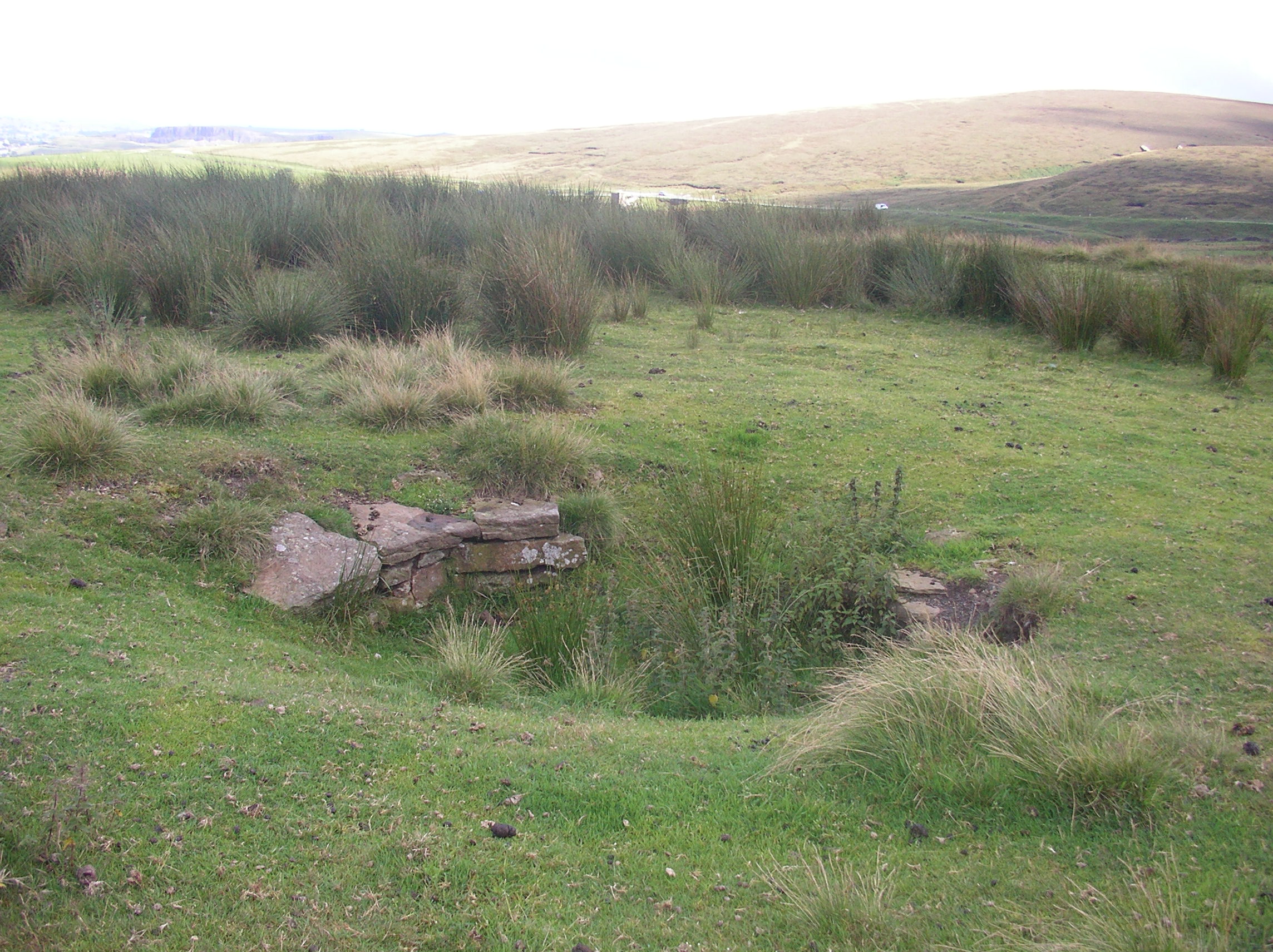
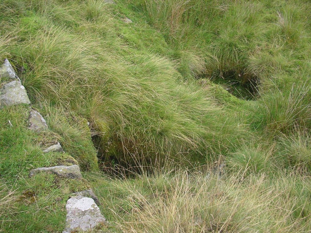
Airshaft
Large diameter ginged shaft filled to within a few feet of the surface. This is the last airshaft of the Duke’s Level. Now fenced.
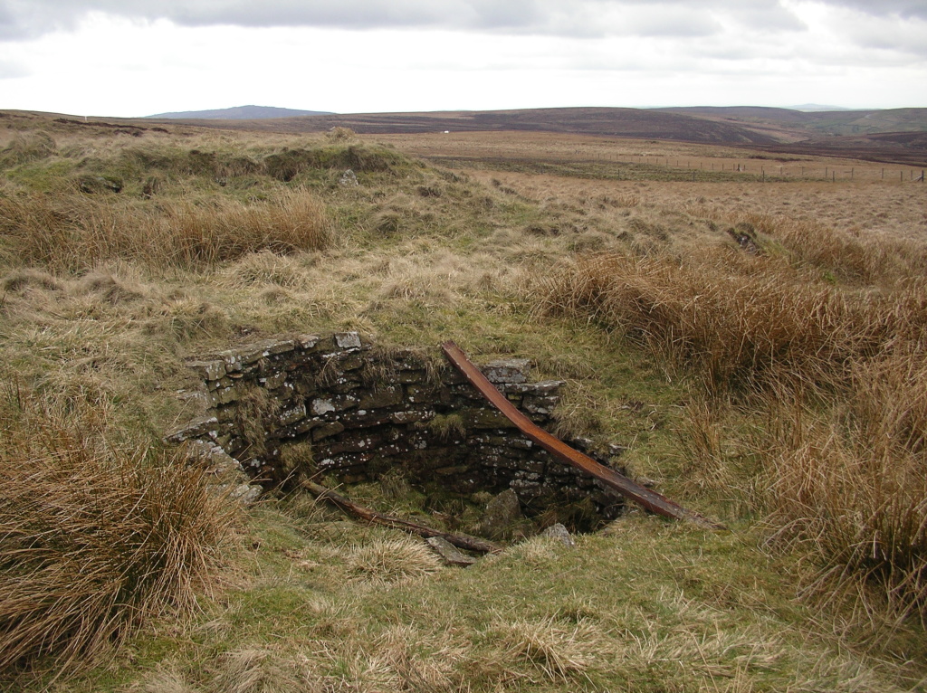
Axe Edge coal mines airshaft
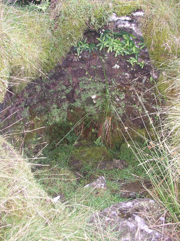
Collapsed shaft
Axe Edge coal mines collapsed shaft
Burbage Colliery
A large spoil tip marks the location of Burbage Colliery. This was a drift mine and the surface remains include the spoil tip, ruins of the engine house and a water storage pond. The coal was wound up the drift and then went down the long incline to Cisterns Clough to an unloading area alongside the A53. The mine closed in 1919 and was known as ‘Top Pit’ by locals. There are rumours that this and other mines in the area were briefly reopened in 1926 during the General Strike.