Derbyshire Soughs
Up till the 16th century most lead mining In the Peak District the surface and miners followed horizontal seams.
Eventually these were exhausted and miners had to sink shafts to reach rich underground seams.
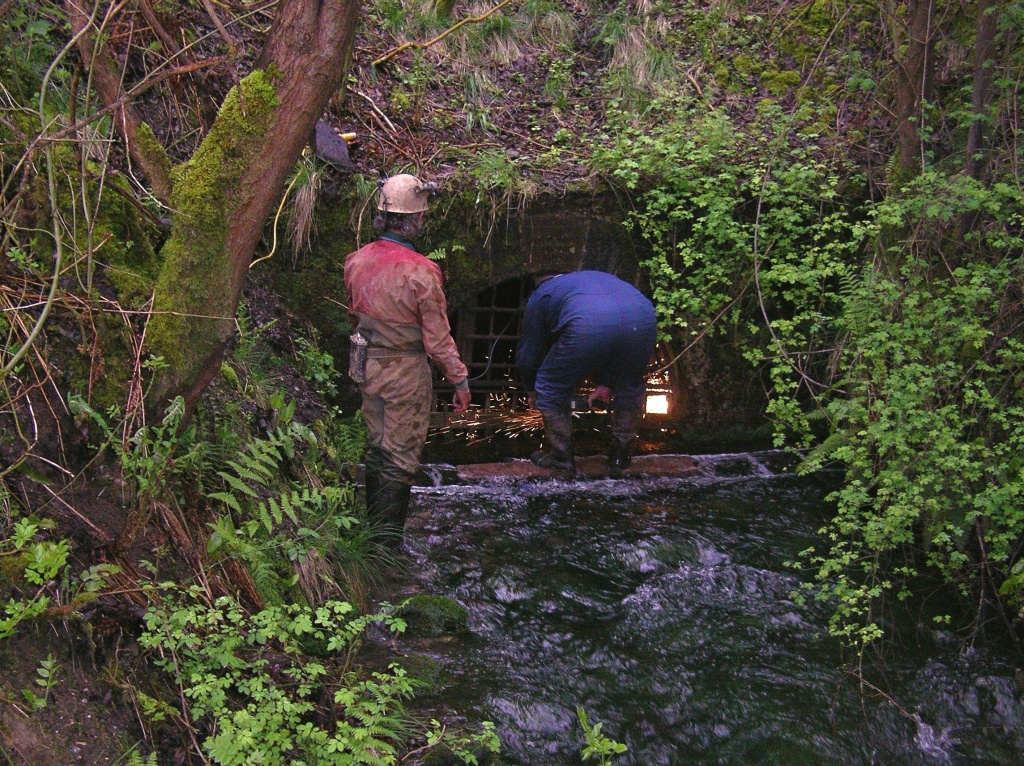
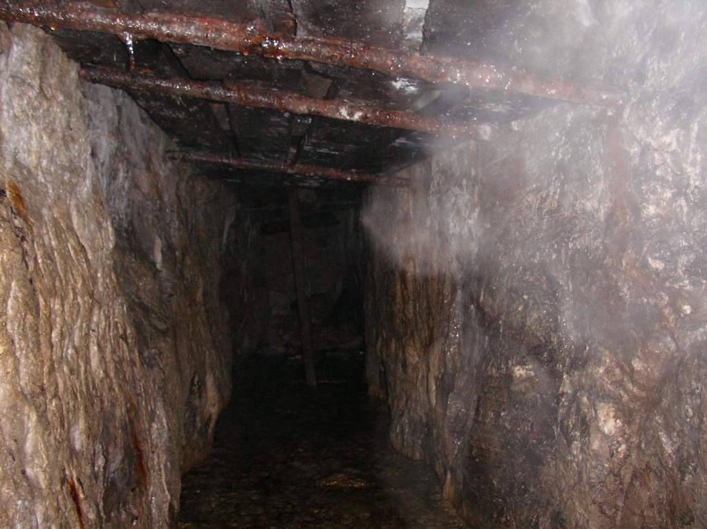
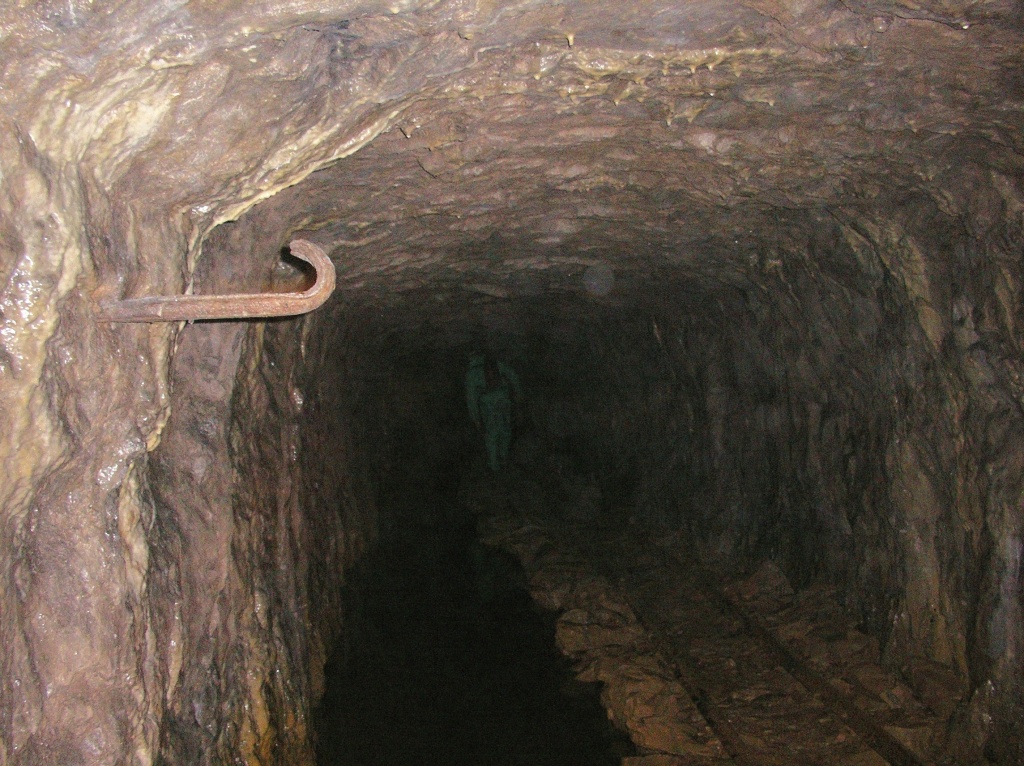
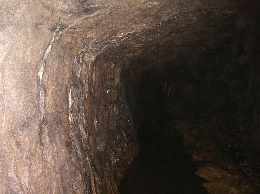
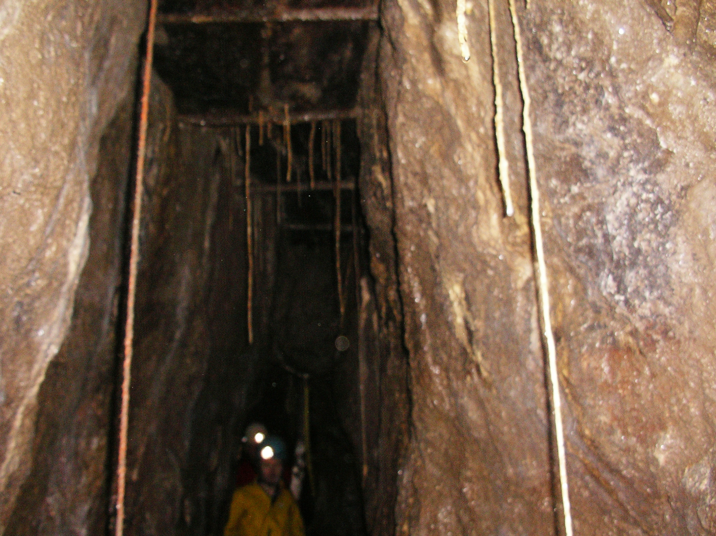
Long before the science of geology was established, the Derbyshire lead miners used elementary practical geology in laying out the lines of their soughs, or drainage levels, to gain any possible advantage of easier excavation. Their objective was to lower the water table, so as to make the deeper parts of mineral veins.
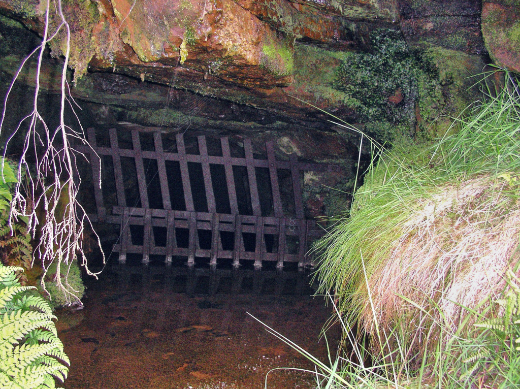
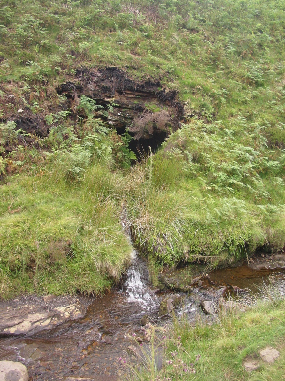
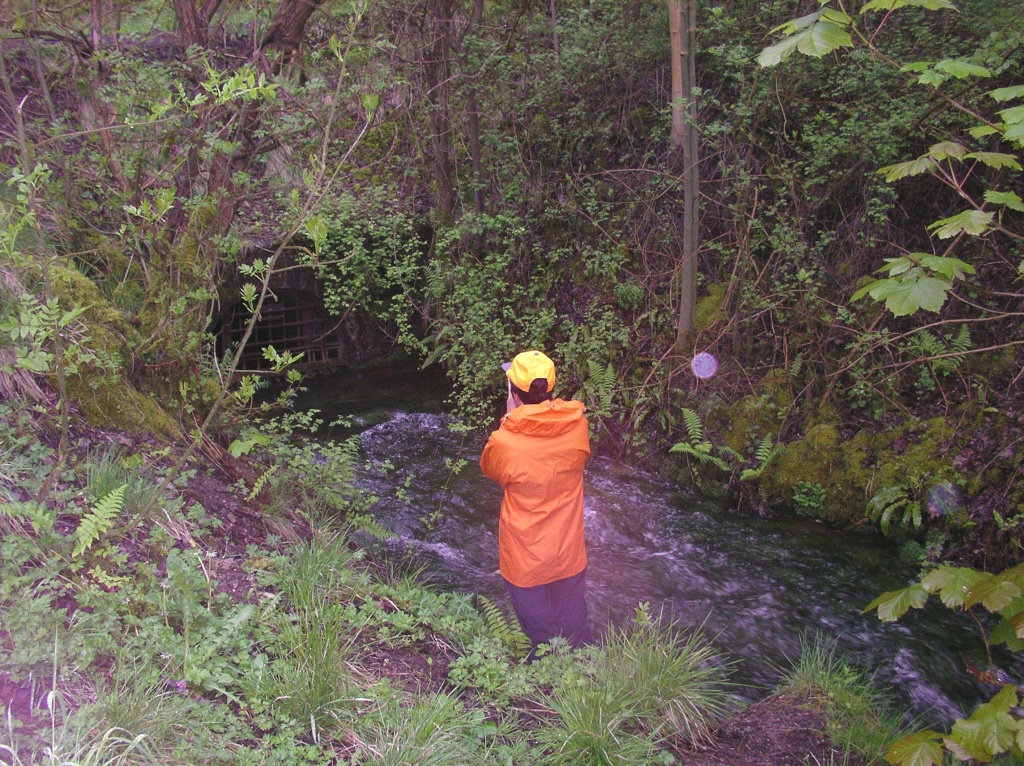
To prevent the mines from filling up with water and gain access to further lead deposits, drains or ‘soughs’ were cut through the hills to a neighbouring valley. Construction of soughs changed the hydrological landscape of the Peak District, both below ground and above. In some cases the soughs not only drained mineshafts but also the small rivers above, which as a result were dry most of the year. The construction of soughs also reduced the flow of watercourses powering the mills of the early Industrial Revolution. This led to legal conflicts between sough builders and others who relied on the availability of water. The soughs were constructed at a time when water was both a major hindrance to mining endeavour and yet was the primary energy source for industrial expansion, so that historical disputes surrounding sough drainage were common.
During the 20th century the soughs were largely forgotten but recently the soughs have been rediscovered for their industrial heritage.
Arbourseats Veins and Sough, Wardlow Sough
Bradwell Co-op sough
An intact slabbed sough bolt at the brook side. Two other slabbed drains running under the road on the other side of the brook may well also be from sough tails (Bradwell Sough and probably Southfield North Vein Level).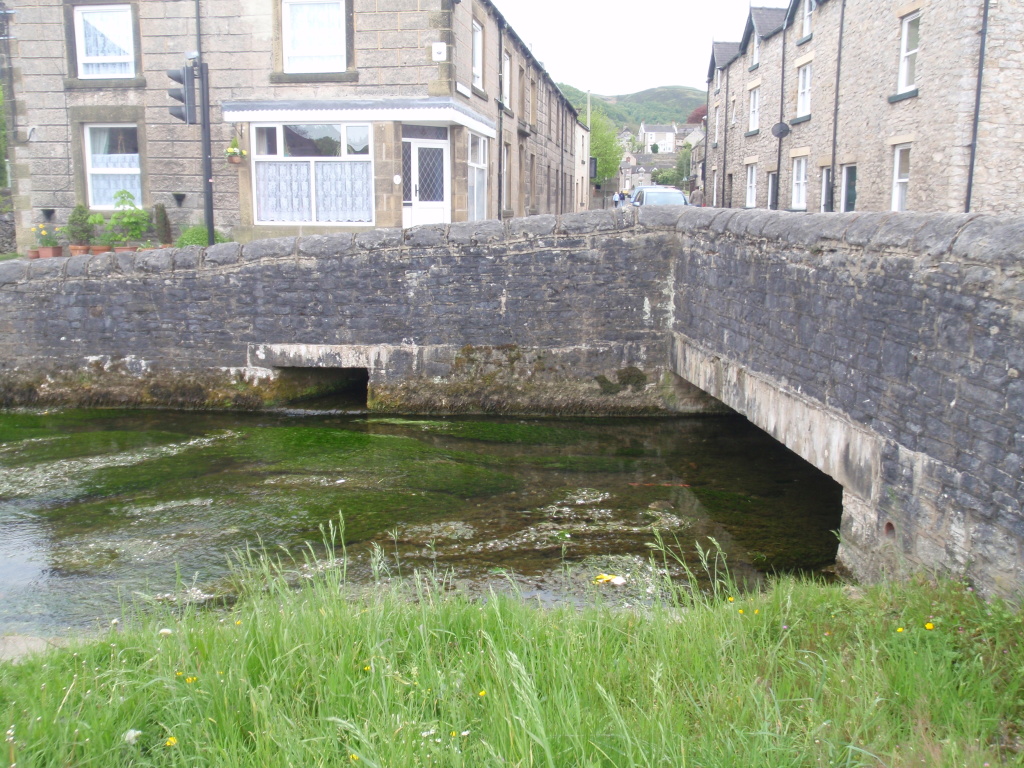
Cromford sough
The entrance to Cromford sough is listed as a Scheduled monument in Historic England.
To power Cromford mill Richard Arkwright separated Cromford Sough from the Bonsall Brook and created a new watercourse to the mill probably taking it across the road by aqueduct. It is known from the details of a dispute with his landlord that the mill was operational by 1774 but no further information is available. 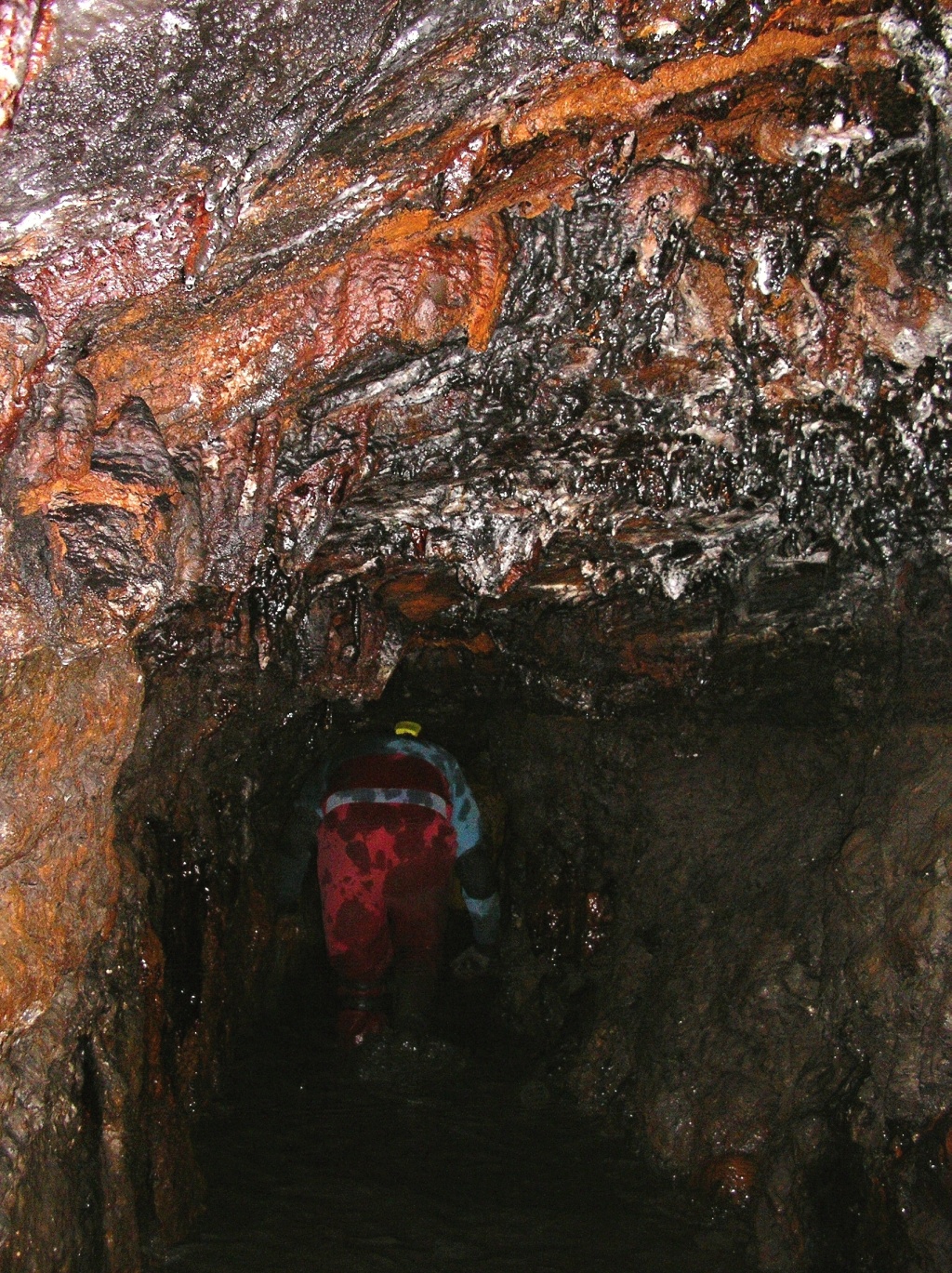
Engine sough and associated nucleated lead mine
Scheduled monument located below Mam Tor and includes part of Engine Sough together with an adjacent area of mineworkings which are part of Odin Mine.
Fritchley sough –
Fritchley Sough was completed in 1753 and is now the oldest surviving example in the area. It runs north east of Wakebridge Mine, north east of Crich Stand and drains into Fritchley brook on Dimple Lane. Construction varies from slabbed roof, through arched sandstone blocks to rough driven passages.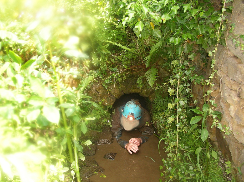
Goyts Moss sough – Scheduled monument in historic England.
This sough is located on the single track road close to Derbyshire Bridge at SK018720 .
The sough drains part of the Goyt’s Moss workings.
Haigh sough mine drainage portal –
The Scheduled monument includes a brick and stone built portal and part of a brick lined culvert which drains water from a coal mine into the Yellow Brook as it runs through Bottling Wood. The brick arched drainage adit was driven into a coal mine in 1653 by the mine owner, Sir Roger Brandshaigh, and was completed in 1670. The mine was subsequently extended and improved in the 19th century. The underground drainage system extends back towards the east for 936m to Parr Pit. Only the portal and 2m of the brick arched entrance to the drain, however, are included in the scheduling. The entrance is formed by two brick pillars supporting a large concrete slab, framing the brick archway of the drain where it exits into the Yellow Brook. The pillars stand 0.8m high from the bed of the stream and the slab measures 1.4m long by 0.2m deep and about 1m broad. The brick arch for the drain springs from a level floor 5m wide and stands 0.7m high. The north bank of the brook is revetted with rough stone walling for 1m on the west side of the entrance and 5m on the east side. A steel grille has been fitted across the entrance to prevent intrusion.
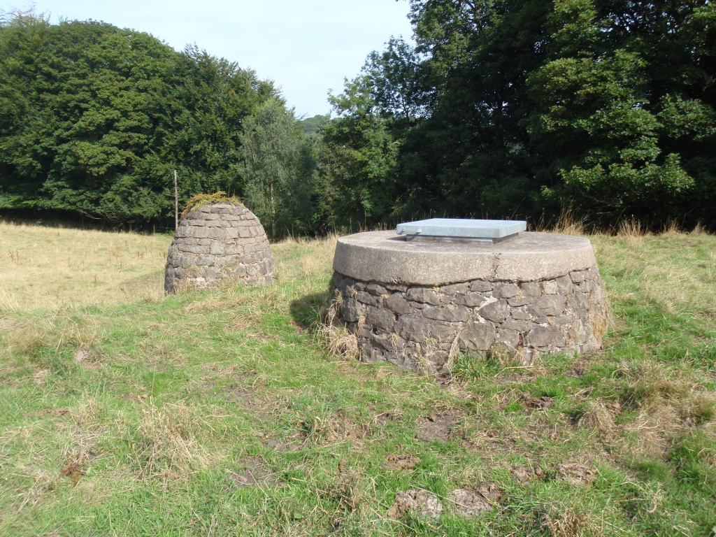
The Scheduled monument is located below the eastern edge of Stanton Moor in the eastern gritstone moorlands of Derbyshire. It includes part of Hillcarr Sough, a lime kiln associated with the construction and maintenance of the sough and a paved trackway extending between three shafts sunk down to the sough. Also included is a large spoil tip containing material removed during the excavation of the sough. Further remains relating both to the sough and to other industries survive in Hillcarr Wood. These additional remains are not included in the scheduling, however, as their full extent and state of preservation is not sufficiently understood. The entrance to Hillcarr Sough lies at the bottom of a steep east-facing slope in Hillcarr Wood and consists of a corbelled gritstone arch measuring c.1.5m wide by c.1.5m high. In the keystone of the arch is a metal pin which once hinged a cover. This cover, a metal grille, lies discarded to the north of the entrance. Next to the entrance is a small flight of steps which relates to a track approaching from the north. The steps are flanked by a jetty and both steps and jetty relate to the removal of material from the sough by boat. This material was stacked in spoil heaps, an example of which lies immediately to the north.
Lathkill Dale and Mandale mine and soughs
Lathkill Dale and Mandale Mines and soughs are scheduled for the following principal reasons. * Rarity: Lathkill Dale and Mandale mines are rare survivals of mining activity dating from at least the C16 through to the late C19, with well-preserved remains of individually rare features such as the remains of shafts, coes, gin circles, stopes, engine houses and other buildings, crushing circles, ponds and buddles, in addition to water management structures such as the aqueduct and aqueduct leat; *
Lees and Dove Rakes, Booth Lee Pipes and Sterndale sough
The site of Lees and Dove Rakes, Booth Lee Pipes and Sterndale Sough, lead extraction sites of the C17 and C18, and probably earlier, is scheduled for the following principal reasons: * Survival and Diversity: it is a well-preserved site displaying chronological depth and illustrating process and technological change through its diversity of features, the surviving earthworks of which have a defining presence in the landscape; * Documentary Evidence: Documentary sources provide significant evidence of C18 and earlier work on the rakes and at Booth Lee Pipes; * Rarity: The site illustrates the distinctive Derbyshire mining tradition, reflected in the range and character of surviving features, and contains a rare example of an outcropping flatwork of the C17; * Group Value: Lees and Dove Rakes sit within an area of well-preserved mining remains. The west end of Lees Rake is contiguous with the scheduling of Maury Mine, while Putwell Hill Rake and the remains of structures of the C19 and early C20 Monsaldale Mine survive approximately 1km to the south, illustrating the extent, intensity and longevity of exploitation of this regionally distinct mining landscape; *
Magpie sough
from Historic England –
In 1838 Magpie Mine amalgamated with Great Red Soil Mine and a year later John Taylor, the most respected mine manager in the country took over. Taylor introduced large scale and efficient working methods and was responsible for many of the standing buildings visible on the site today. One improvement was the installation of a second hand Cornish engine which doubled the power of the earlier Newcomen engine. Despite Taylor’s improvements there was still a problem with drainage and by 1868 the mine was passed to John Fairburn. By 1881 Magpie Sough had been built to serve as a pumpway for water from the mine. The sough took water from the mine to the River Wye approximately one mile north of the monument. The expense of building the sough caused financial difficulties and the mine suspended operations again in 1883.


Maury Mine and sough – Scheduled monument
Maury Mine and Sough, lead workings dating from the mid-C17, is scheduled for the following principal reasons: * Survival and Diversity: it is a well-preserved site displaying chronological depth and illustrating process and technological change through its diversity of features, the surviving earthworks of which have a defining presence in the landscape; *
Meerbrook sough engine house – GII Listed Building
2 Circa Mid C19. former engine house. Limestone rubble with dressed quoins and lintels. Plain tile roof with gabled ends.
Two storeys. Various openings, some with round arched heads and doorway with arched head.
Stone stairs to first floor west door.
The engine house is associated with the driving of the Meerbrook Sough, constructed for the draining of the Meerbrook lead mine. It is stated that this is the earliest of the remaining winding houses in Derbyshire.
The engine was taken out Circa 1870.
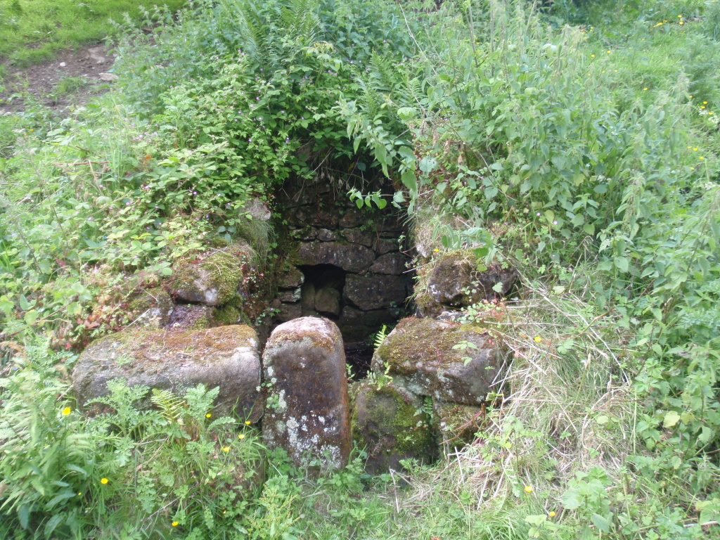
Meerbrook sough portal – Scheduled monument
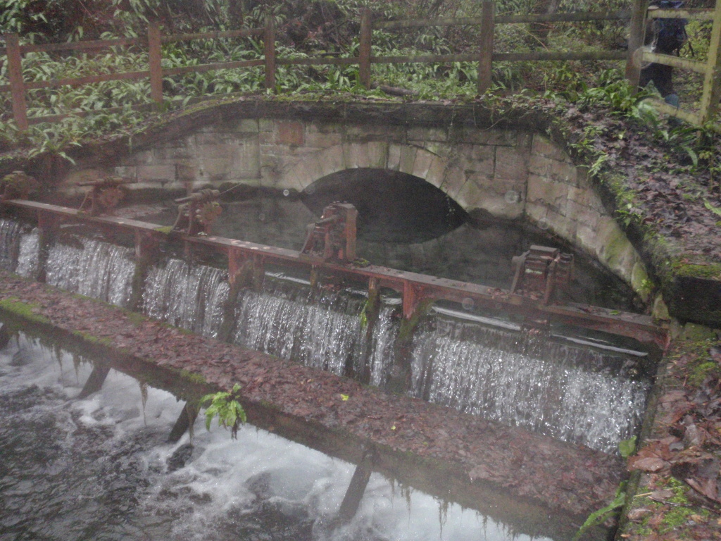
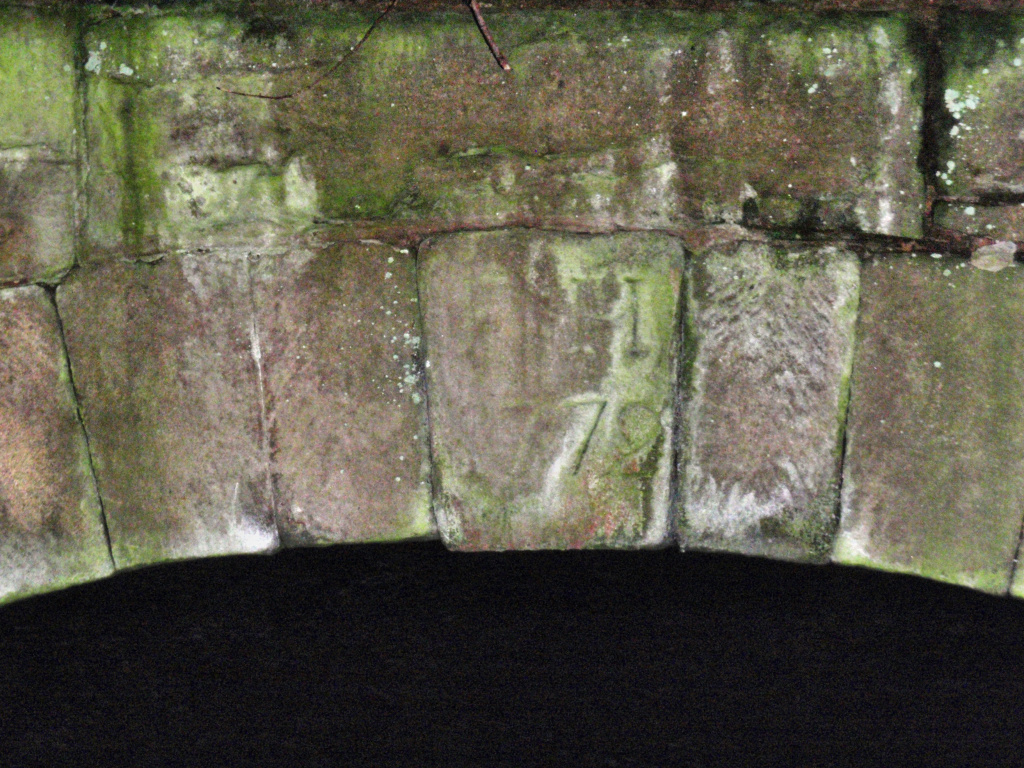
This Scheduled monument includes the intact dated portal of a sough or drainage tunnel. This is the outlet for one of the best known soughs to serve the Derbyshire lead mining field. Begun in 1772, its construction was affected by technological difficulties, such as problems of ventilation during excavation. Progress was extremely slow despite large initial investments and the cutting of the main sough ceased in 1813, but was resumed from 1841. The portal survives as a well preserved and wide-arched entrance, 3m wide and 2m high. The keystone bears the legend `F.H.1772′. The initials are those of Francis Hurst, the sough proprietor at the time. The sough continues to discharge around 17 million gallons of water a day. A water supply station was set up in 1902 to draw off water from the sough, and this later water management resulted in the installation of sluices and other modifications around the portal, to adapt the sough mouth for water storage.
Peakshill or Oden sough – Scheduled monument
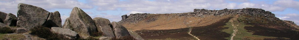
The Peakshill or Oden sough lies on gently sloping ground below the steep ridge called Rushup Edge. The monument includes the earthwork and buried remains of the sough, a drainage tunnel serving the Oden lead mine. The Oden or Odin mine, as it is sometimes spelt, is one of the oldest in the region, possibly having been worked as early as the 13th century. It was particularly plagued by drainage problems caused by local geology. Here, as in other Peak District mines, the hilly terrain made the driving of soughs a feasible and relatively economic solution to drainage problems, and the Oden mine had several. The Peakshill sough was driven between 1726 and 1729, a time of particularly high productivity for the mine. Whilst a fine example of a drainage tunnel, it is thought also to have been intended as an exploratory level to locate northern reaches of the Oden lead-bearing vein. In fact it did not reach lead-bearing strata, since the workable vein dips beneath the cover of Rushup Edge immediately north of the sough. The sough is visible as a linear series of well-preserved shaft mounds, 10m- 30m apart, which mark its route. These are the remains of ventilation shafts, which were sunk along the course of the sough to provide air for the miners cutting it. The mounds are large, ranging between 8m and 15m across and 1m-3m height. The larger mounds are located at the north and south ends of the sough, with smaller ones generally in the centre, where the proximity of some mounds gives the appearance of an undulating bank with intermittent depressions.
Peakshole sough – Castleton
from mindat –
An adit driven in 1770-1784 to drain the ground below the veins on the west side of Peak Cavern. From its entrance, it follows Peakshole Vein in westerly direction below the eastern end of the workings of Wall Shaft Mine where the vein narrows and disappears. At this point, a southwest cross-cut meets Wall Shaft Vein, and near the intersection, a pipe was mined from a short drive to the southeast. The level then continues along Wall Shaft Vein; where this vein becomes barren, it turns a little south and proceeds another 378 feet, but does not intersect any further economic mineralization. Stopes on Wall Shaft Vein are extensive and some ore was also raised from Peakshole Vein, but overall, the sough operated at a loss. In 1784, the driving of the adit came to an end and the workings were consolidated with Longcliffe and Hurdlow mines. This amalgamation continued operations until 1821 but it appears that no further development was carried out in the sough.
Stoke sough – drainage for Eyam mines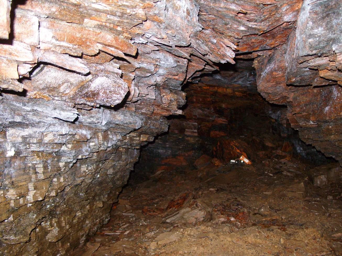
Wensley Dale sough – SK216609