GUIDE STOOPS of DERBYSHIRE INDEX
| Alport Height Bakewell, Crowhill Lane Barn Farm, Birchover Beeley moor SK294674 Beeley Moor SK299680 Beeley moor – Screetham House farm Big Moor Big Moor / Barbrook Reservoir Big Moor / White Edge Big Moor Eaglestone Flat Curbar Gap |
Darley Forest Grange Darley Road East Moor E of Hob Hurst East Moor N of Hob Hurst Edensor Edale Flash Dam Grindleford Hay Dale Hope Churchyard Hopton, Sycamore farm |
Hope Cross Longshaw Lodge Longshaw Park Mathersgrave Monyash Moscar House farm Moscar Lodge North Wingfield Northwood, near Two Dales Pikehall farm Ramsley Moor (Shillito Wood) |
Slipper Low farm Revolution House South of Elton Tansley Two Dales, Back Lane Tunstead Wadshelf Wadshelf at SK301720 Wadshelf at SK317721 Winster Winstermoor farm Youlgreave |
Guide Stoops – Today we have so many aids to make travel easier but this was not the case when jaggers, salters, pedlars and tinkers where traveling the countryside to carry out their business.
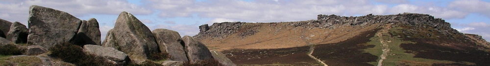
Derbyshire moorland can be difficult to negotiate using modern maps or gps so with only local knowledge this was an especially dangerous place to travel. Travelling over higher ground was beneficial in terms of reduced journey times as lengthy detours could be avoided. However sometimes the price for this could be high with loss of life being the ultimate cost.
Natural topography, recognisable landscape such as rock formations or man-made features were often used for guidance. Local guides would sometimes be hired to improve the chance of having a safe journey. In the Middle Ages the Church and the monasteries helped travellers to find their way as the monastic landowners erected crosses, sometimes to define boundaries. Following the Dissolution of the Monasteries in the late 1530s there was no institution left which was responsible for marking routes.
Generally most travel took place between May to October as the biggest problem facing all travellers was the weather, especially on the high ground where it can suddenly change. There were of course some who found it necessary to travel in winter, and thus there were many occasions recorded of travellers losing their way in bad weather or being overwhelmed by snow or cold. As a result many travellers perished.
Initially maps were unavailable, the First Ordnance Survey Map is recognised as the 1 inch map of Kent published in 1801. Prior to this maps were unaffordable and inaccurate, in any case a certain level of literacy was required to interpret them.
In 1697 during the reign of William III an Act was passed which decreed that in the more remote parts, where two or more paths intersected, the local Surveyors were to erect guideposts or guide stoops showing the way to the nearest market town. This Act also covered legislation regarding highways and cartways.
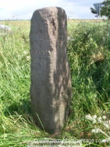
There was no standard laid down to define the size, shape and inscriptions for each of the guide stoops and thus they show a variety of spellings for local towns in upper, lower or mixed case lettering. Although most people were illiterate or at best semi-literate many were able to read to some extent if not write so were able to decipher the directions.
Some guide stoops have a representation of a pointing hand alongside the place name. For those that didn’t it was necessary to turn right from the face showing the place name denoting the desired destination and not continue straight on as might be expected.
Over the years guide stoops have suffered by being dug up, damaged, used as farm gateposts or even as target practice during WWII military training. In fact during WWII many road signs, signposts, mileposts etc were removed but as the guide stoops were often in remote locations and too big to transport far they were lifted out and buried nearby by the local home guard.
Fortunately in Derbyshire stone guide stoops were erected ensuring their longevity and considering that they are 300 years old it is pleasing that so many have survived.
Grateful thanks must be expressed to Howard Smith for his detailed account of Derbyshire Guide Stoops without which this page would have much less to offer. Also Peakland Roads and Trackways by Dodd provided valuable information (see Bibliography).
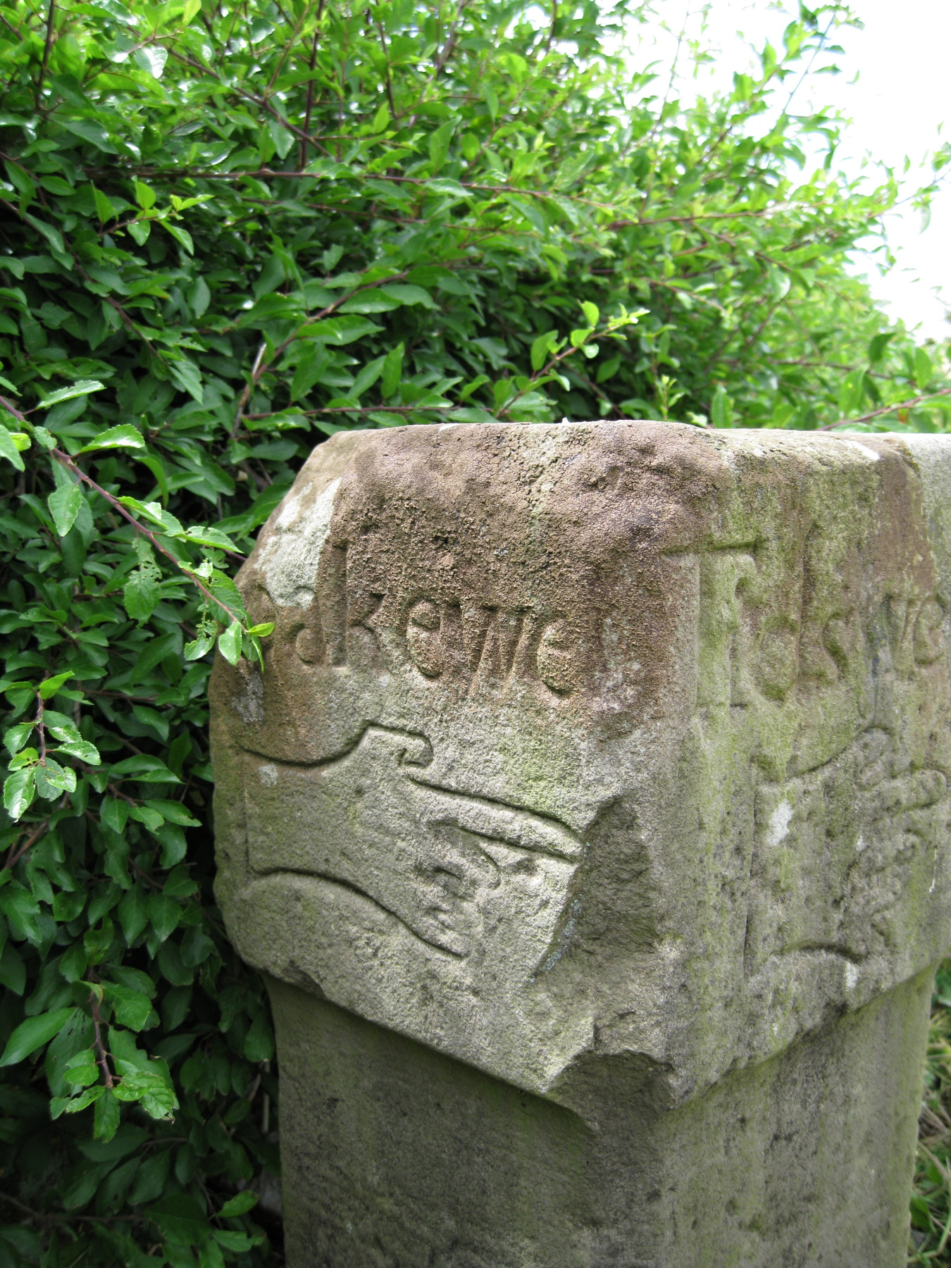
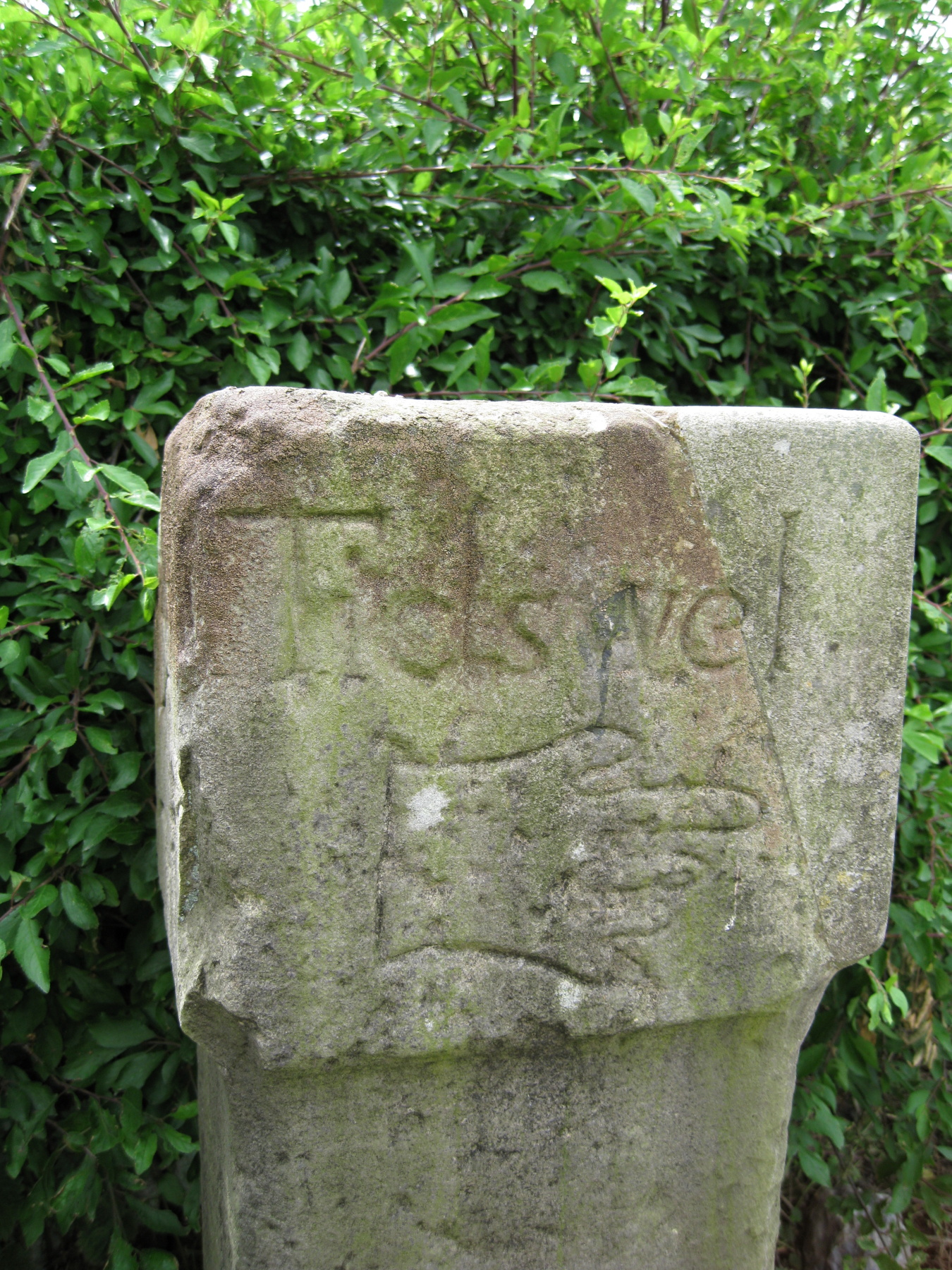
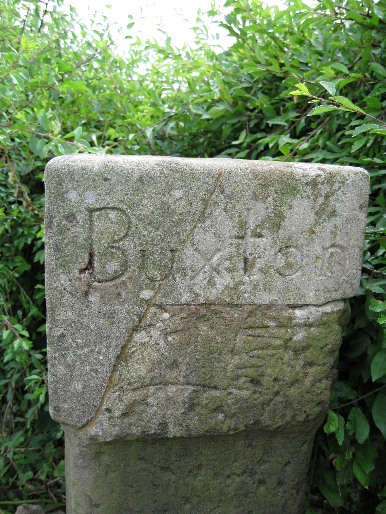
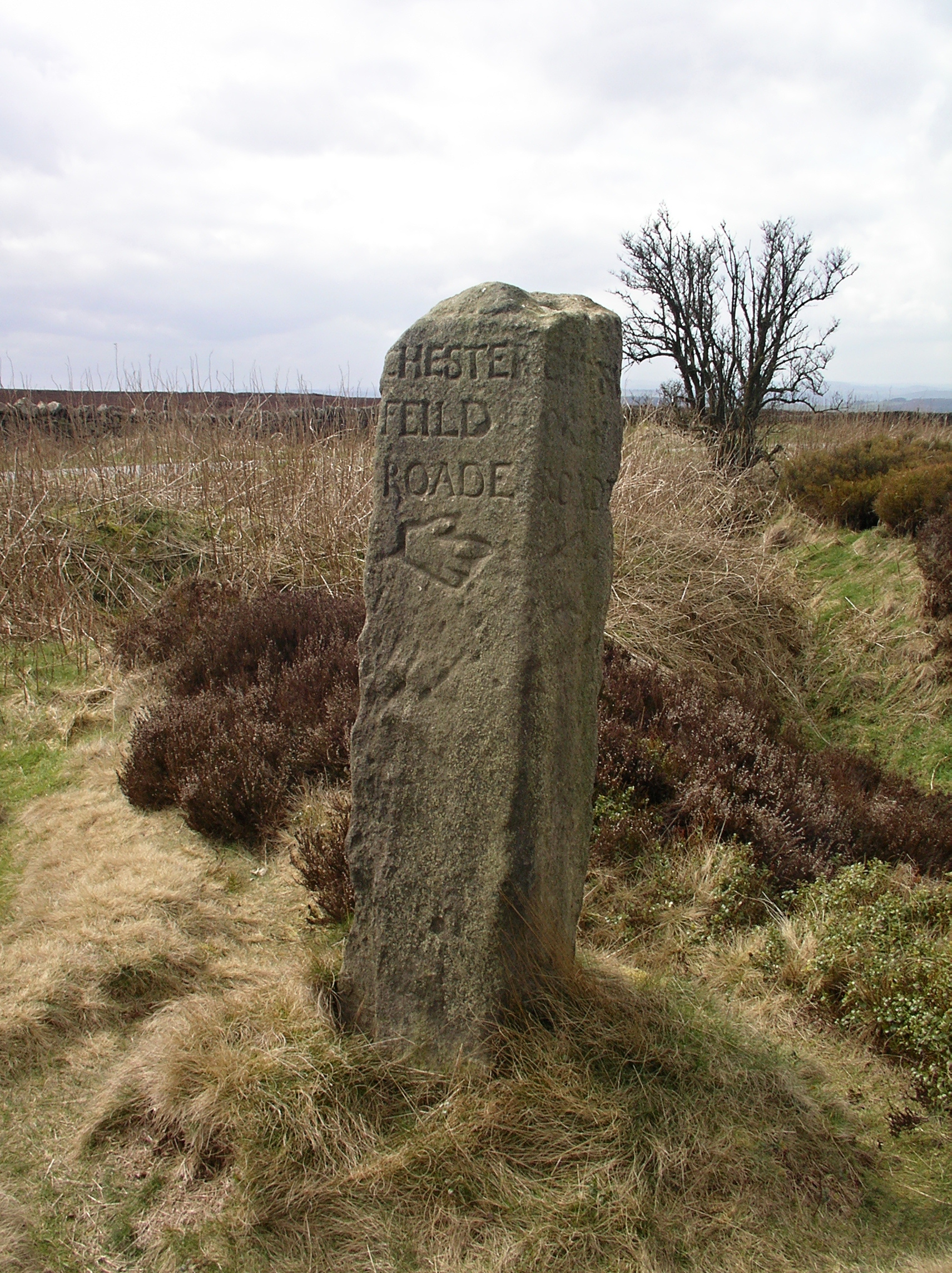
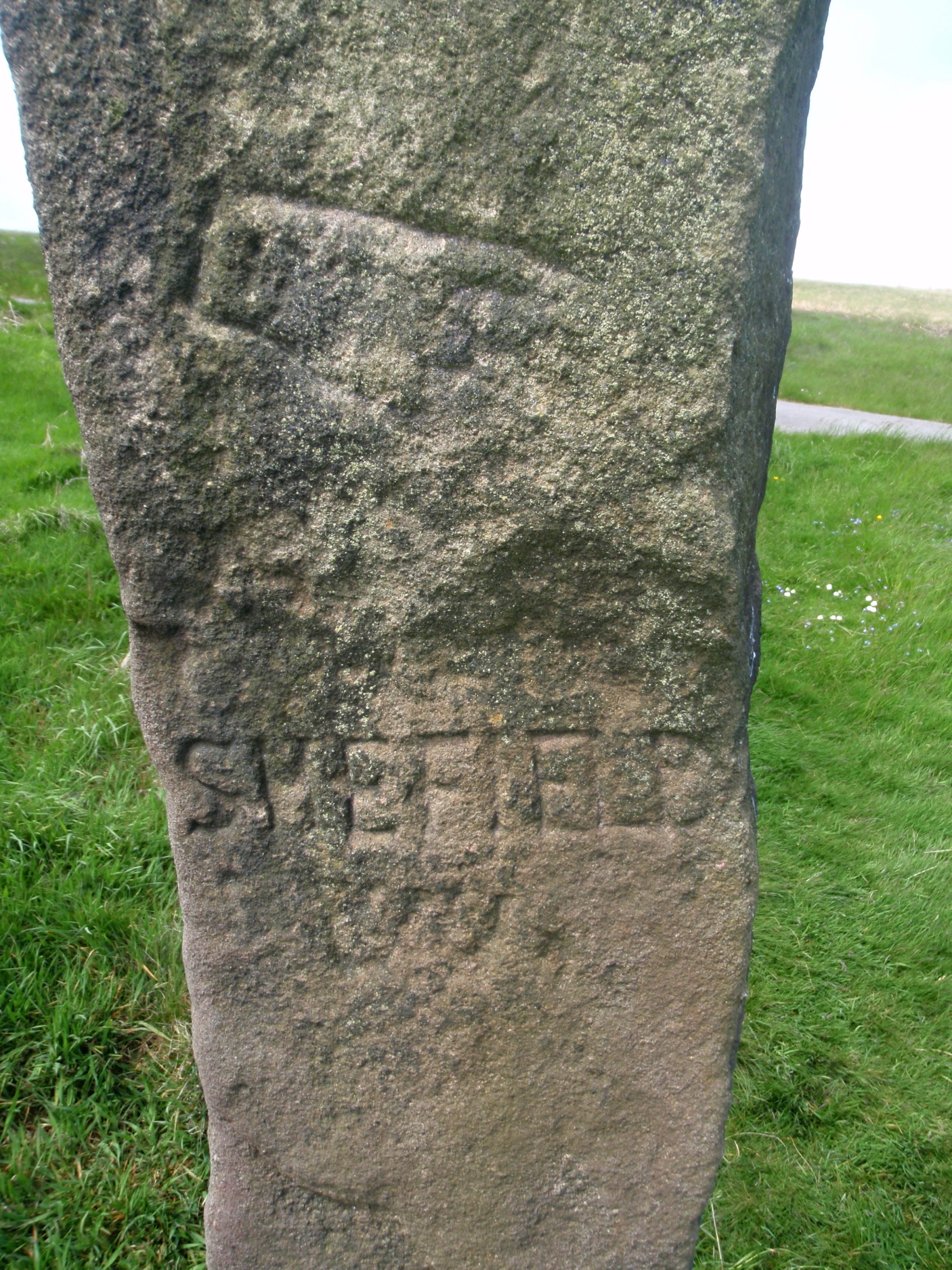
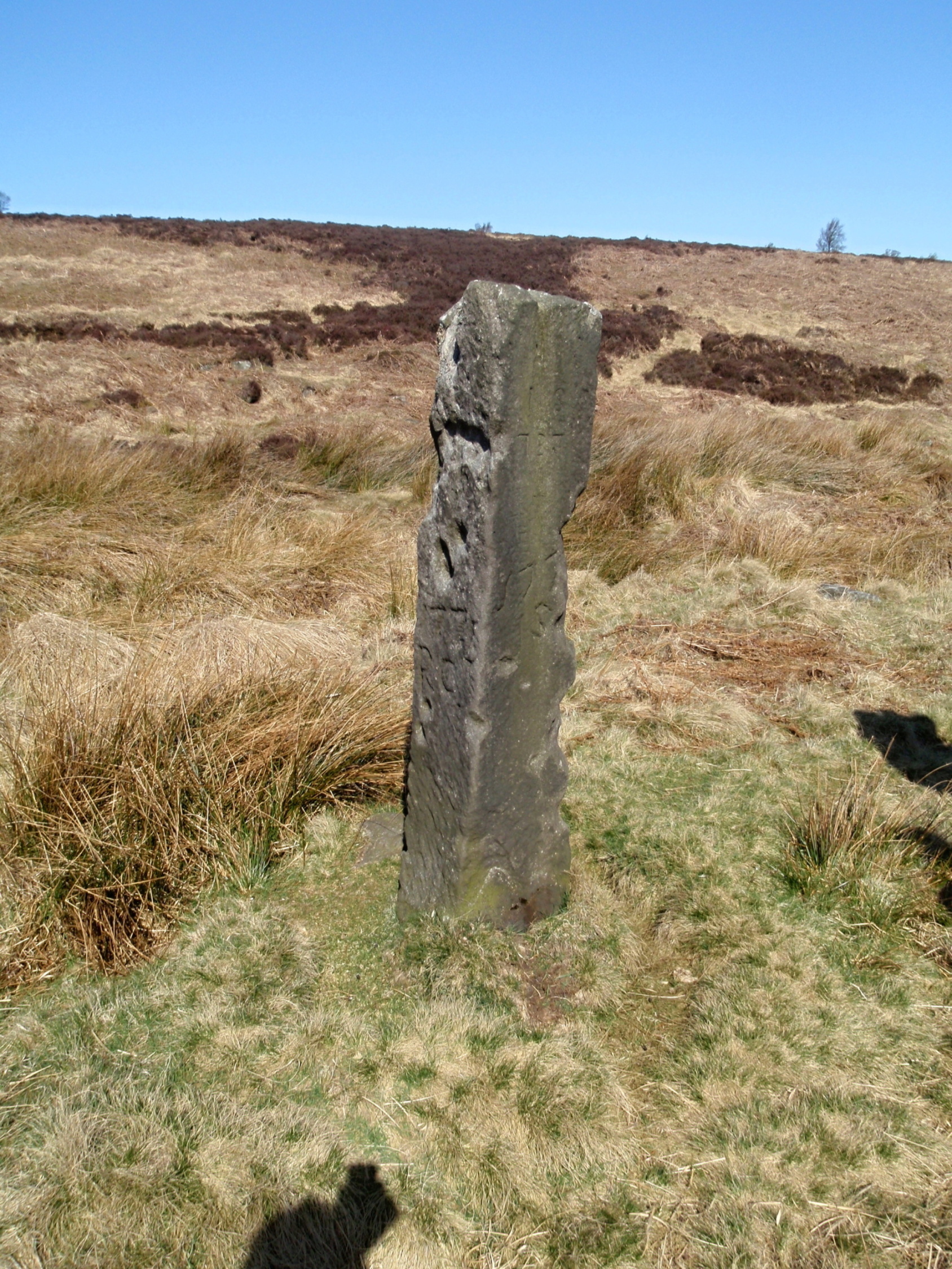
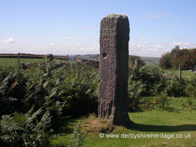
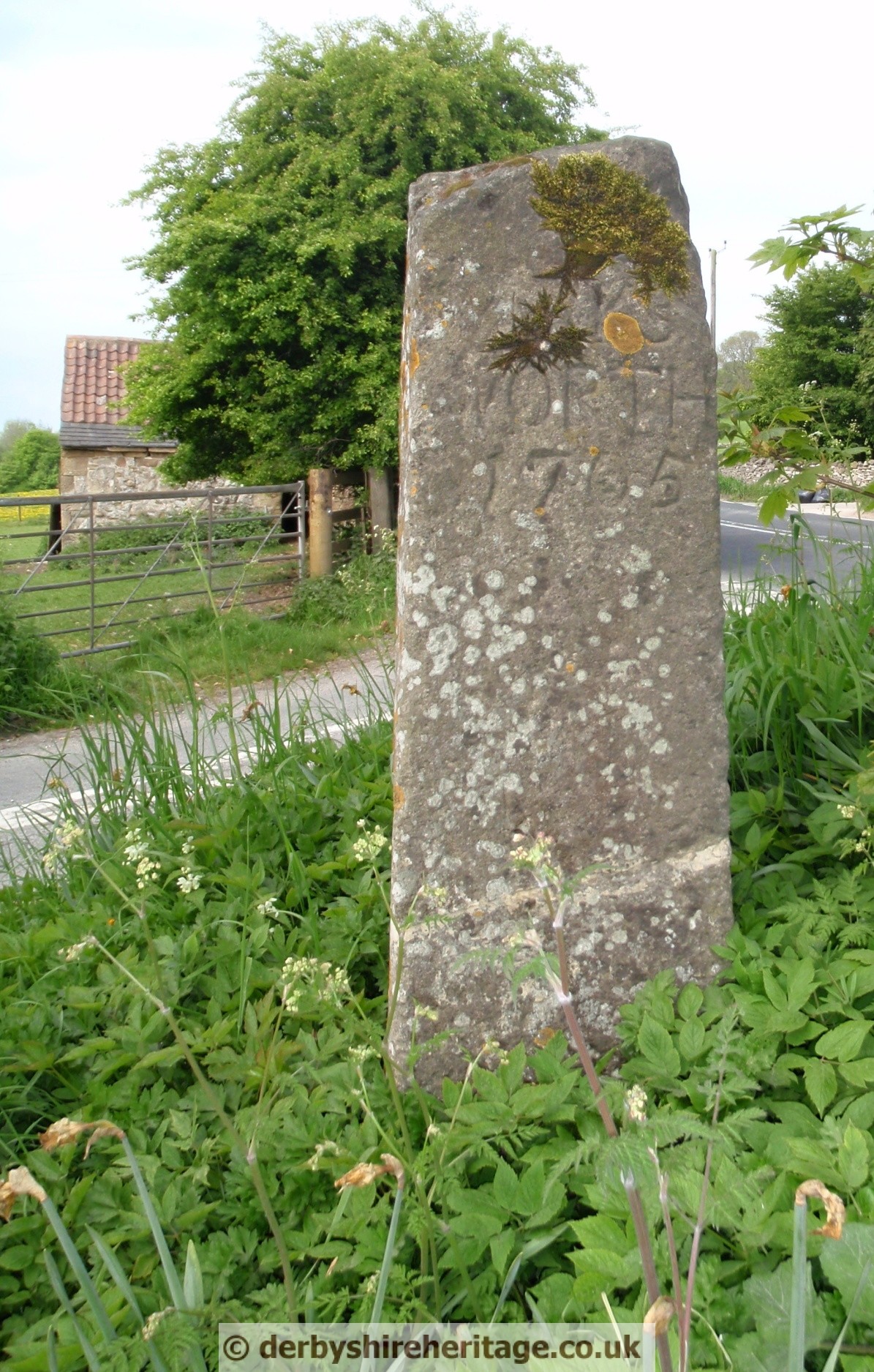
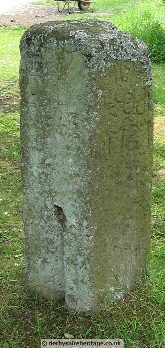
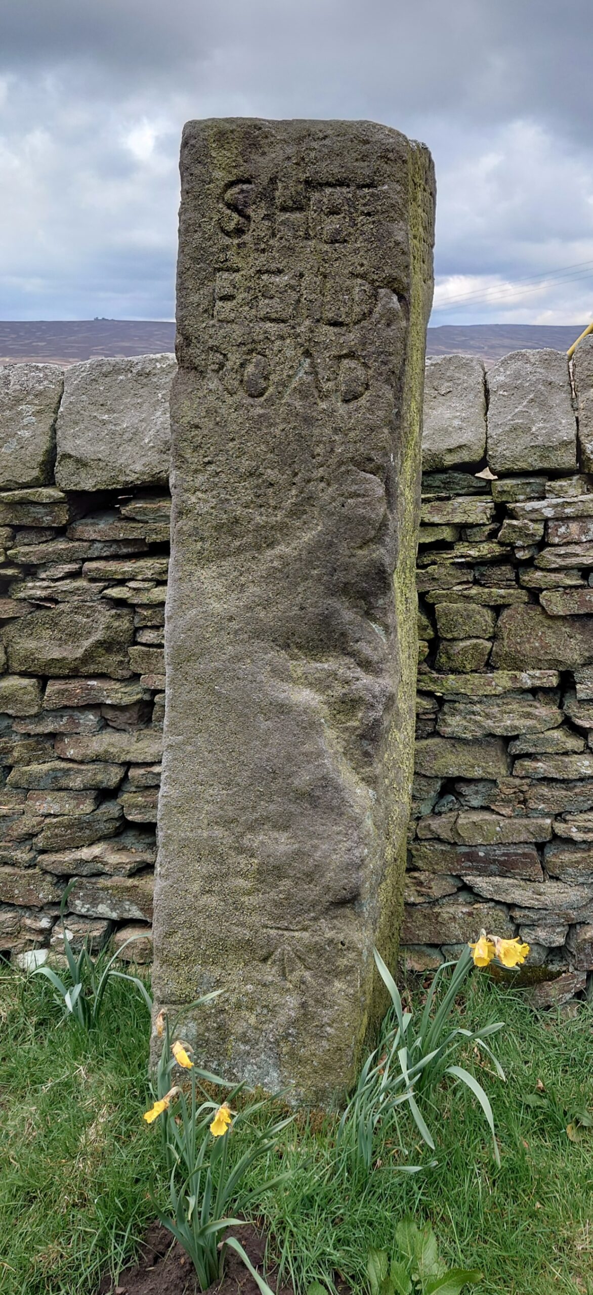
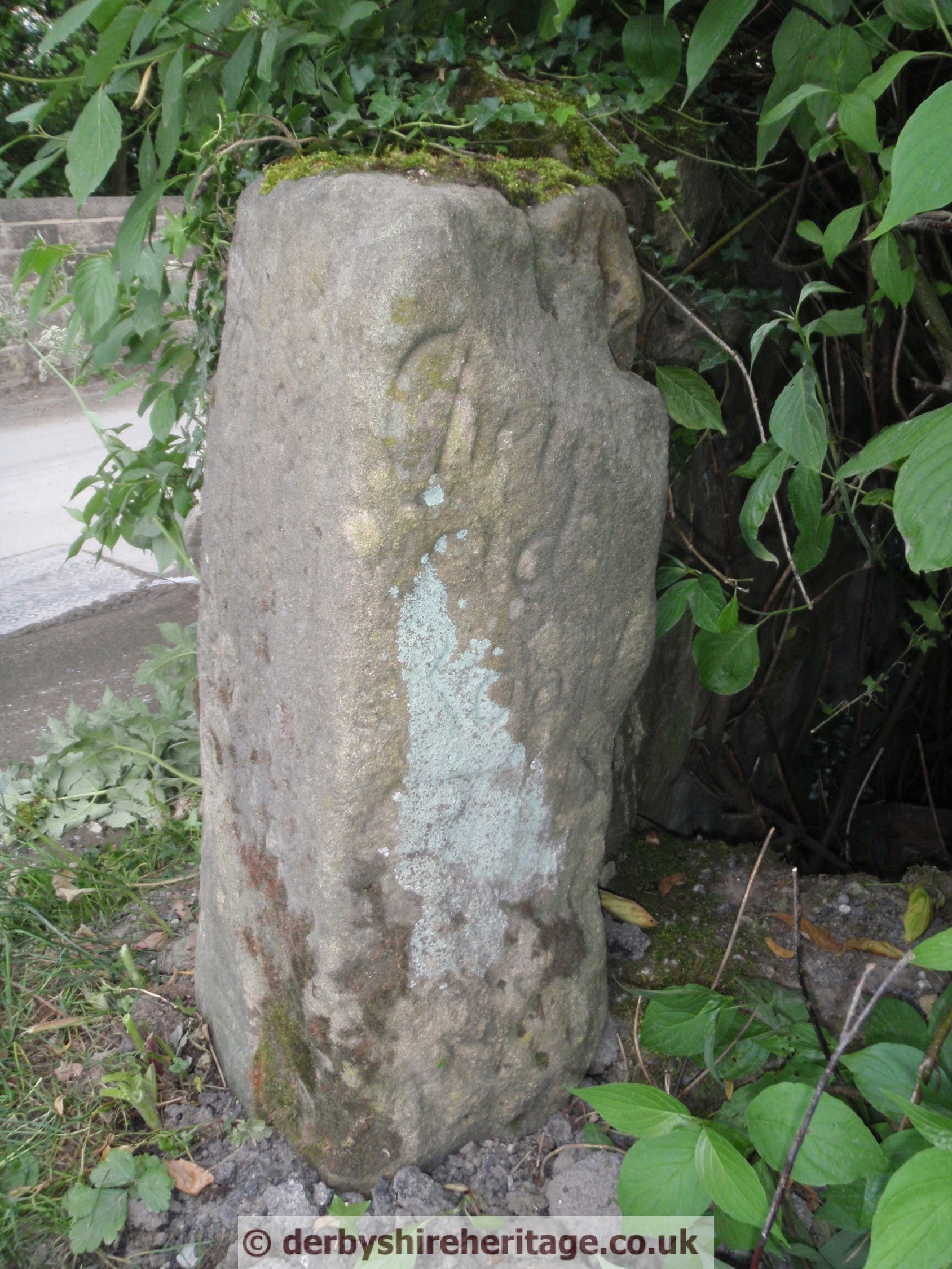
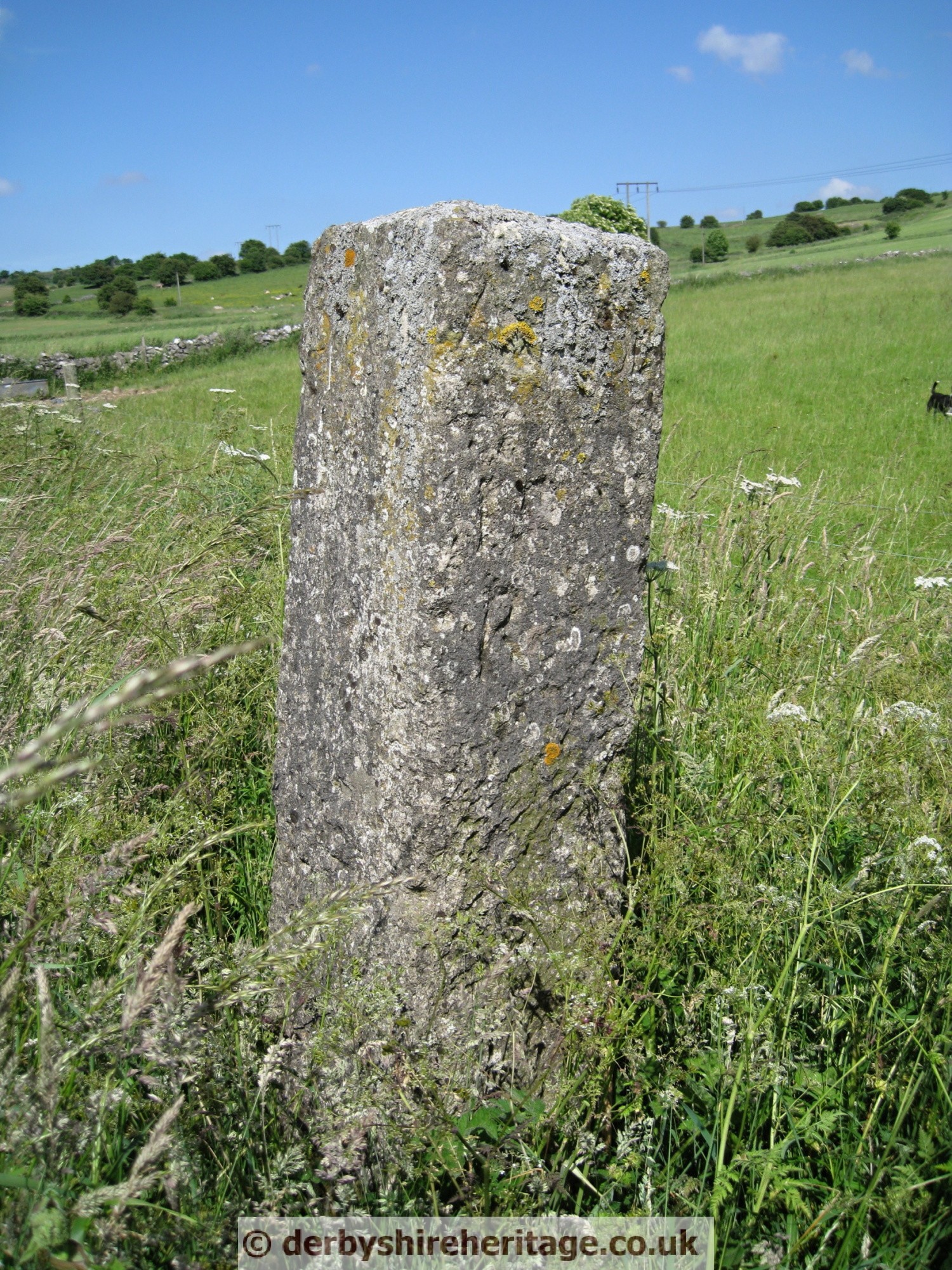
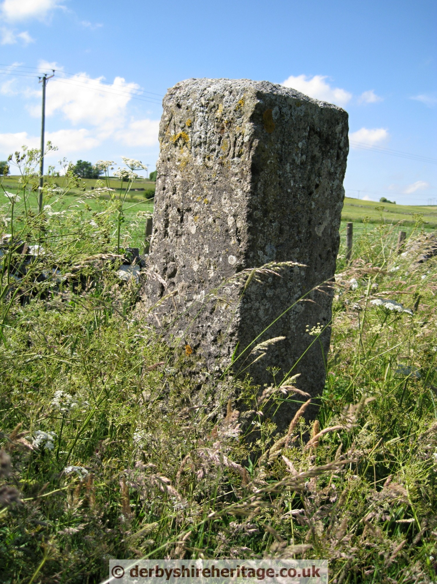
BAKEWELL, Crowhill Lane
This guide stoop is unusual and differs from other guide stoops in two ways.
It has five digits on the pointing hands as does the stoop on Back Lane near Two Dales.
Also the shaped head is unique.
It is reported that the head was badly damaged when the hedge was flailed in September 1999 and after some delay the inscription was restored in November 2000

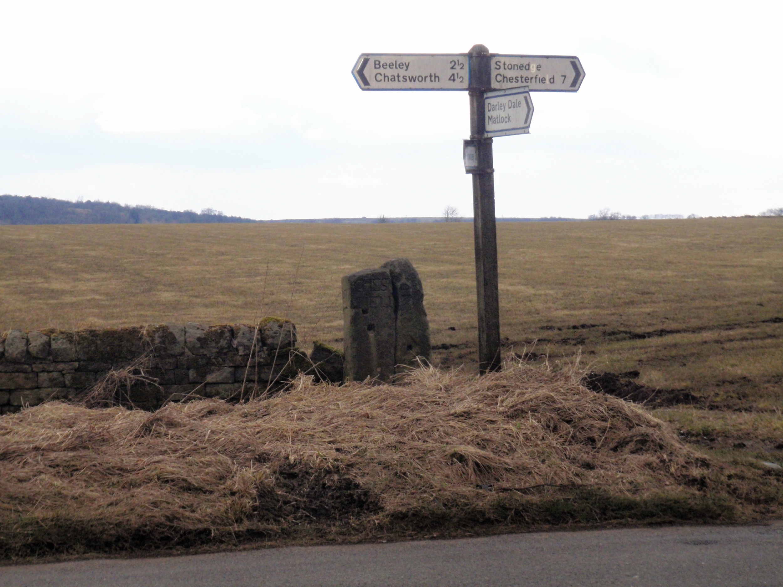
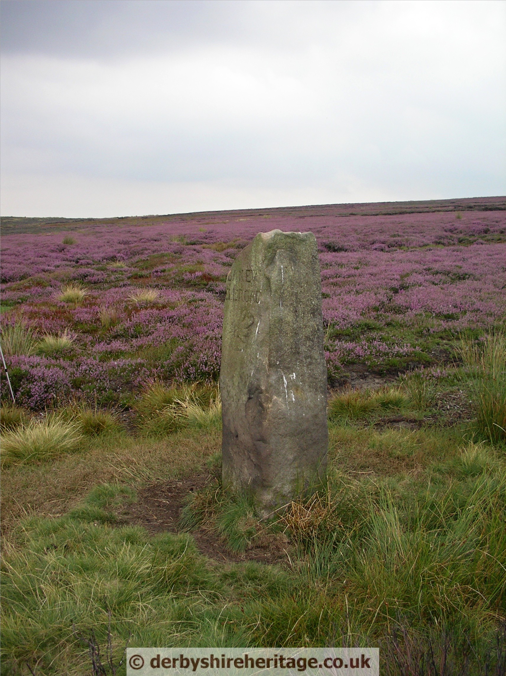
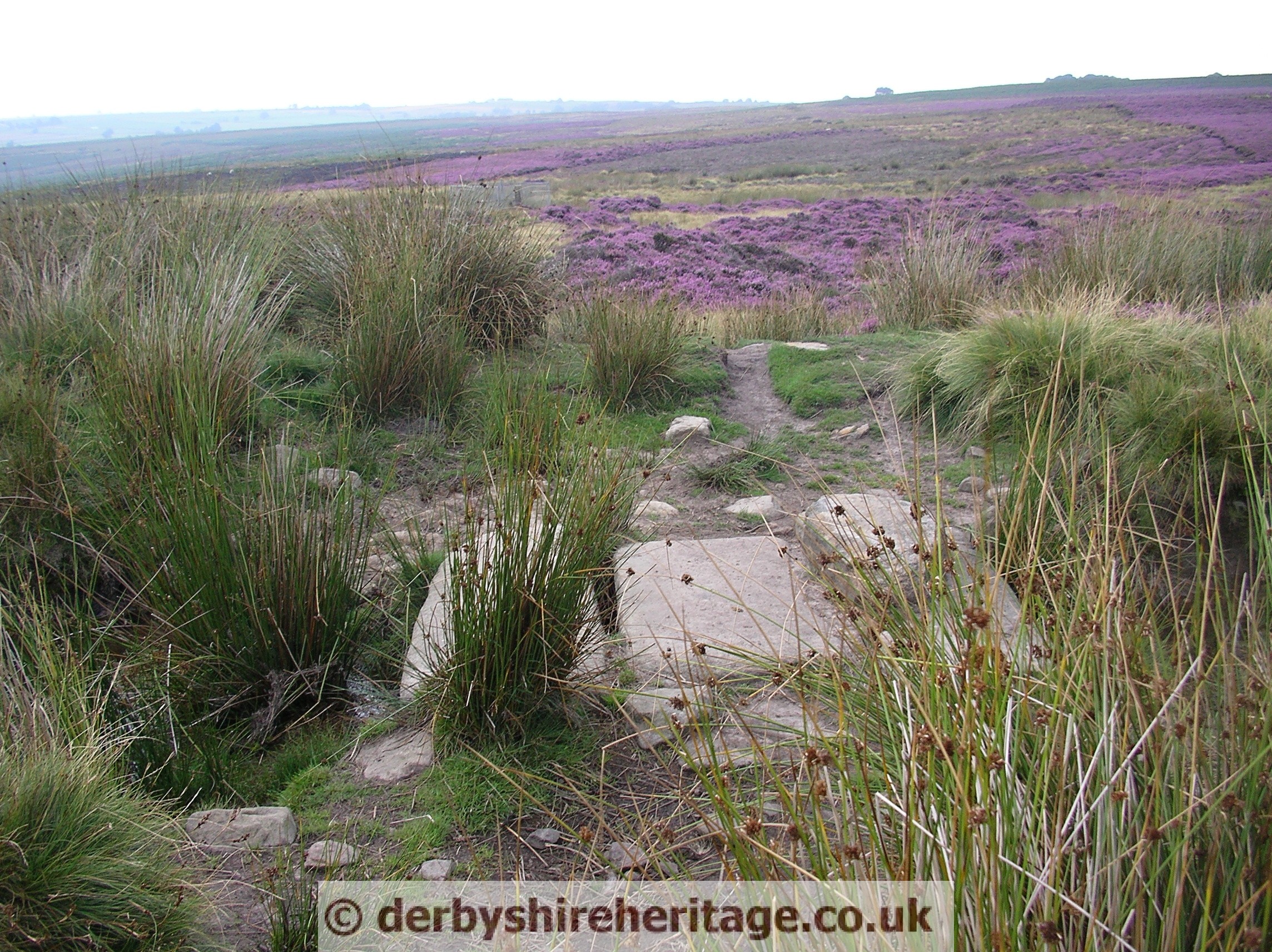
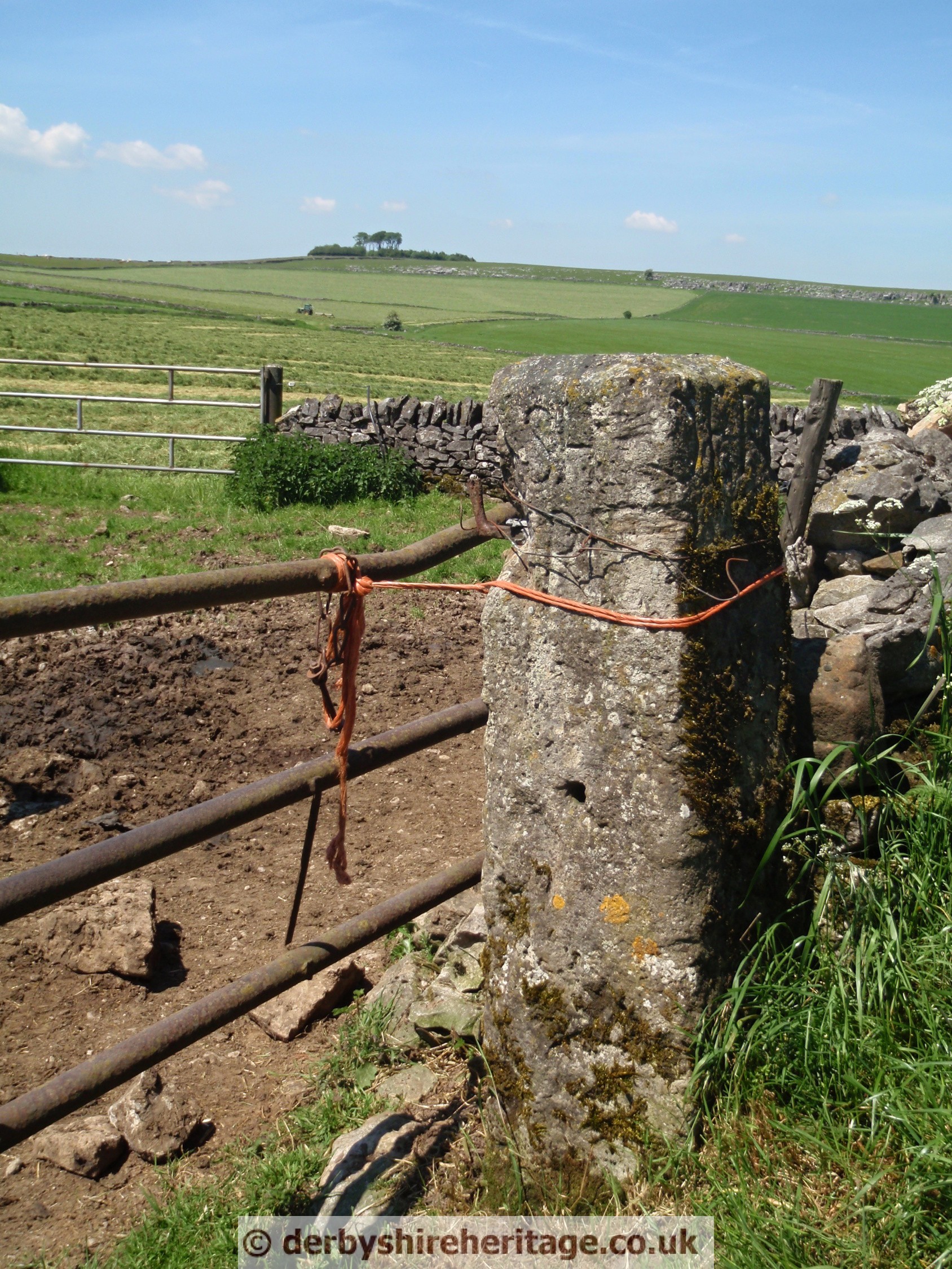
BEELEY MOOR – SK299680
This guide stoop is just North of the road from Wadshelf (or Holymoorside) to Beeley.
Like other guide stoops It was buried in 1940 as were many others at this time and re erected in 1995. Ron Entwistle and Jim McAllister of the Holymoorside History Society found the buried stoop by using a 1914 photograph, on old Ordnance Survey map and prodding with a steel rod until it was located lying 6 to 9 inches below ground.

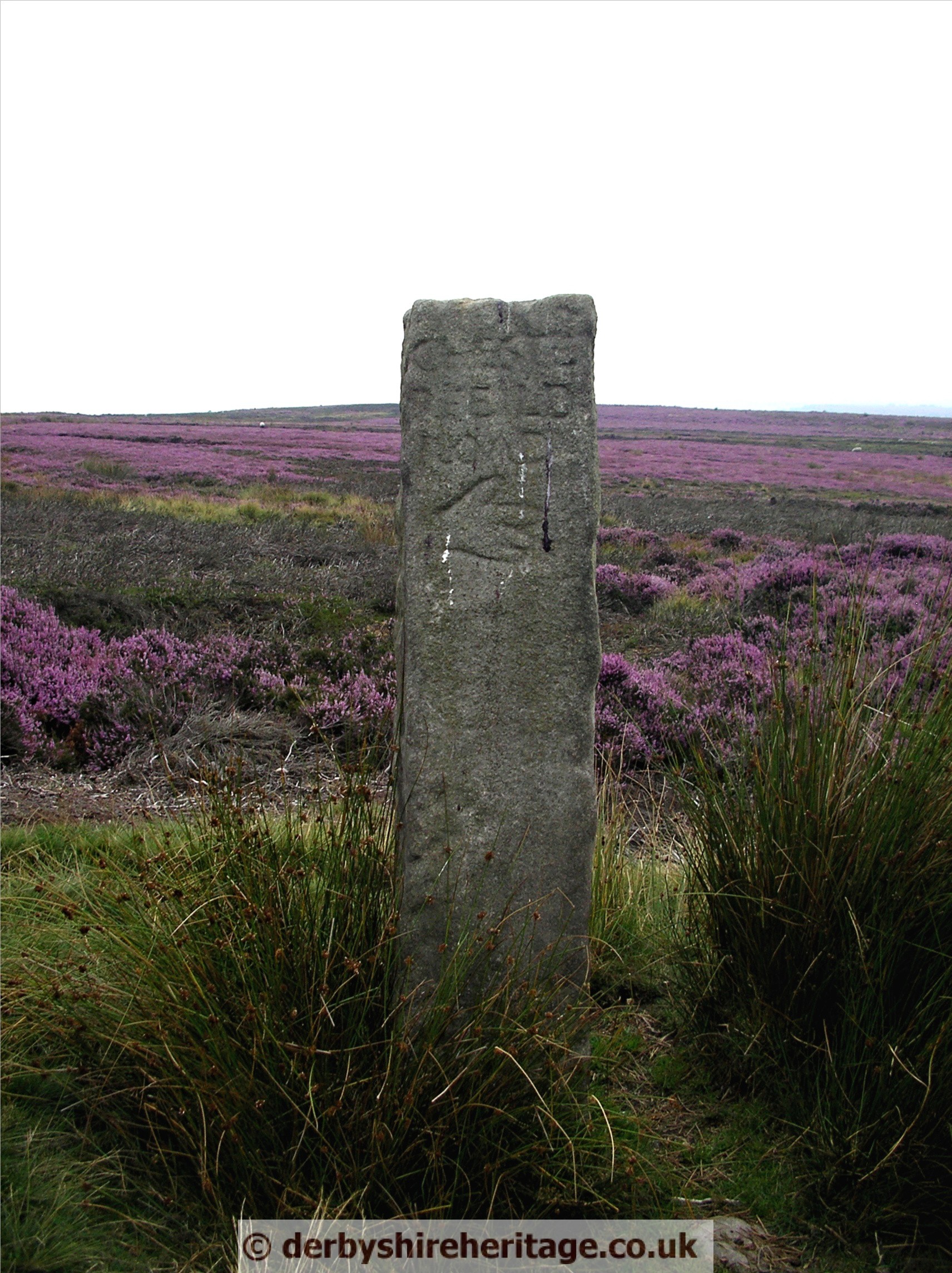
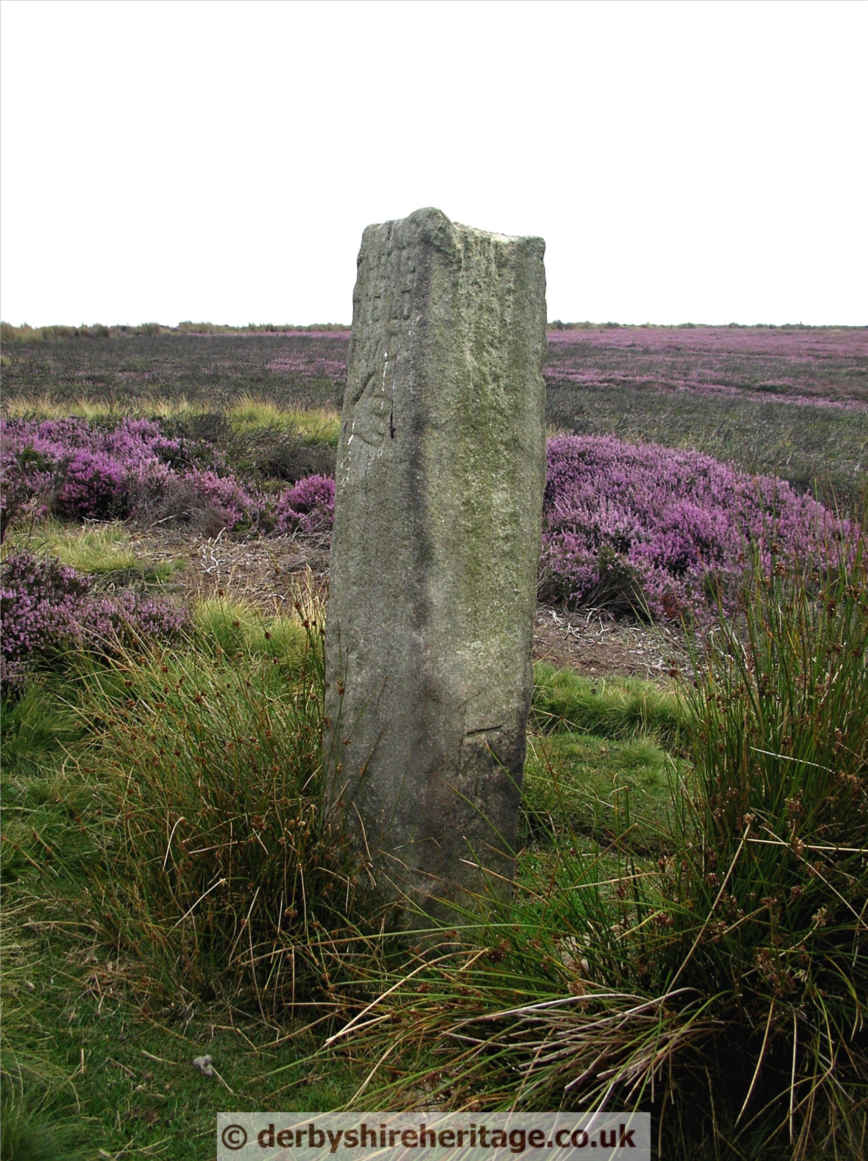
BEELEY MOOR – SK294674
This stoop is only a few yards NE of the road from Beeley to Screetham House farm. After Hell Bank Plantation, on the straight uphill section pass the first left turn and the guide stoop is before the next left turn.


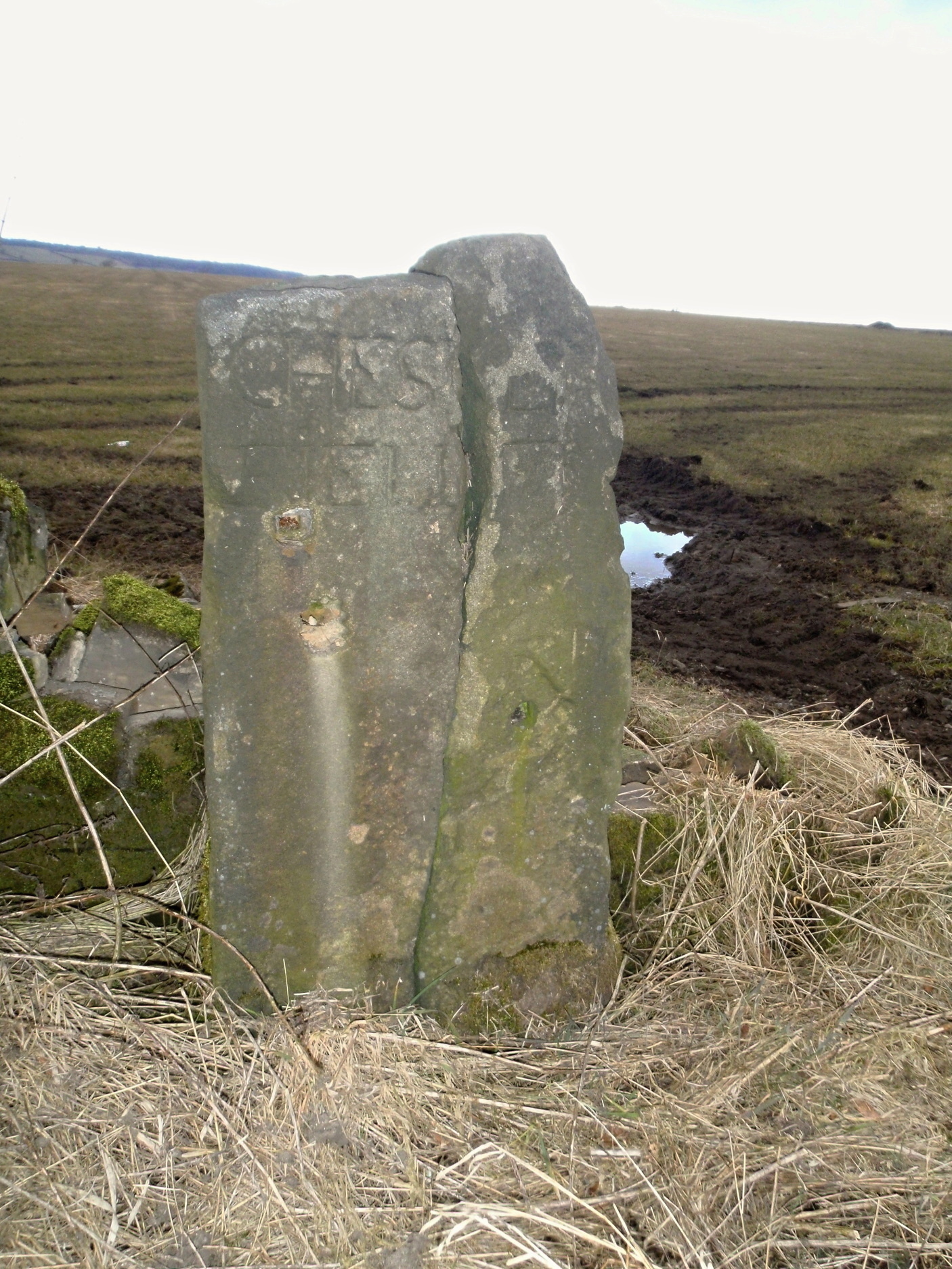
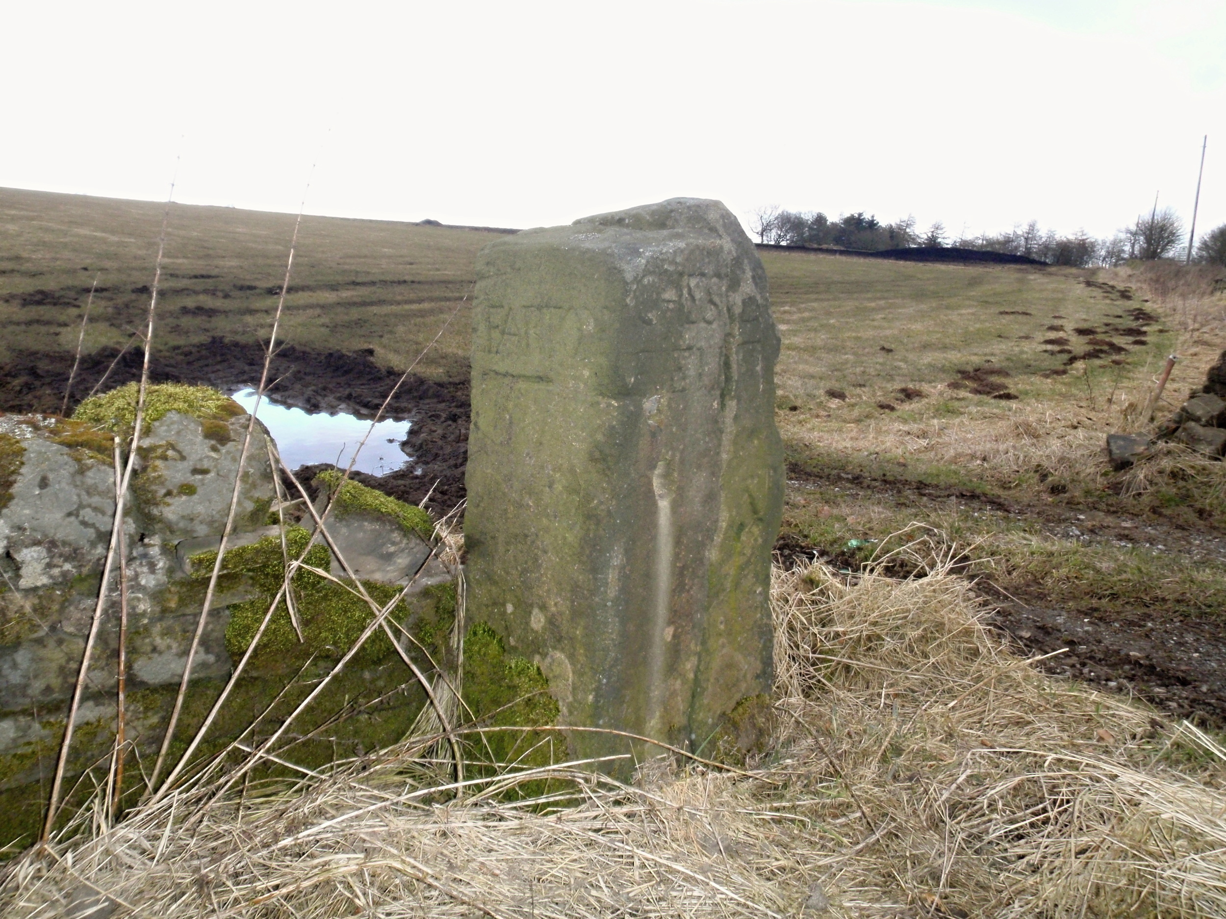
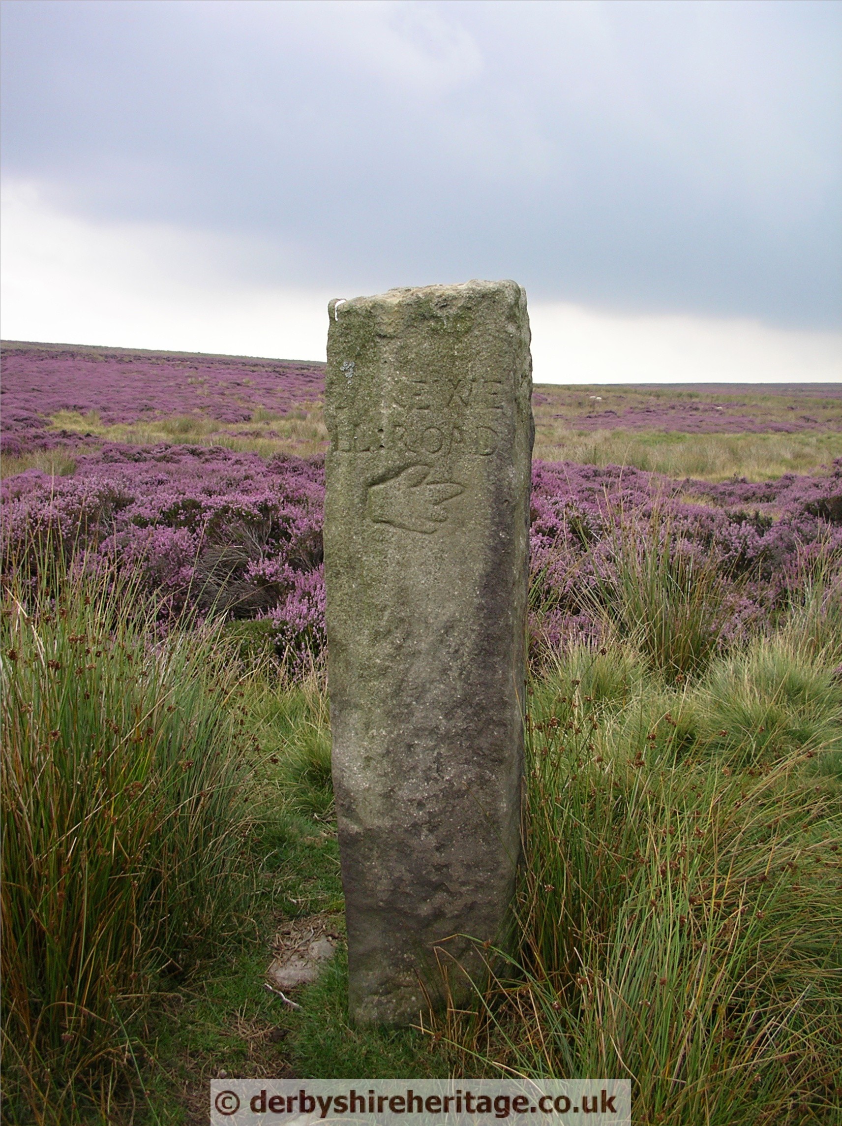
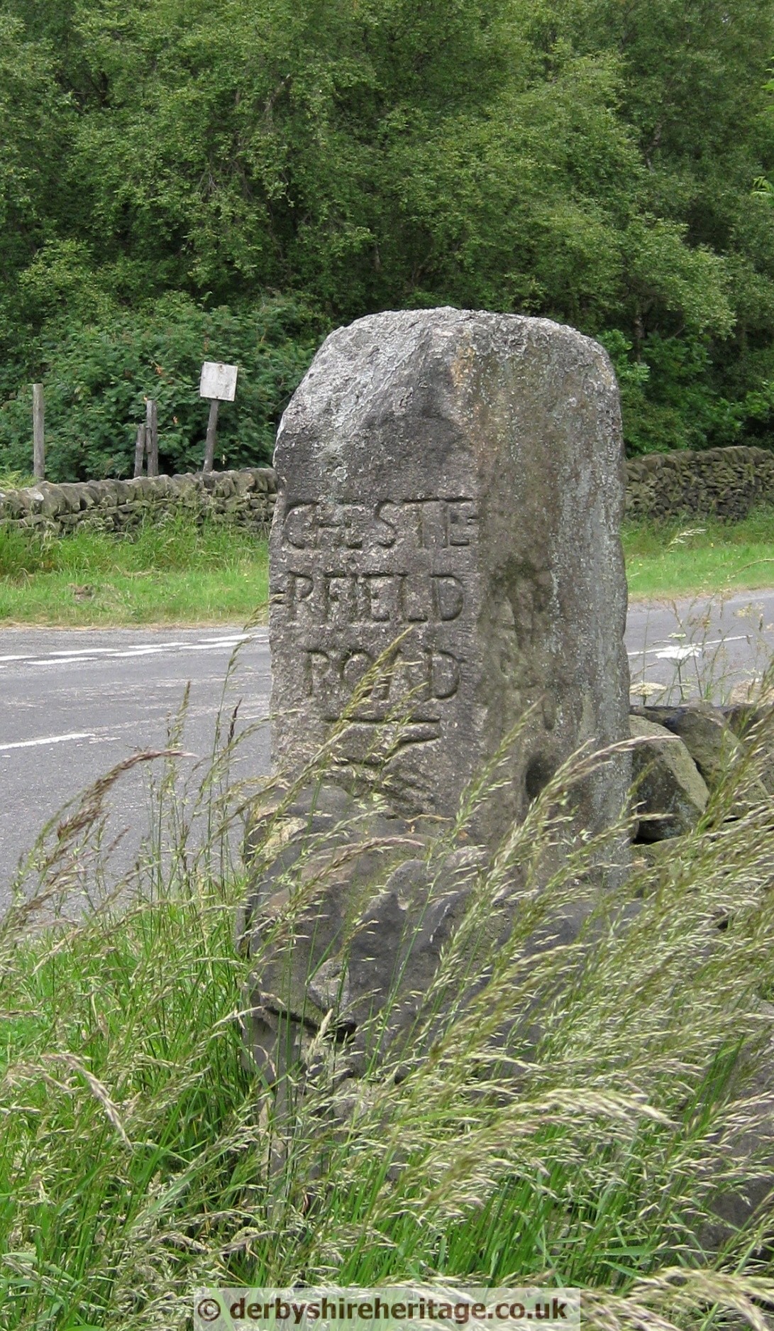
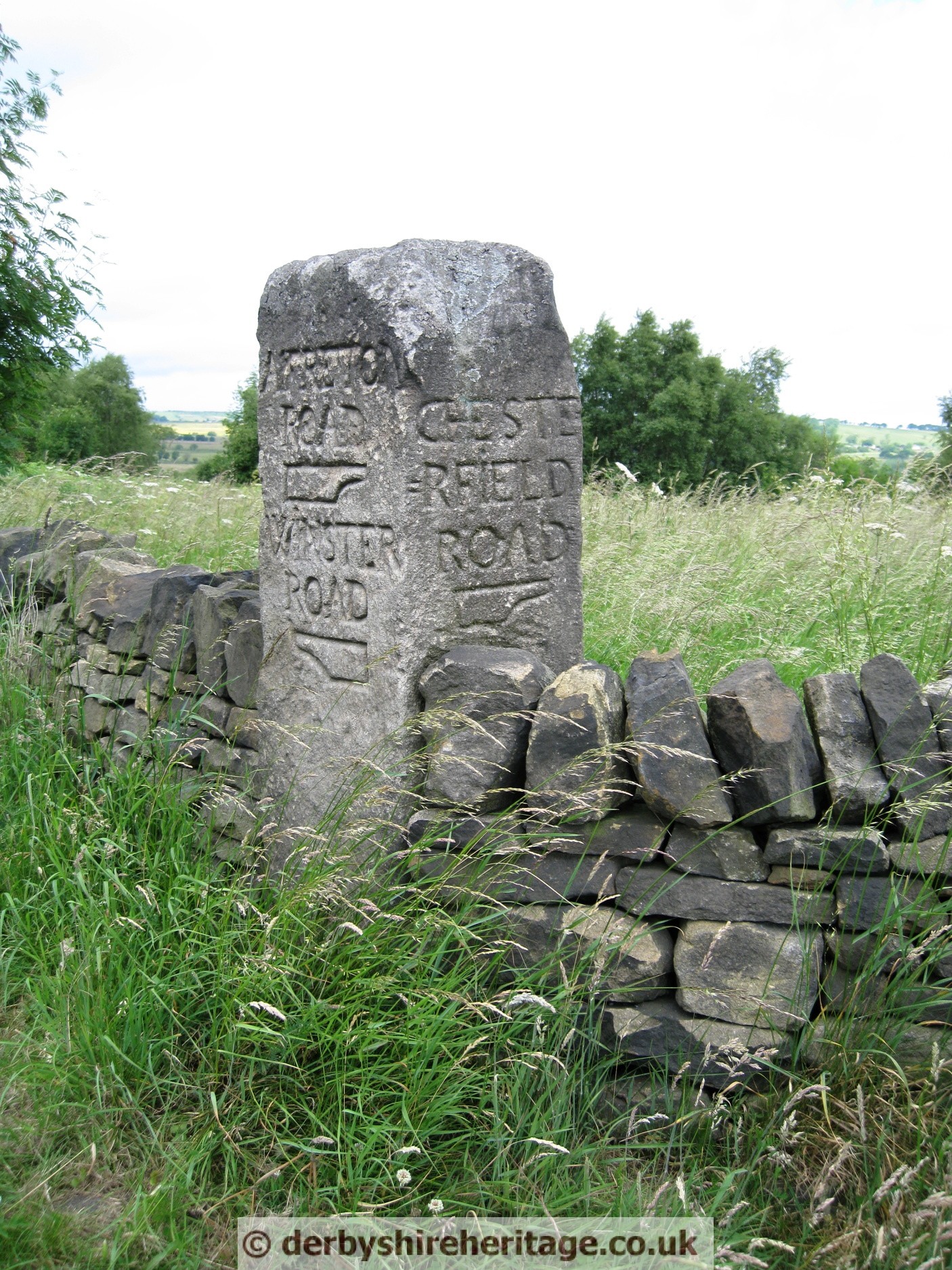
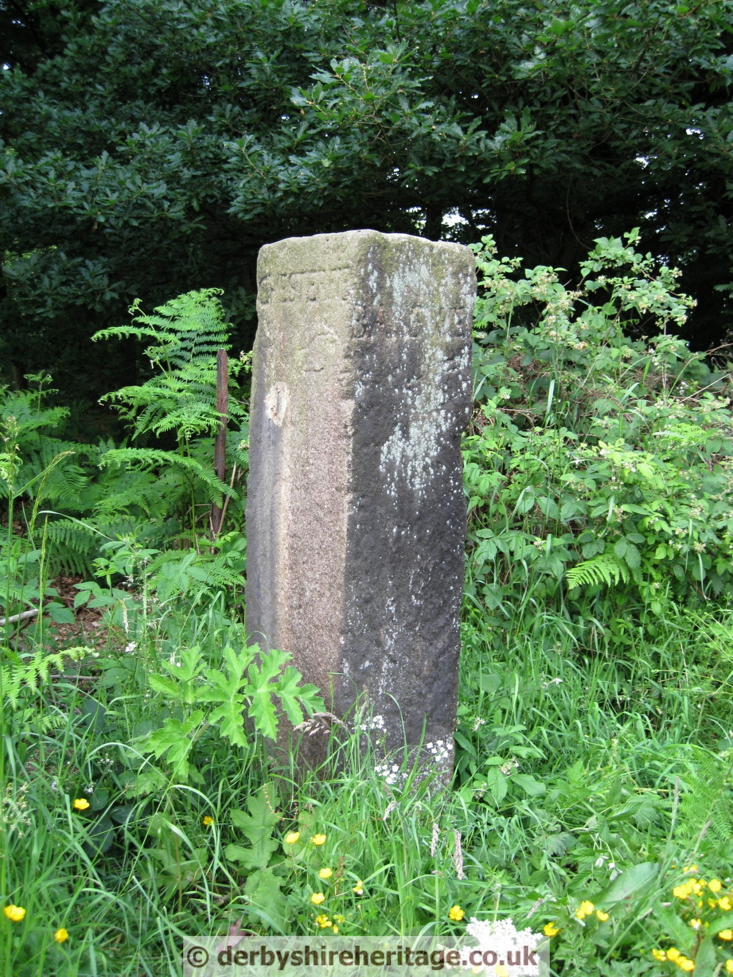
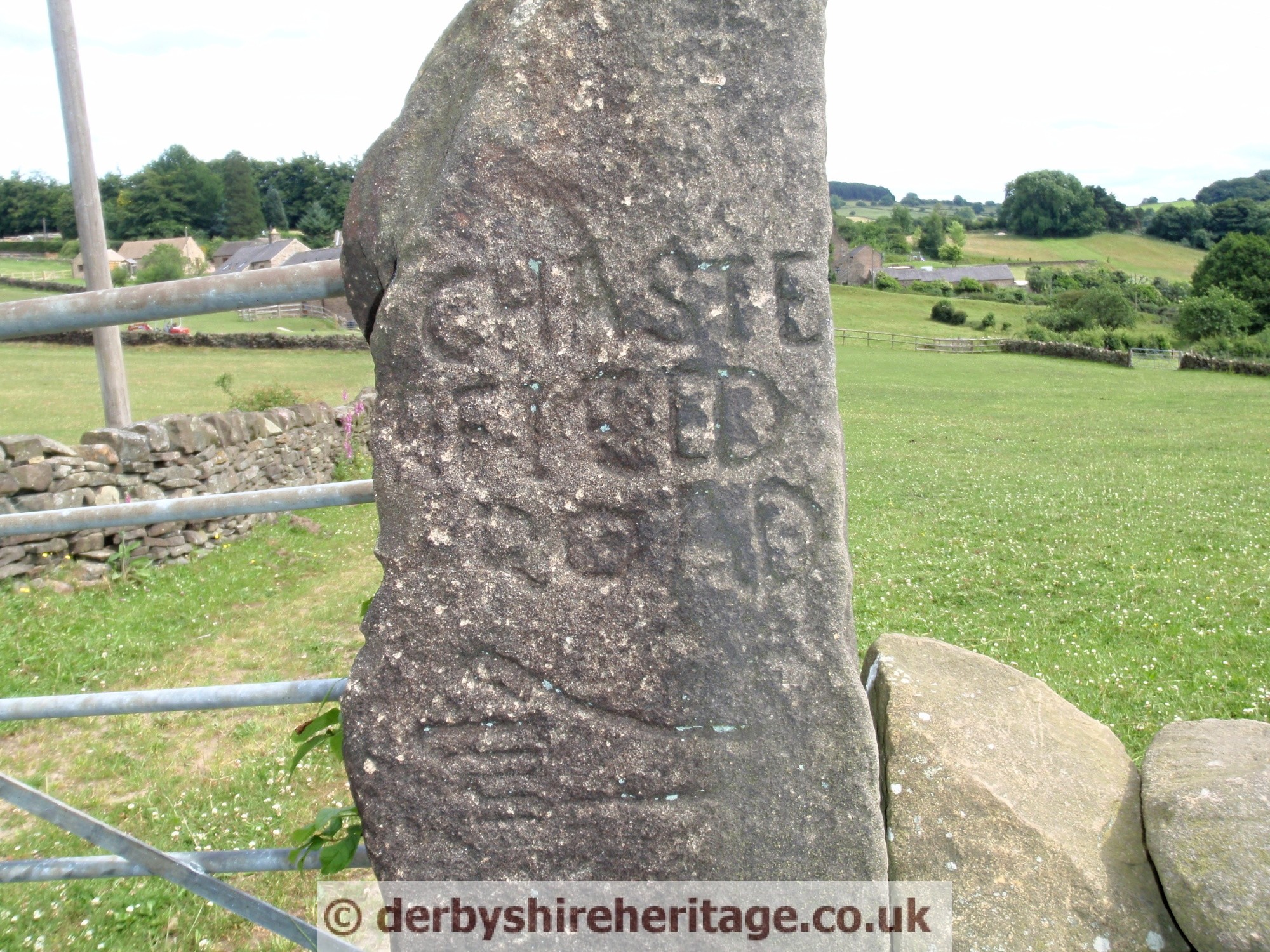
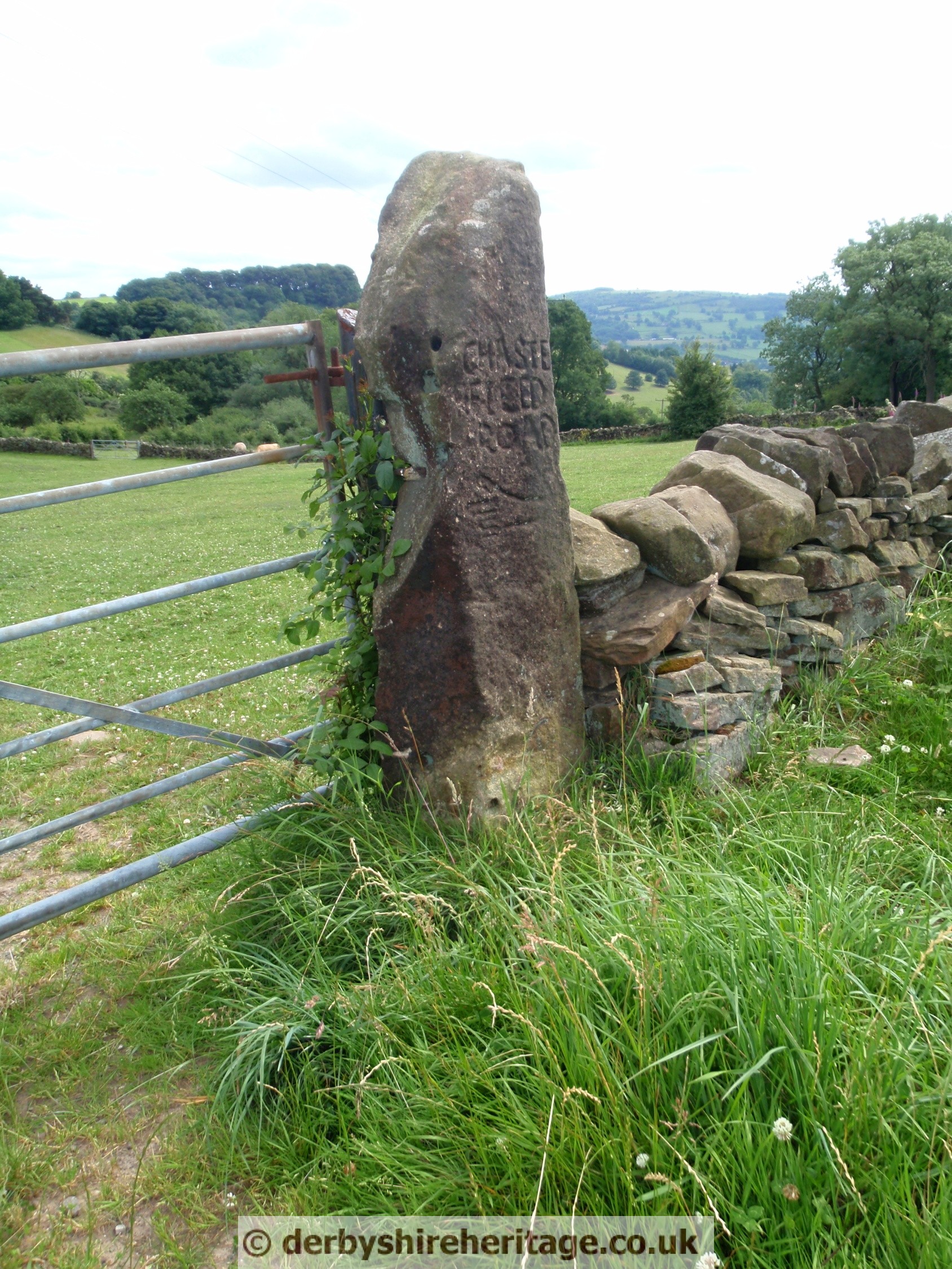
BEELEY MOOR, SCREETHAM HOUSE – SK304667
This guide stoop is to be found on the North side of the crossroads at Beeley and Screetham Lanes.
The West face shows the direction to ‘ALFARTON’ – Alfreton and the South face shows the direction to CHESTERFIELD. This face is split reason being the stoop was split vertically to make two gateposts but were moved and reassembled in October 2001.
Signs of it having been used as a gatepost can be seen on the East face which also bears a pointing hand and the date 1711.

BIG MOOR / Barbrook reservoir – SK287773
Easily accessible, stands west of the A621 by the Barbrook reservoir service road.
It is east of Barbrook III stone circle
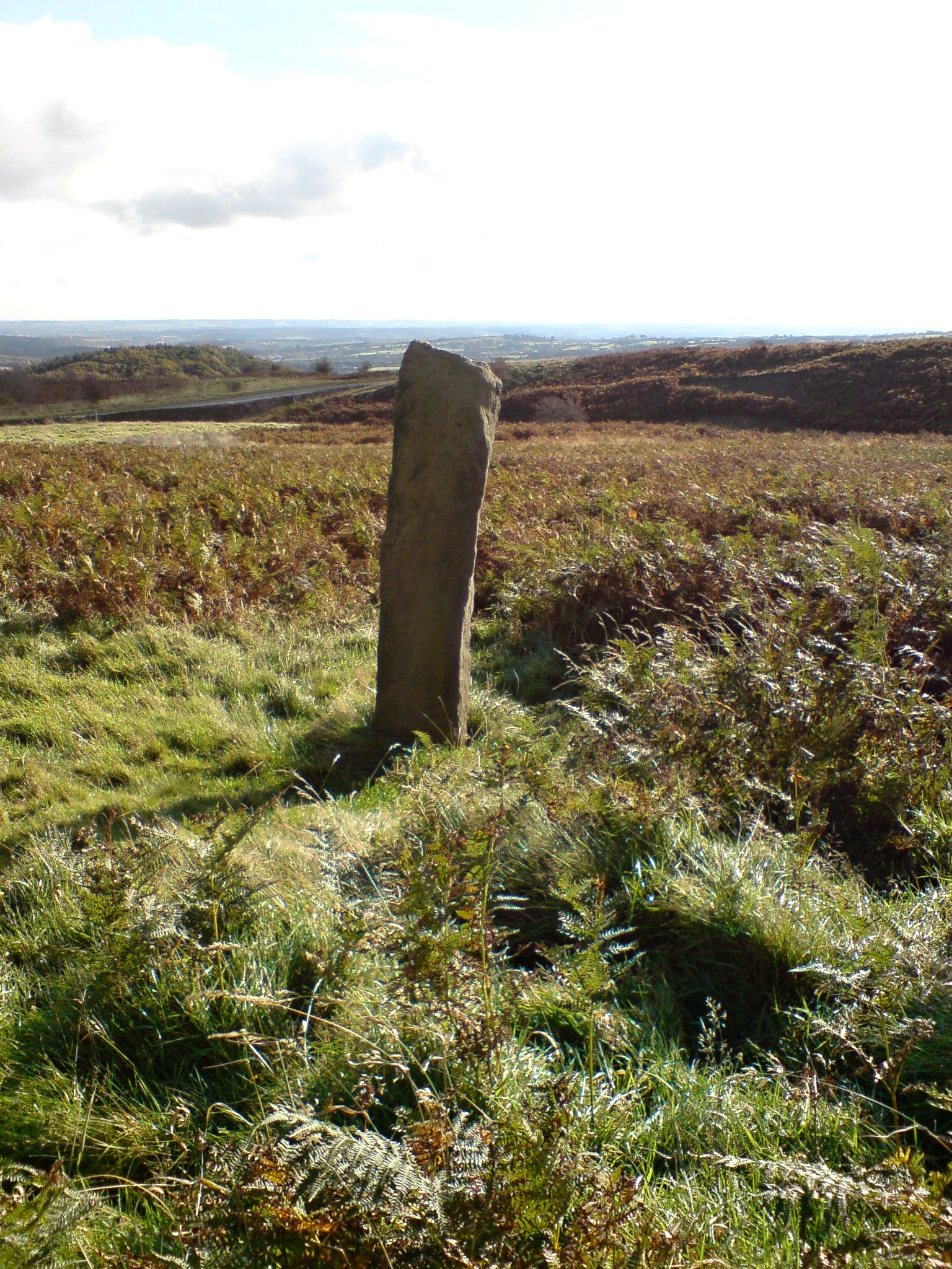
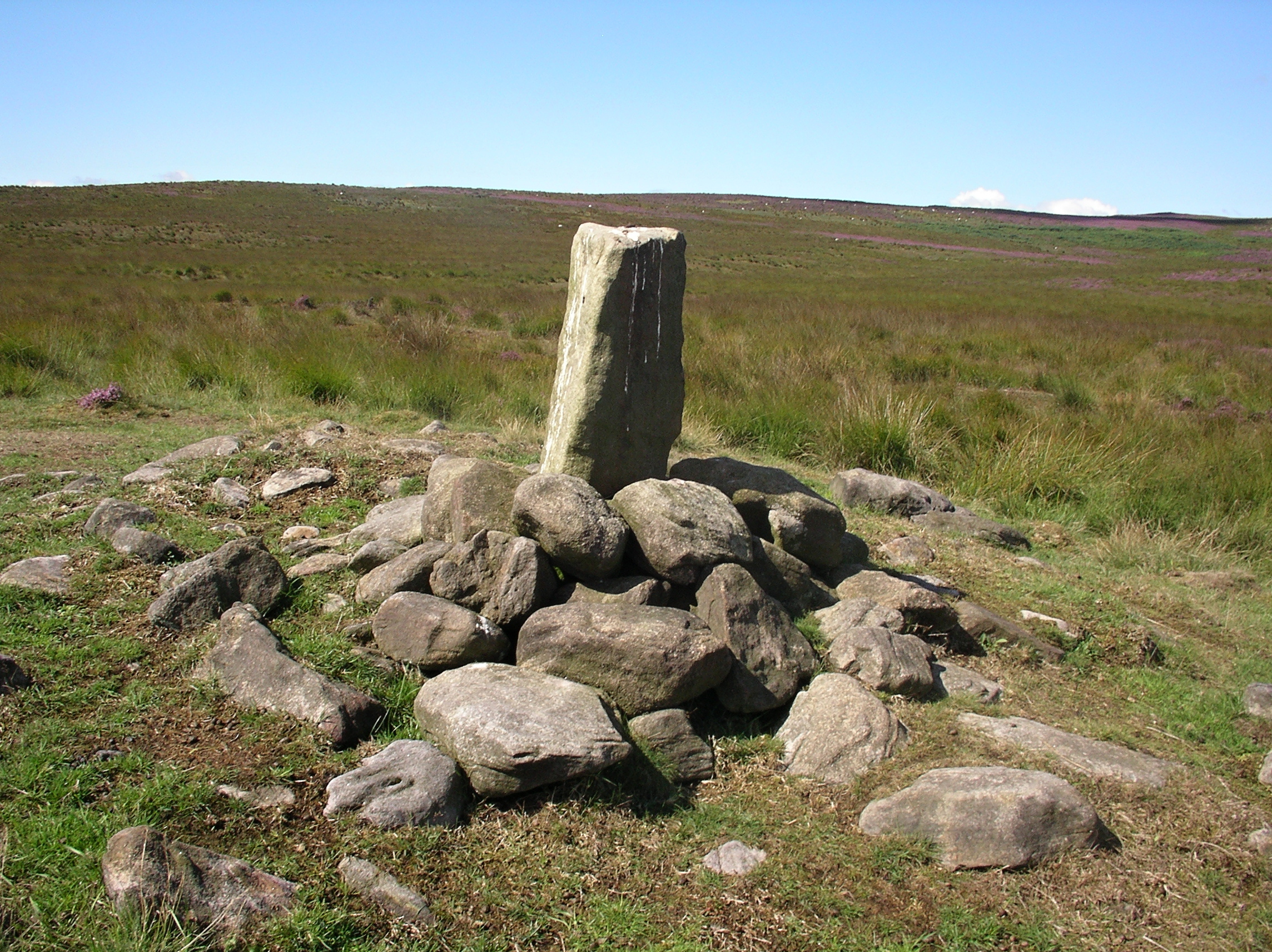
BIG MOOR – SK274757
This stoop is awkward and is probably one of the hardest of the guide stoops to get to but is probably best approached by going west from Barbrook II stone circle, carefully descending to Bar Brook, there is a large boulder in the water and this is useful for getting across and then ascending to the stoop.
Damaged by gunfire during Second World War military training. The top has been blown off and shell damage can be seen on it.
Bakewell and Sheffield are shown on the same face when they obviously lie in opposite directions.
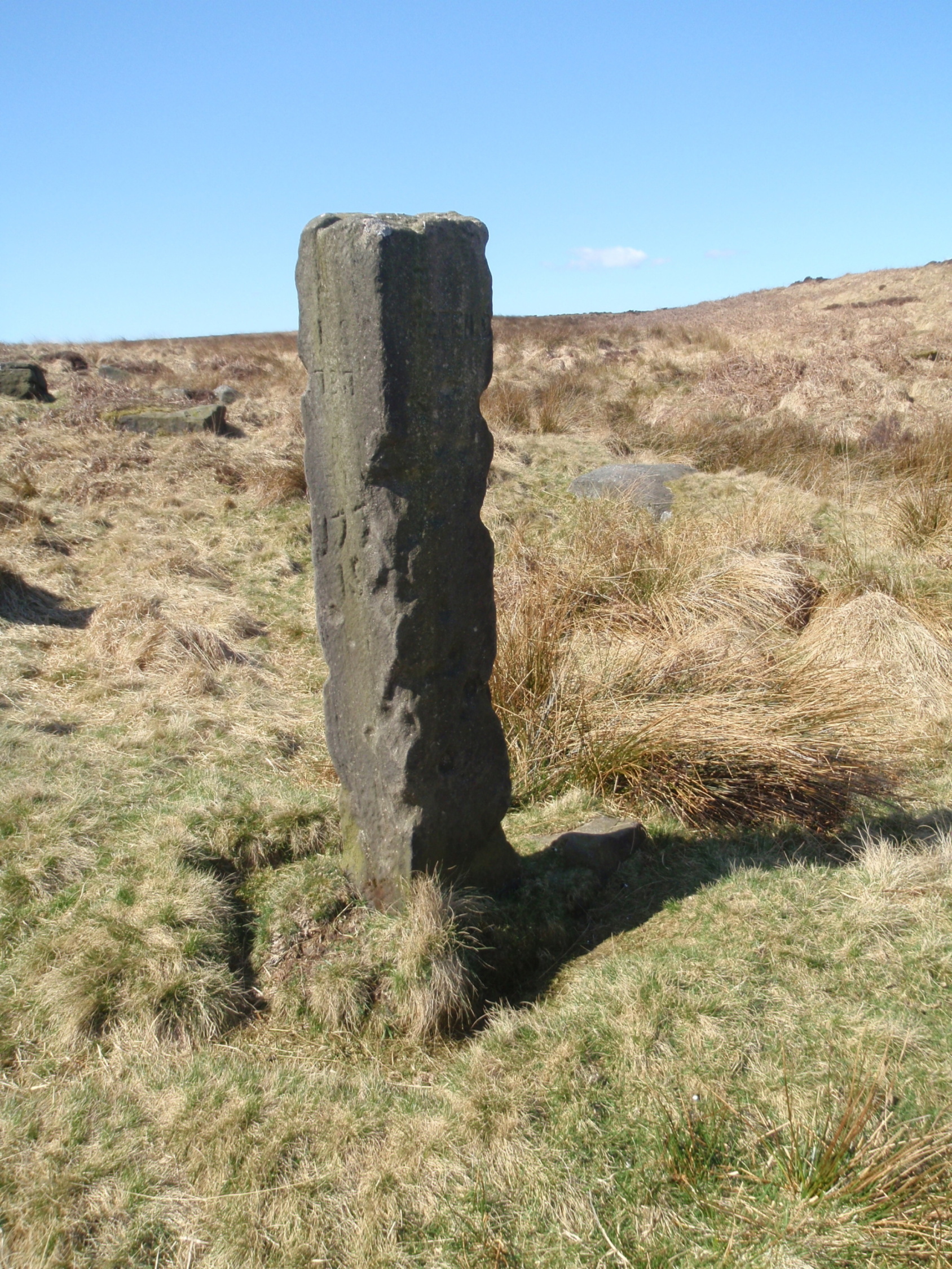
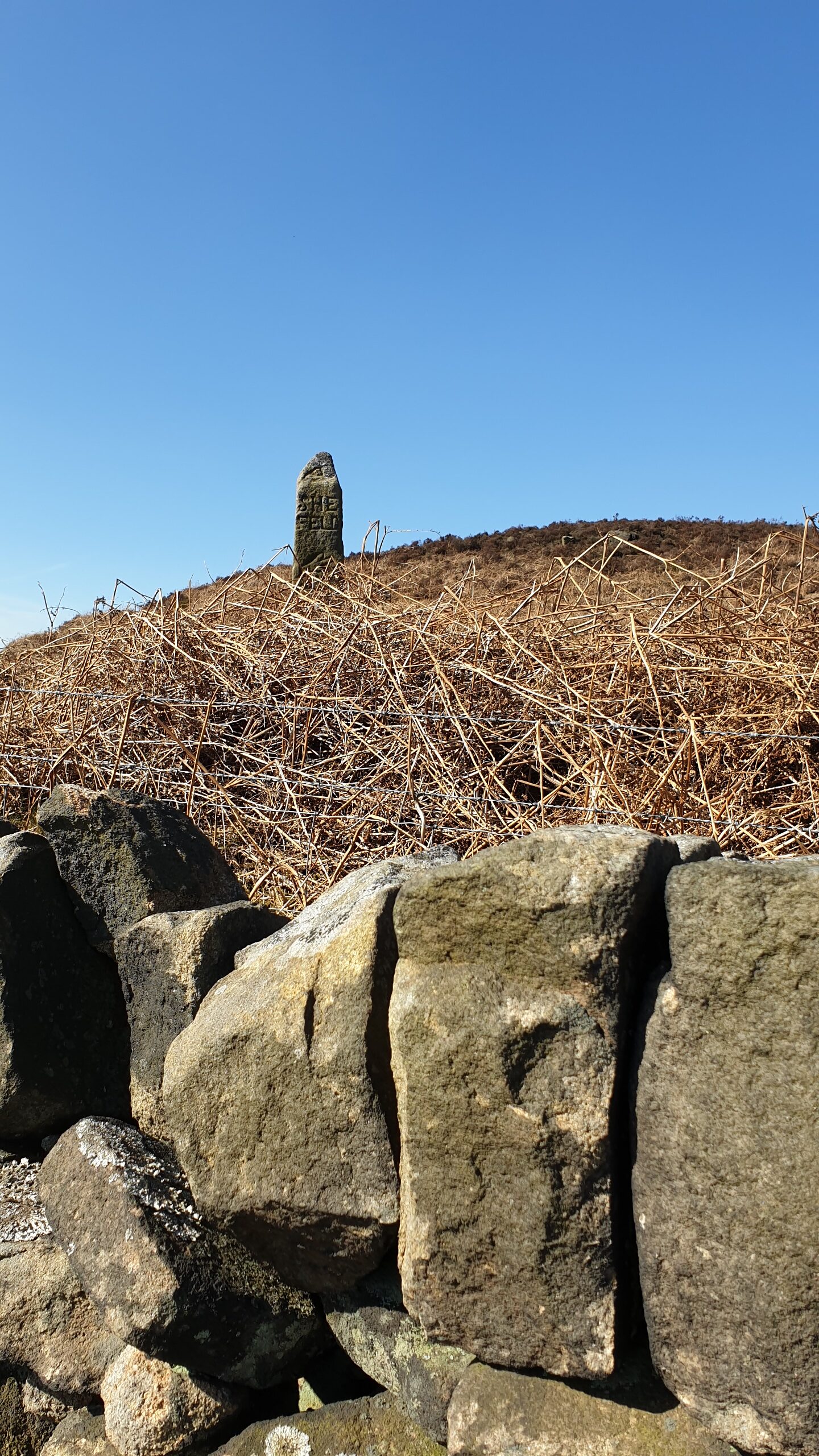
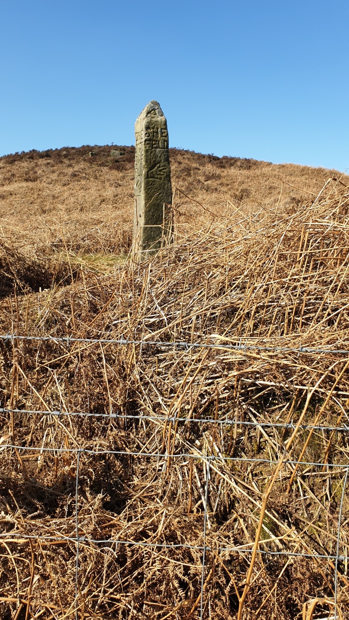
BIG MOOR/WHITE EDGE – SK265775
about 50 yards East of the footpath
CURBAR GAP – SK262764
East of the foot path – this stoop is badly weathered and the inscriptions are difficult (if not impossible to decipher). Fortunately a record of previous observations exists. The South face with the direction to Chesterfield shows the name of the Parish Surveyor for Curbar. Unusually it is not just his initials (which was the norm) but gives his full name as Humphrey Gregory.

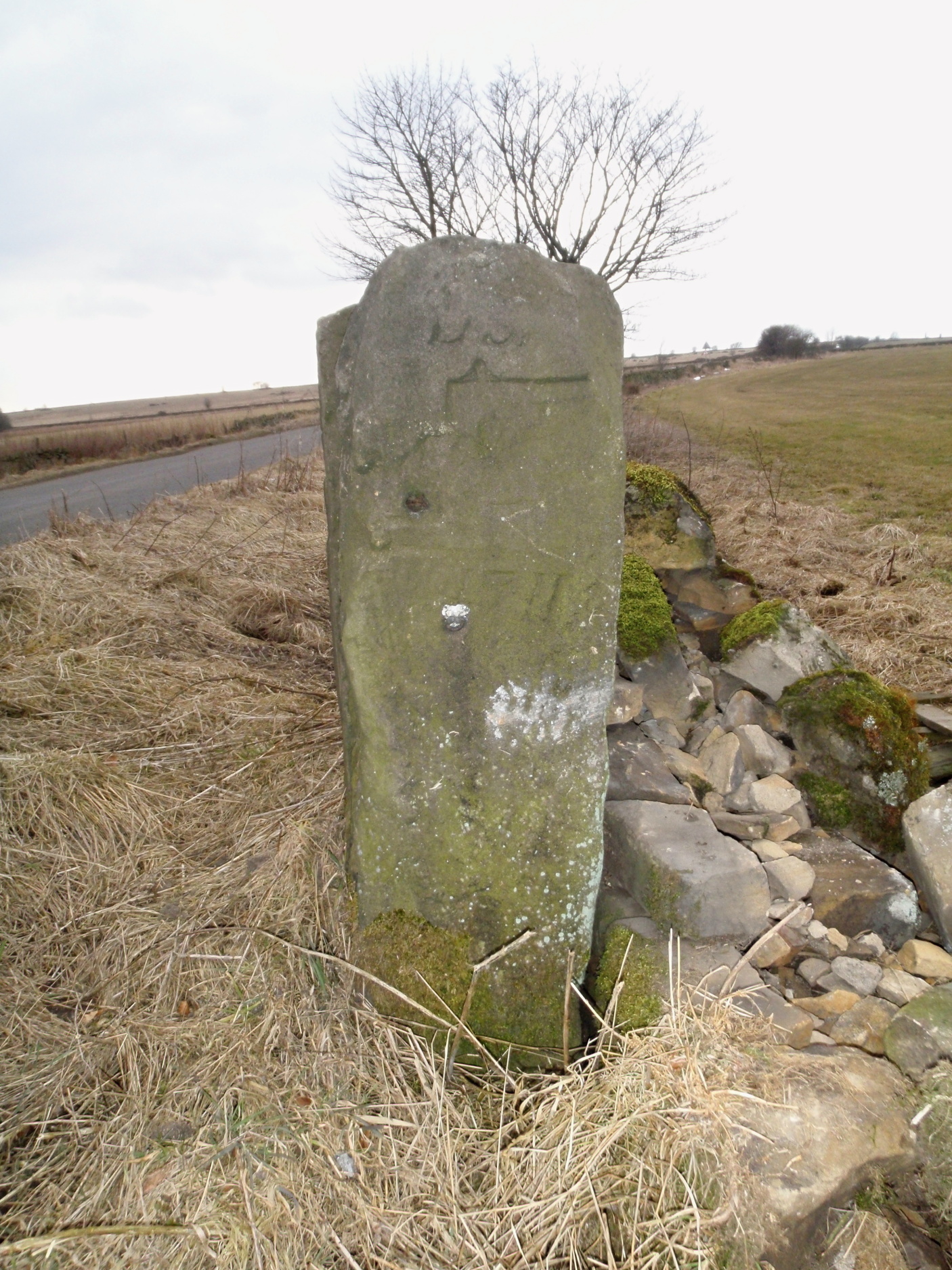
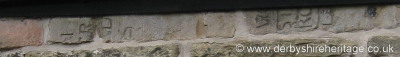
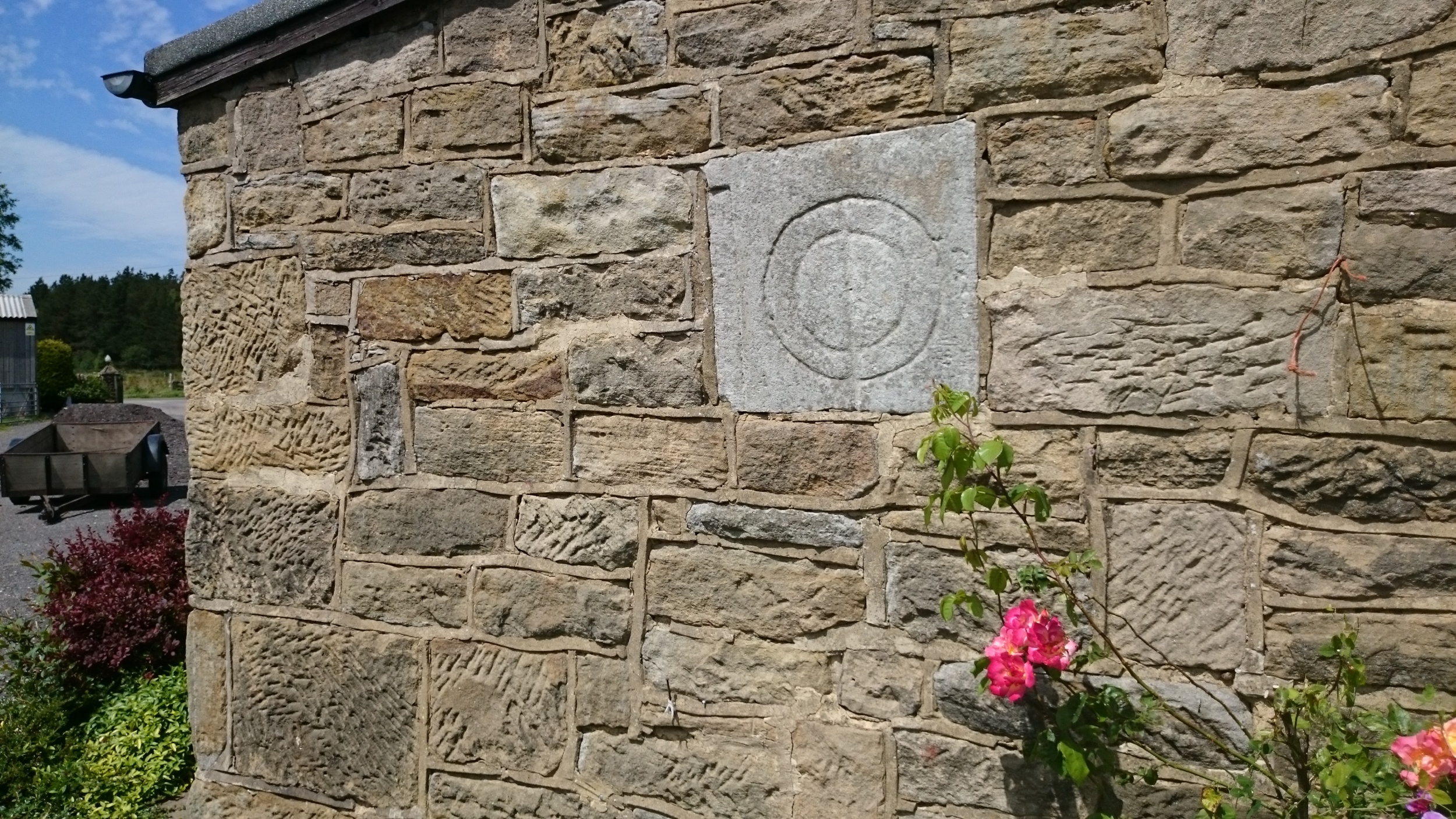
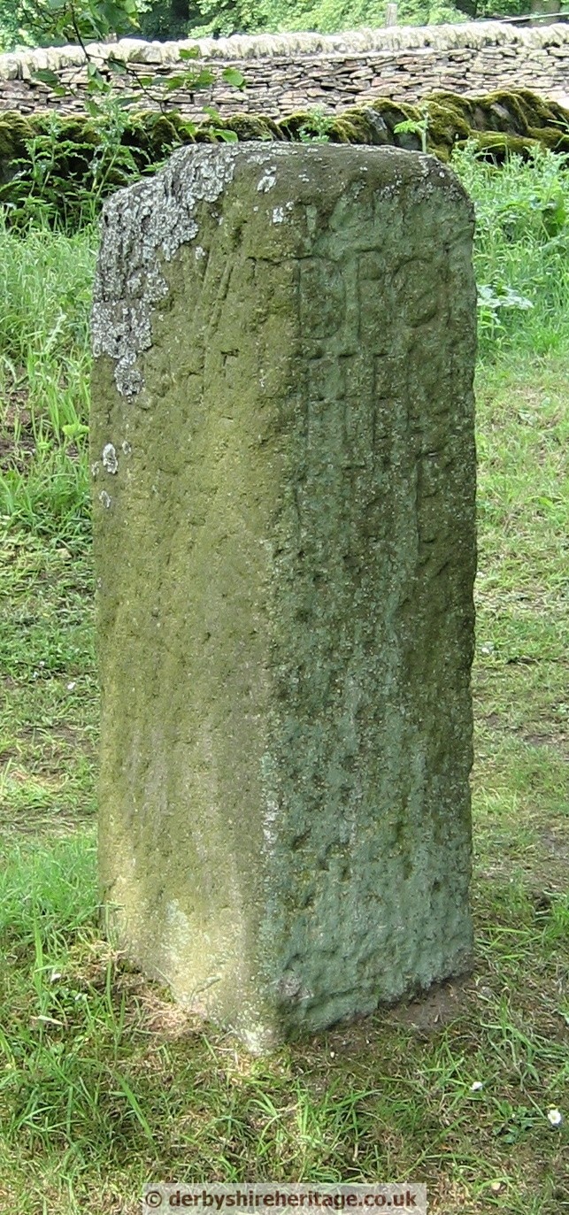
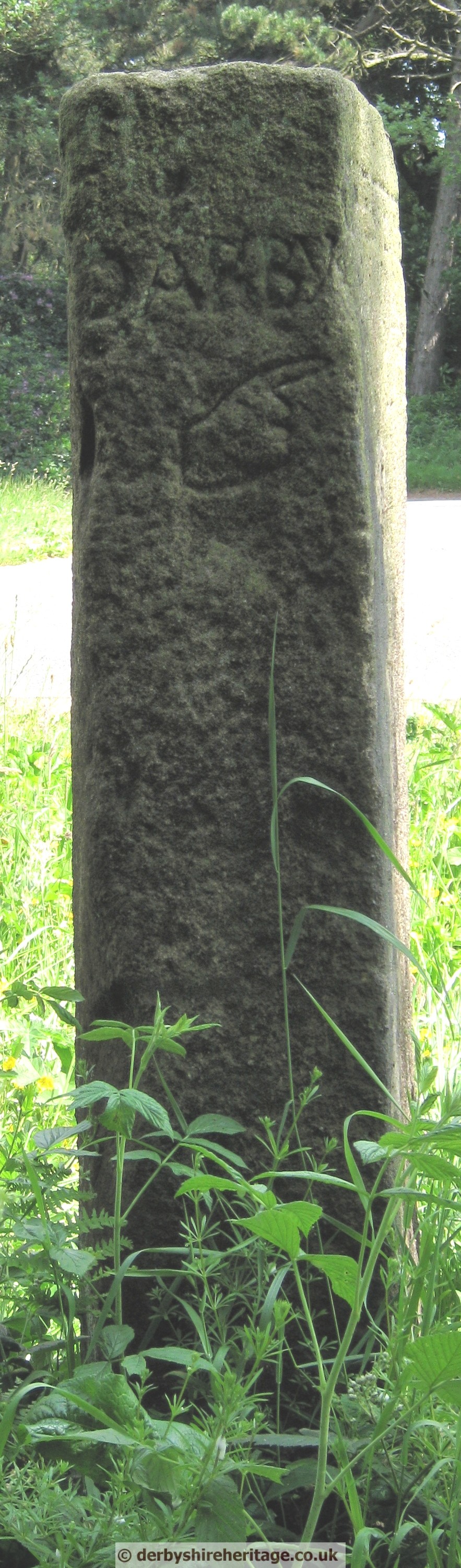
DARLEY FOREST GRANGE
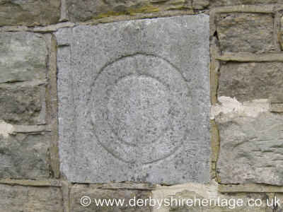
The private property of Darley Forest Grange (at one time known as Moor Farm) is where the remains of a guide stoop are to be seen in stonework under the eaves.
It was cut into two before being used and only the face showing what was WINSTER ROAD can be seen.
Darley Forest Grange is the highest residence in Darley Dale and dates back to 1500 but was substantially rebuilt in 1784. Along with surrounding cottages which have long been demolished it was part of the hamlet of Darley Flash which is shown on Burdett’s map of Derbyshire 1791 and is referred to in Bulmer’s History and Directory of Derbyshire 1895. There is a further interesting stone built into a wall thought to be connected with the local cattle and sheep fair which used to be held on the moor twice per year.

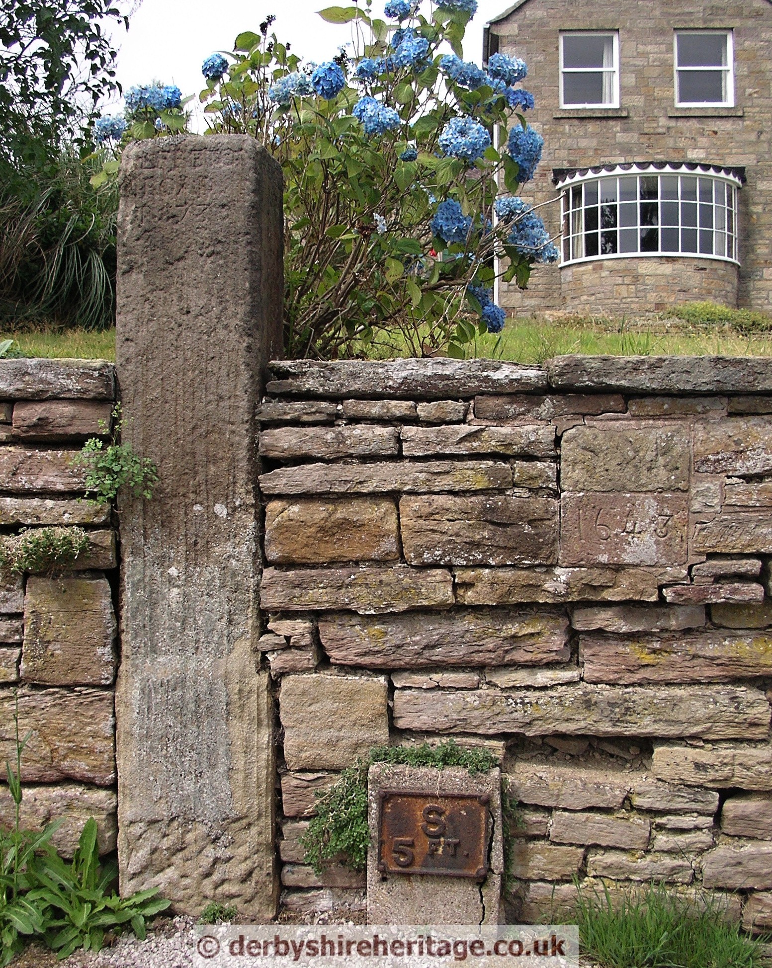
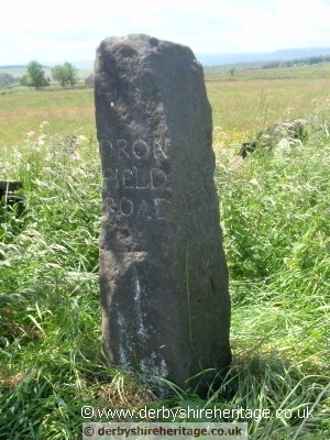
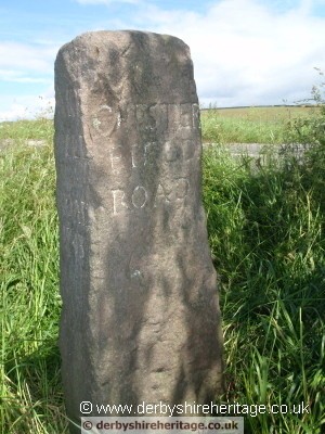
DARLEY ROAD – SK316667
South of the Darley road / Alicehead road crossroads East of Gladwin’s Mark this guide stoop was removed in 1940.
After World War II was incorporated into the wall further east on Alicehead road.
In 1997 it was re-sited in its current position in its original pit.
   |
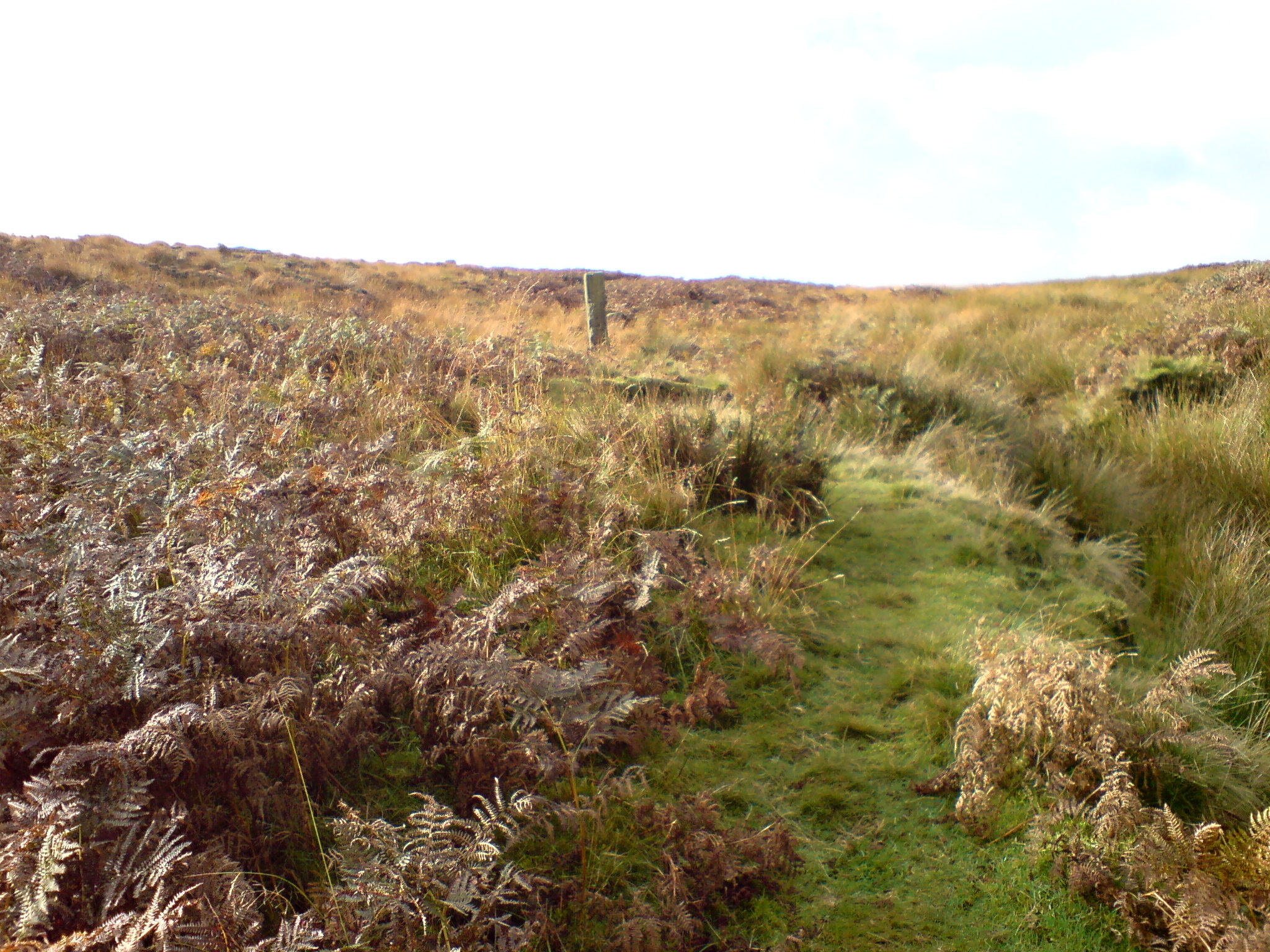
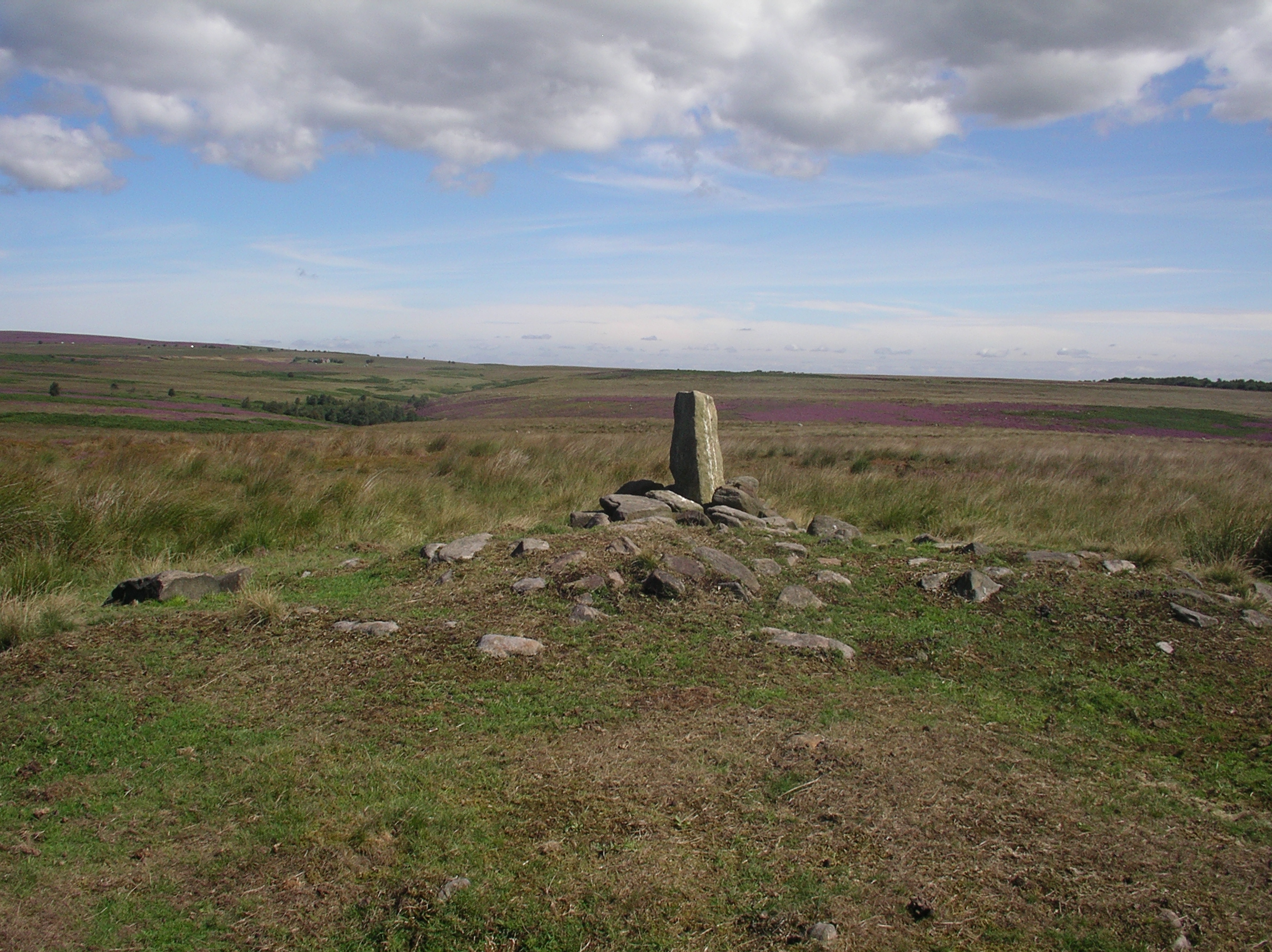
EAST MOOR East of Hob Hurst’s House – SK290692
 |
 |
 |
 |
EAST MOOR North of Hob Hurst’s House – SK288696
North of Hob Hurst’s House, cross the stone slab bridge over Umberley Sick and the guide stoop is just a short distance further.
 |
 |
 |
 |
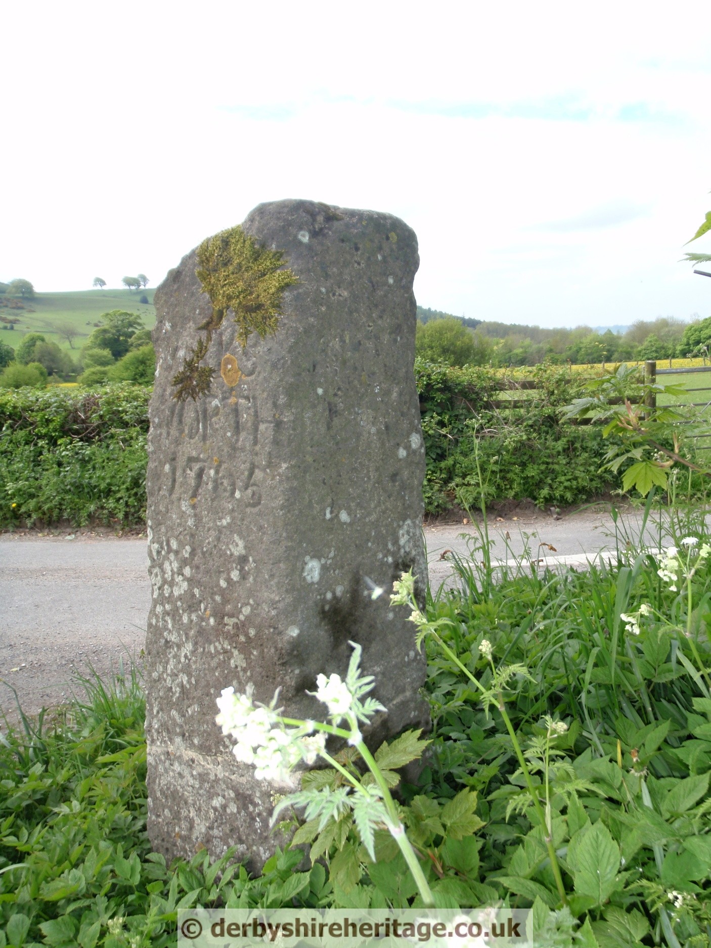
EDENSOR – SK235697
Located at the top of the Bridlepath West of Edensor. Unusually this guide stoop has lower case lettering.
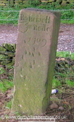 Its North face points East to ‘Bakewell Rode’ and is dated 1709. |
 The South face points East to ‘Chesterfield Rode’ |
 The East face shows ‘Sheffield Rode’ with a hand pointing North. |
FLASH DAM – SK313643
This guide stoop is located on the North East corner of the Jaggers/Screetham Lane crossroads.
It was found in 1971 lying in a large pothole in an unmade road and taken to a private garden for safekeeping before being erected in its current position in 2004.
There are two dates inscribed on this stoop – 1709 and 1739 and it is thought that the later date of 1739 was inscribed after the addition of WINSTER ROAD. This again is unusual as generally only one direction is indicated on each face with the intention of turning right to head in the direction of the inscribed market town but WINSTER ROAD is obviously indicated as a left turn.
 |
 |
 |
 |
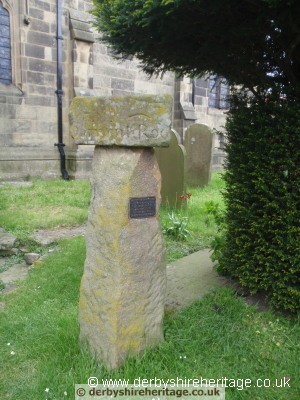
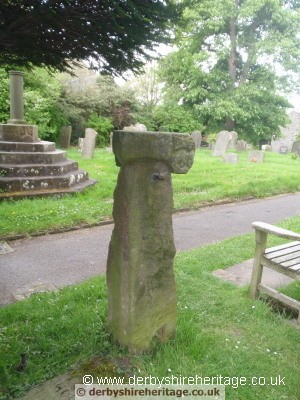
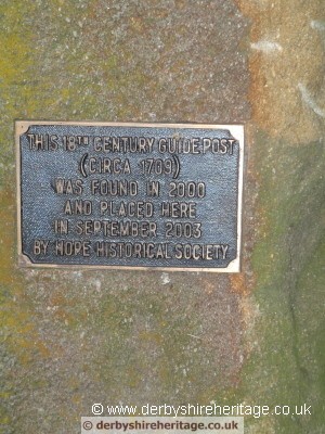
HOPE CHURCHYARD
This guide stoop (which seems to be a piece of the original) was found in the vicarage garden and is set onto a stone gatepost as can be seen by the presence of a metal latch.
It is to be found close by St Peter’s cross and the sundial.
 |
 |
 |
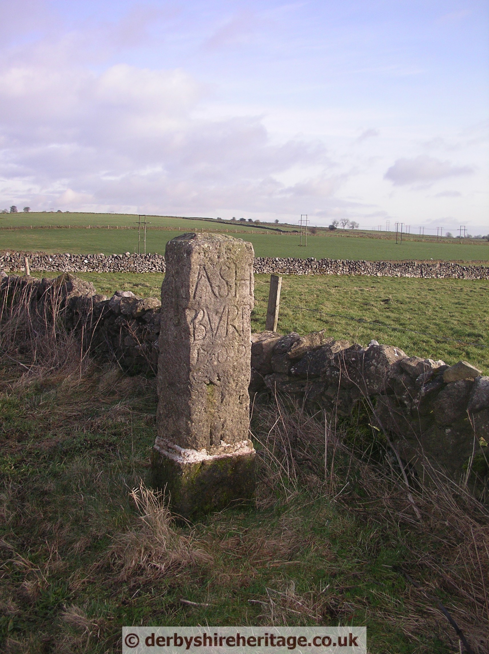
HOPTON, Sycamore Farm
This stoop stands opposite Sycamore farm where the minor road from Kirk Ireton meets the B5035 close to Carsington reservoir.
It was broken into three pieces when hit by a car which ran off the road and was later repaired.
It is dated 1705 which makes it the first stoop to be erected in Derbyshire. Howard Smith suggests that it was possibly installed by Philip Gell of Hopton Hall who was a member of Parliament in 1705 and would have been aware of the act requiring the erection of guide stoops.
 |
 |
 |
 |
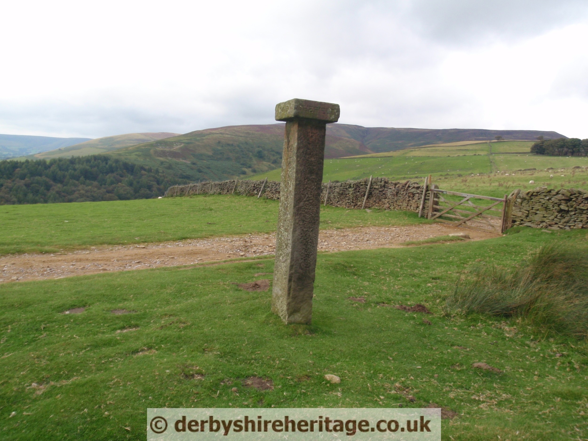
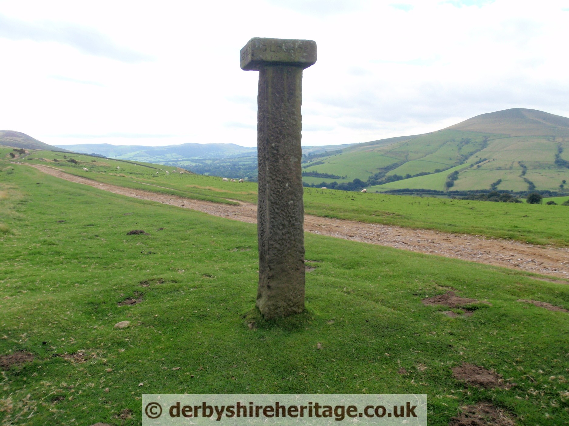
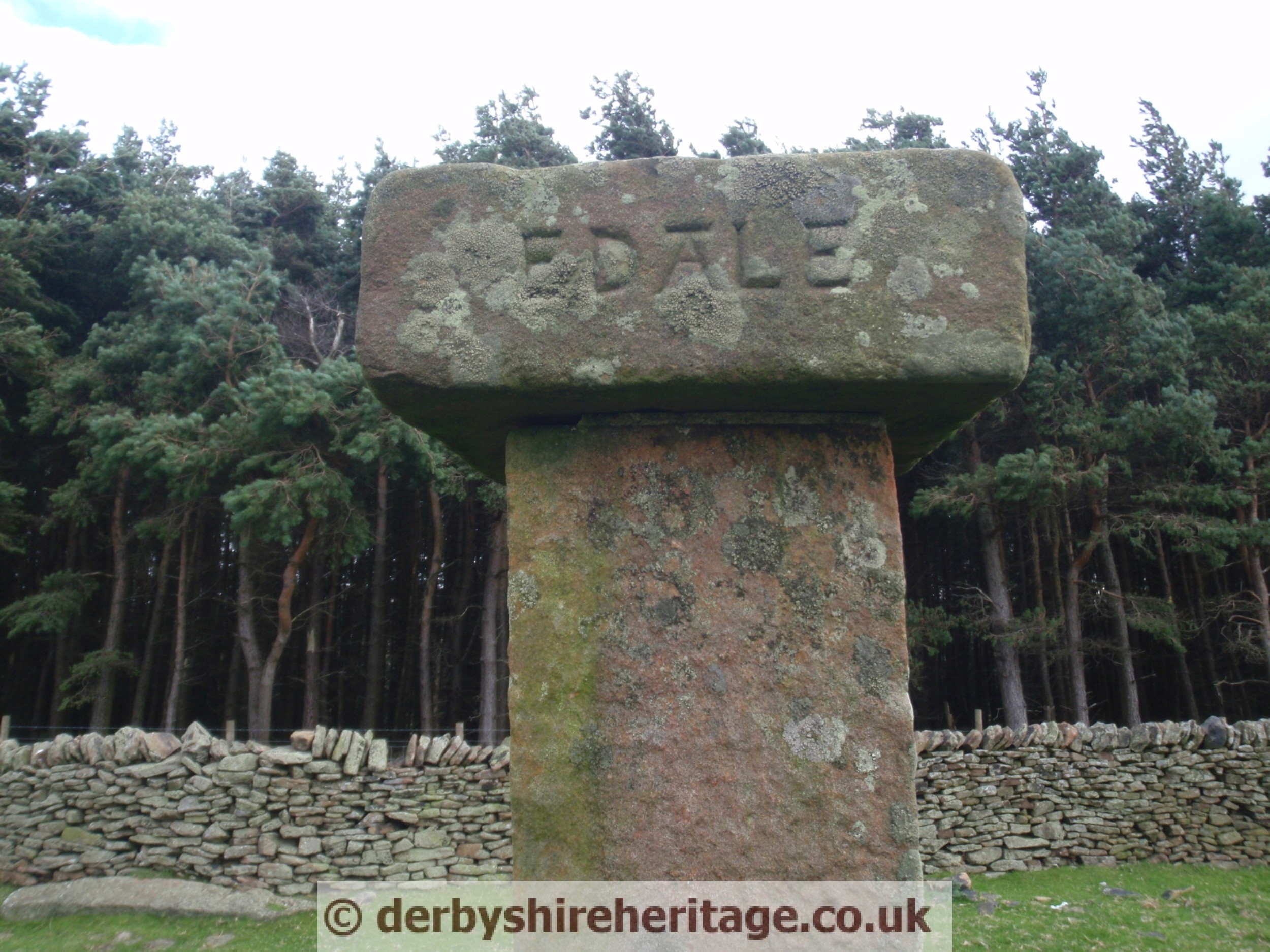
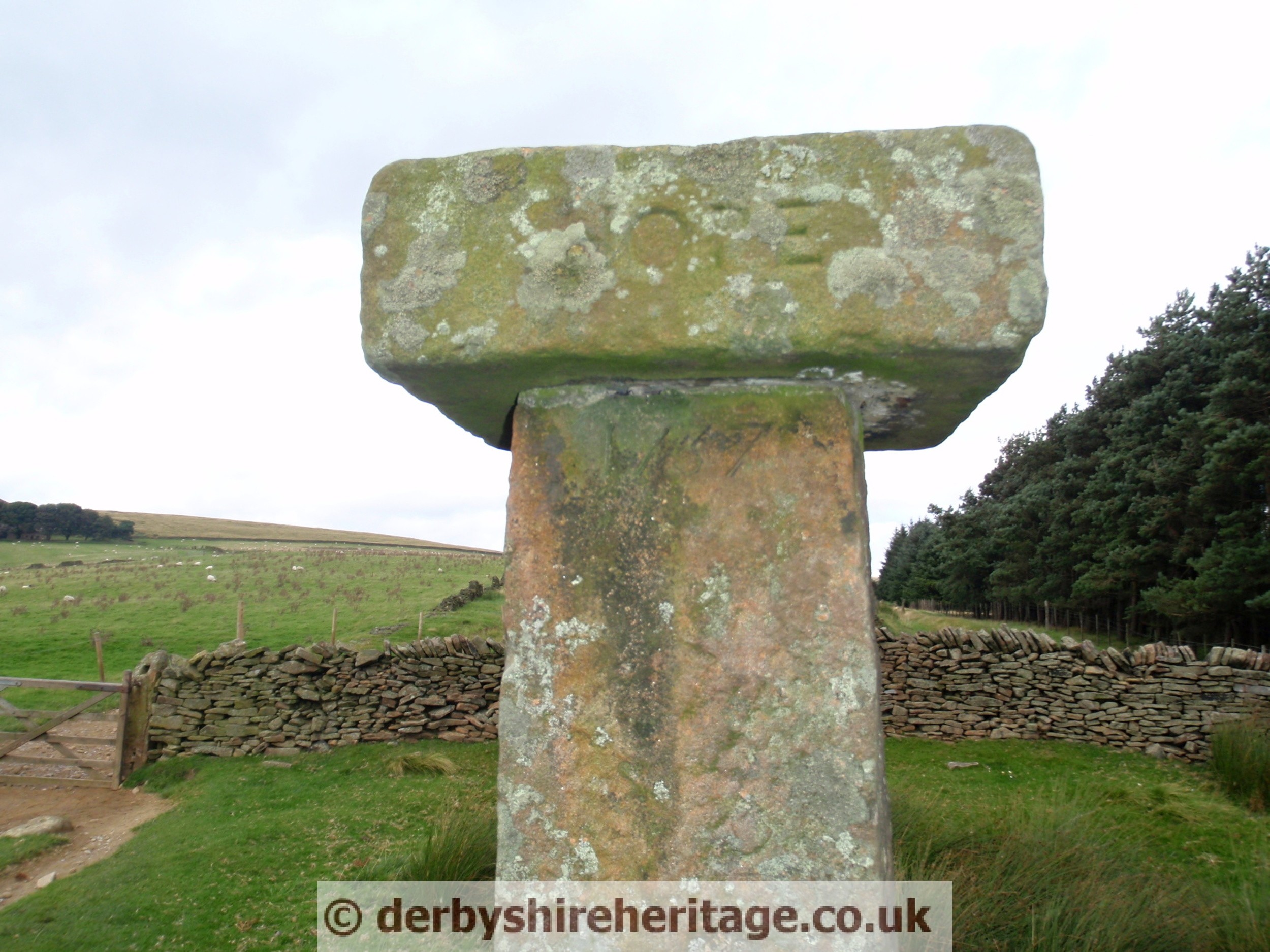
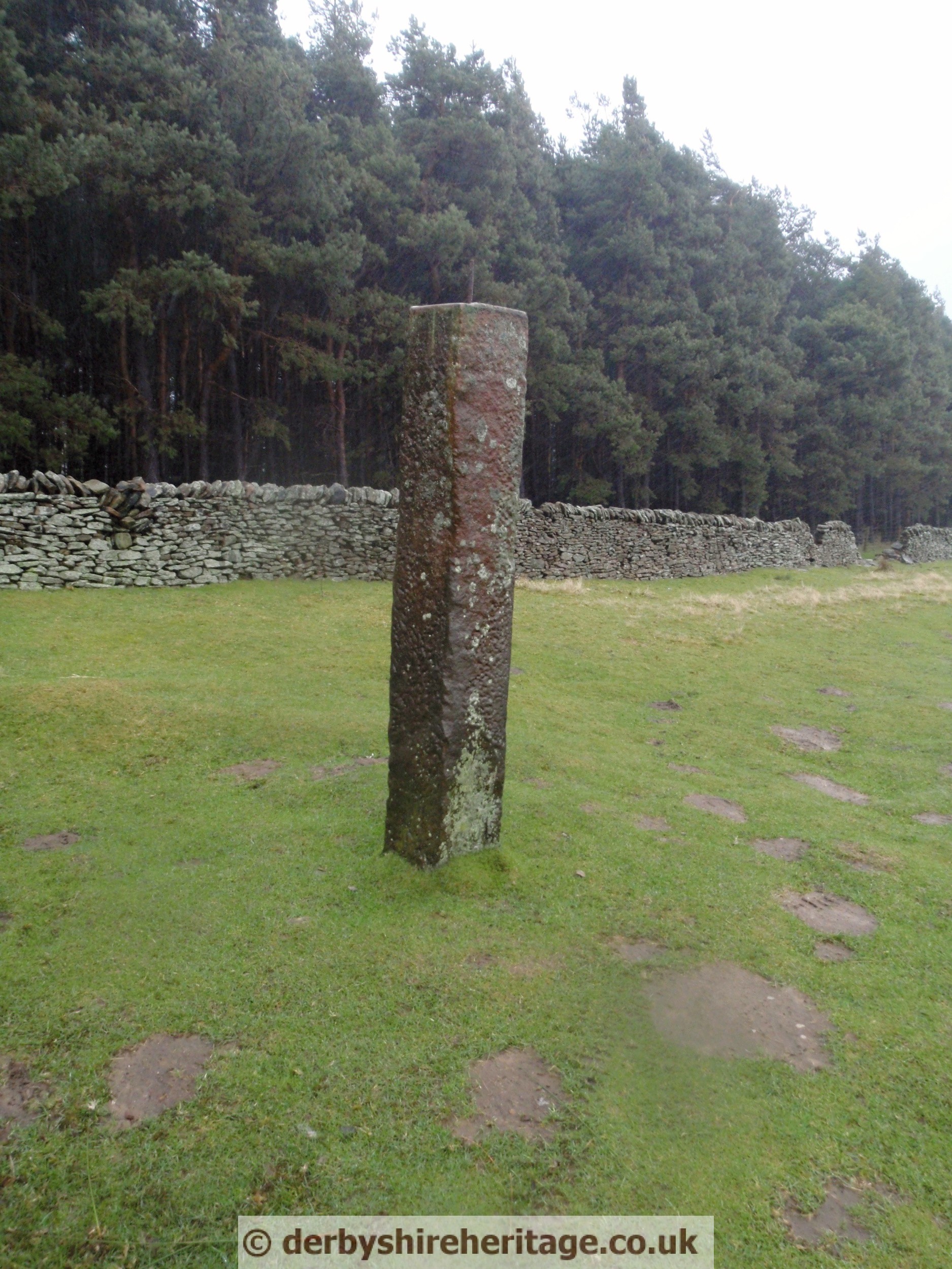
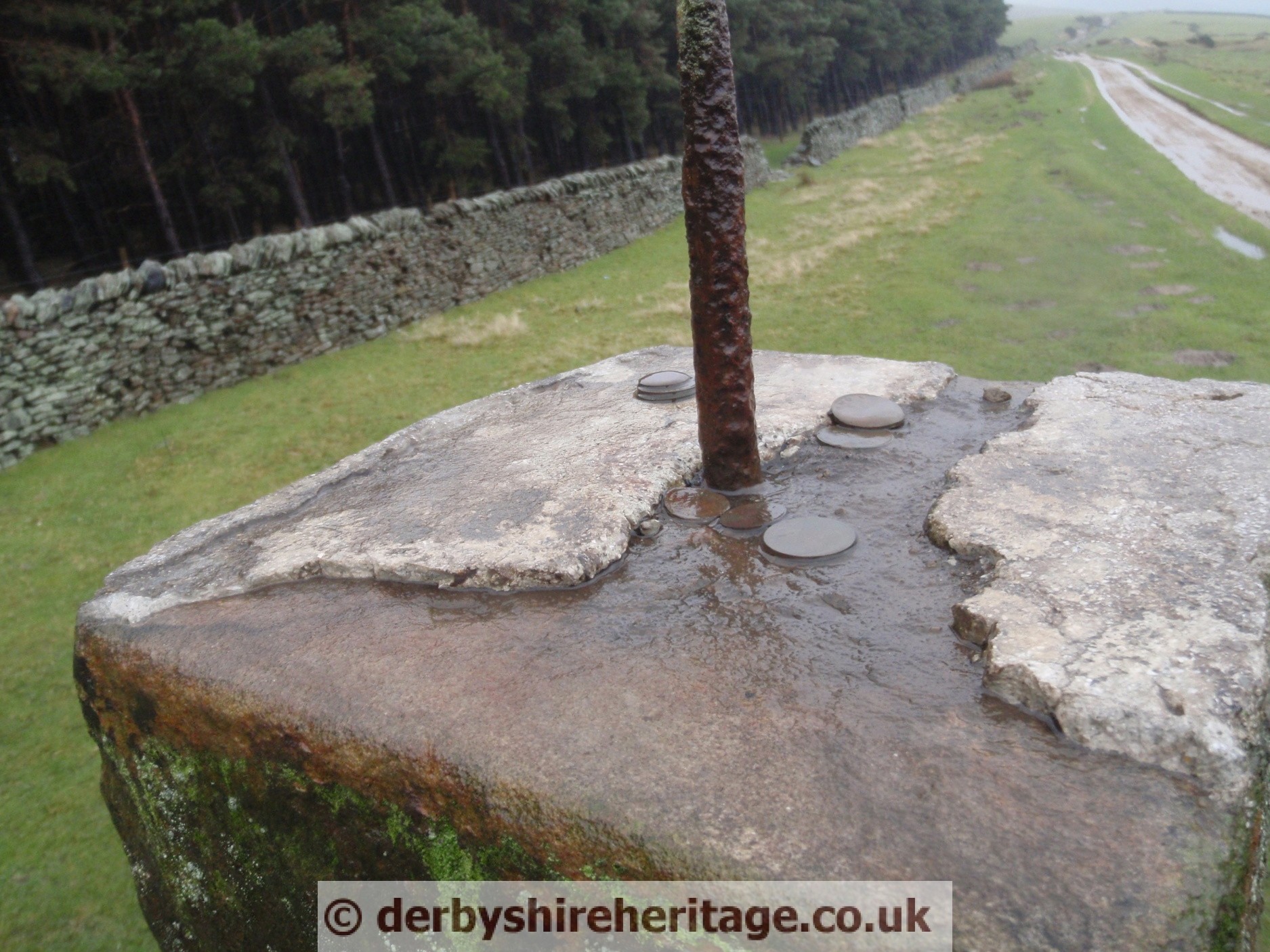
HOPE CROSS
On the course of the old Roman road (ridgeway) known as Doctor’s Gate at the North West end of Ladybower reservoir. Hope Cross stands around 7ft high with a capstone bearing the names of Sheffield, Glossop, Edale and Hope on its faces. It also has the date 1737 cut into the top of the shaft on the face showing Edale. 1737 is probably the date when it was restored.
 |
 |
 |
 |
 |
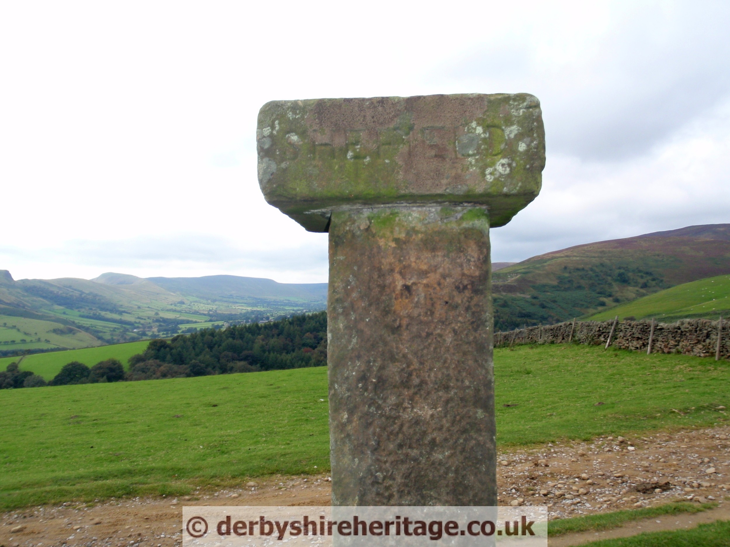 |
In 2012 it was vandalised and the top stolen but eventually found dumped in a lay-by.
  |


| LONGSHAW PARK – SK261794 Found just South of Longshaw Park Lake |
||
 |
 |
 |
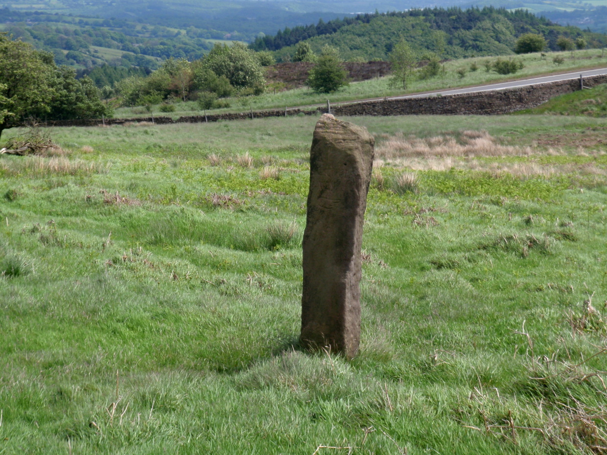
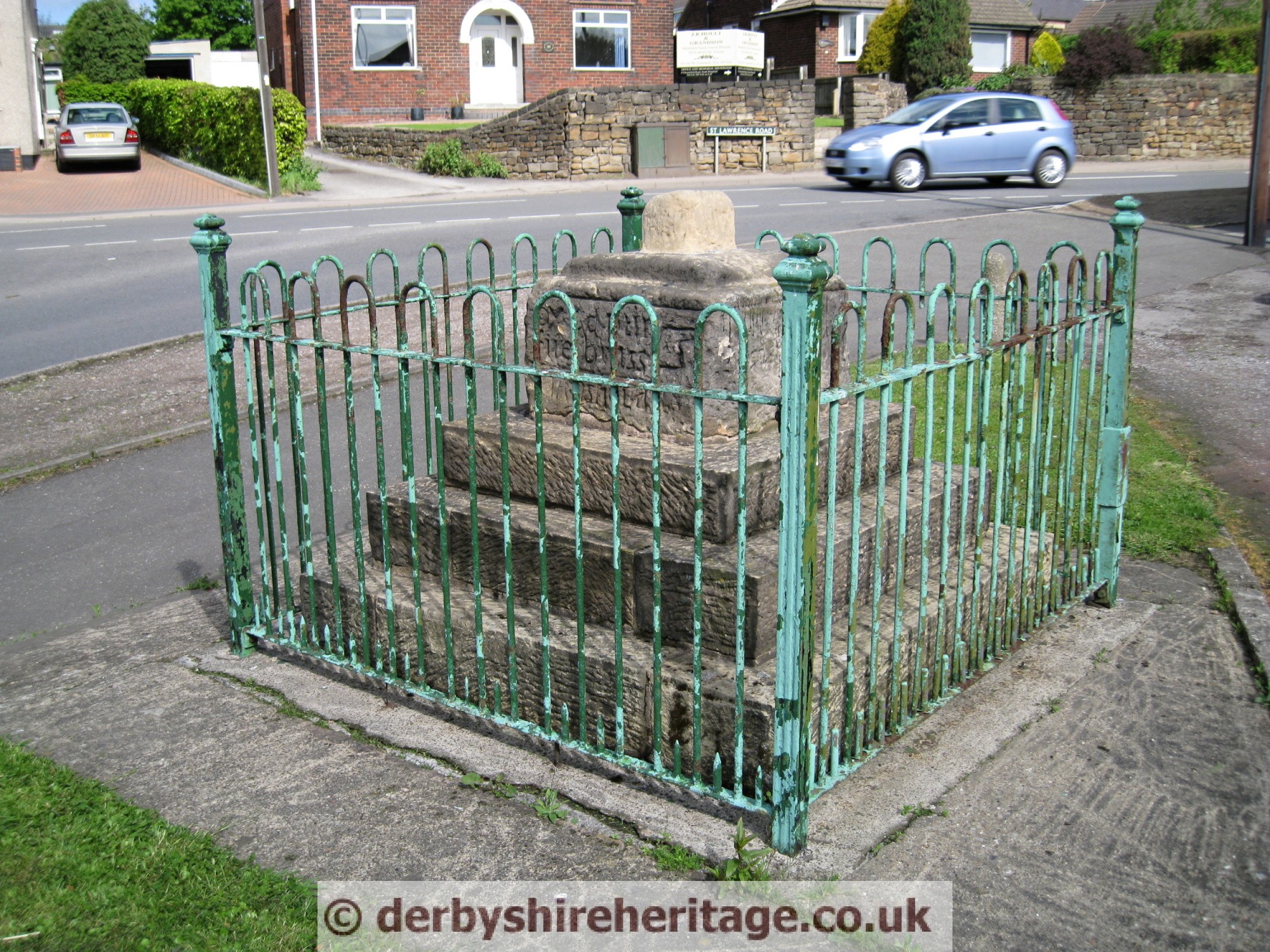
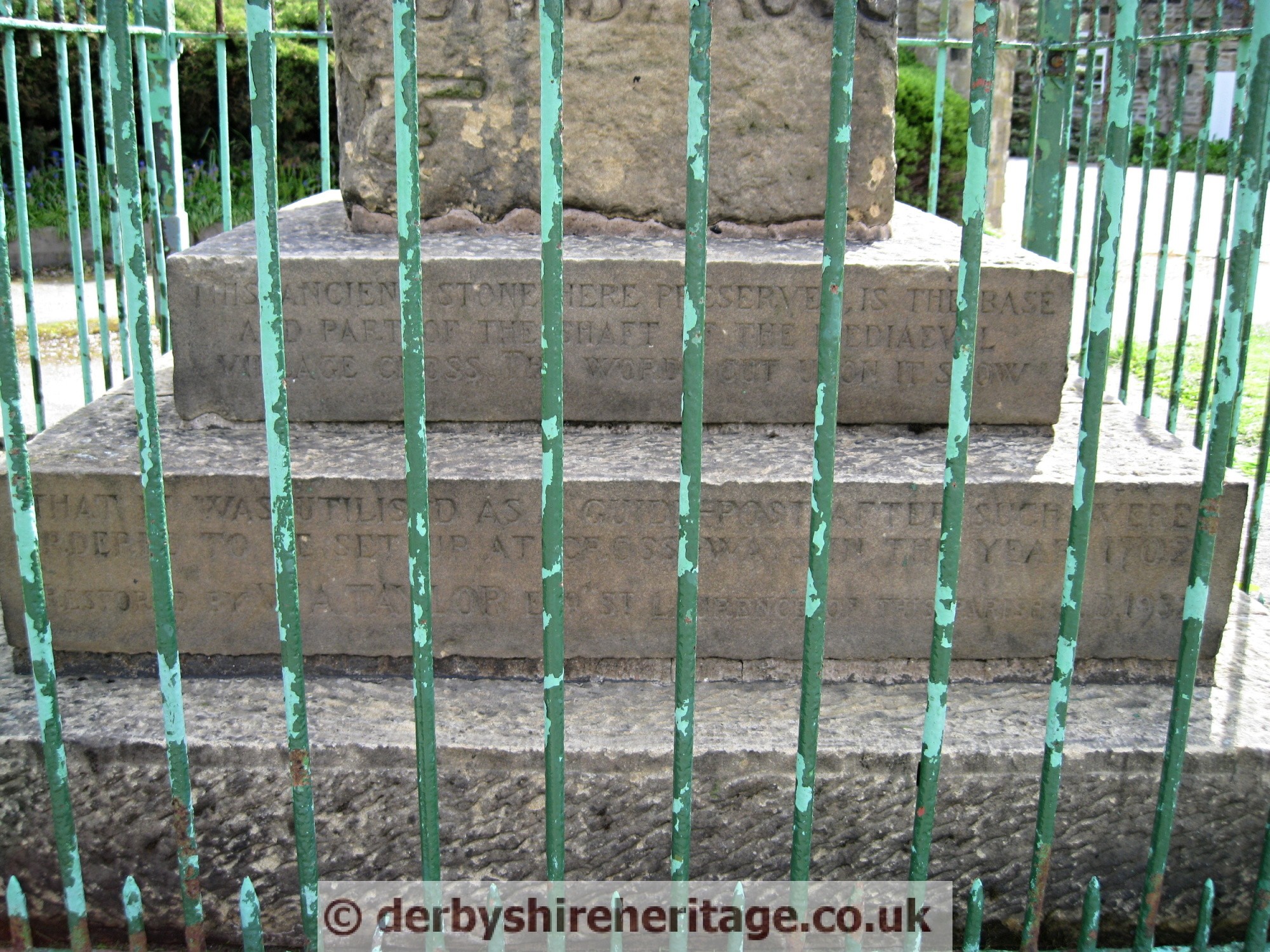
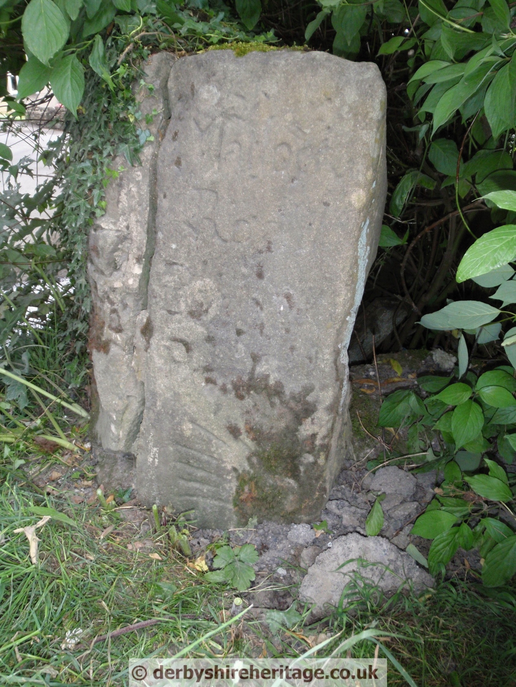
MATHERSGRAVE – SK359589
This stoop appears to be taller than normal but it is set to its full height into the wall whereas normally the bottom section would be buried. It is dated 1730. To the right of the stoop is a 1643 datestone under the initials SM, which refers to Samuel Mather, who committed suicide in 1716 so the datestone would appear to be wrong.
Mather’s Grave is located at the hamlet of Mathersgrave North West of Wessington and there are differing version surrounding his unfortunate demise.
One reference says that he had committed suicide in an old barn not far from Brackenfield Green as a cloud hung over him because of the birth of an illegitimate daughter. Tradition relates that he was drawn to his grave by two bullocks, and on the way to his resting place a raven settled ominously on the body as the oxen came to a stand. Under ecclesiastical law anyone who had committed suicide could not be interred in consecrated ground so he was laid to rest in an unmarked grave.
There is an entry in Morton parish registers for 1720 which shows the churchwarden’s accounts for a payment: ‘1 shilling for a coffin for Samuel Mather’. Brackenfield at that time was part of the parish of Morton but no-one can be sure that this was the same Samuel Mather.
There is also a tradition Samuel Mather was a sheep stealer and if true he would have been hung for his crime.
Whichever the case may be his body was found some years later when the road was being widened and re-interred beneath the garden wall close by. A stone is inserted in the wall with the initials ‘S.M.’ (Samuel Mather), to which a spurious date has been recently added.


TANSLEY – SK 343591
At the crossroads where Lickpenny Lane and High Lane meet the A625 Matlock to Wessington road this stoop is dated 1710 and was used as a field gate post near Scotland Nurseries until it was re-erected at this site in July 2002 after being fixed on a new base with steel rods.
    |
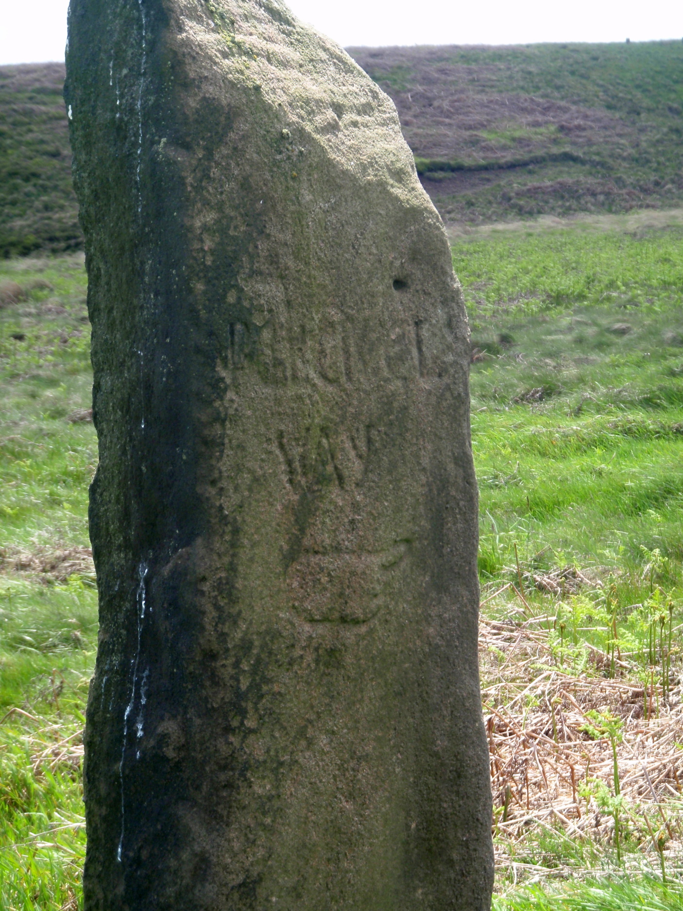
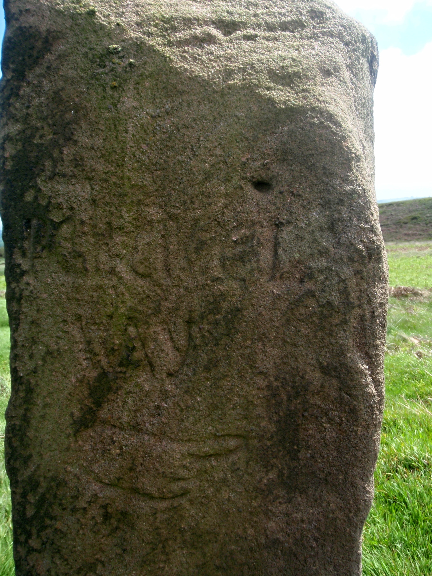
TWO DALES, Back Lane – SK 285635
Stands as a field gate post on Back Lane to the North of Two Dales near Sydnope Hill farm. This was the ancient packhorse route from Winster to Chesterfield.
The pointing hand has five digits as does the stoop at Crowhill Lane near Bakewell and points to the left which is also unusual. This stoop only shows one direction.
 |
 |
 |
 |
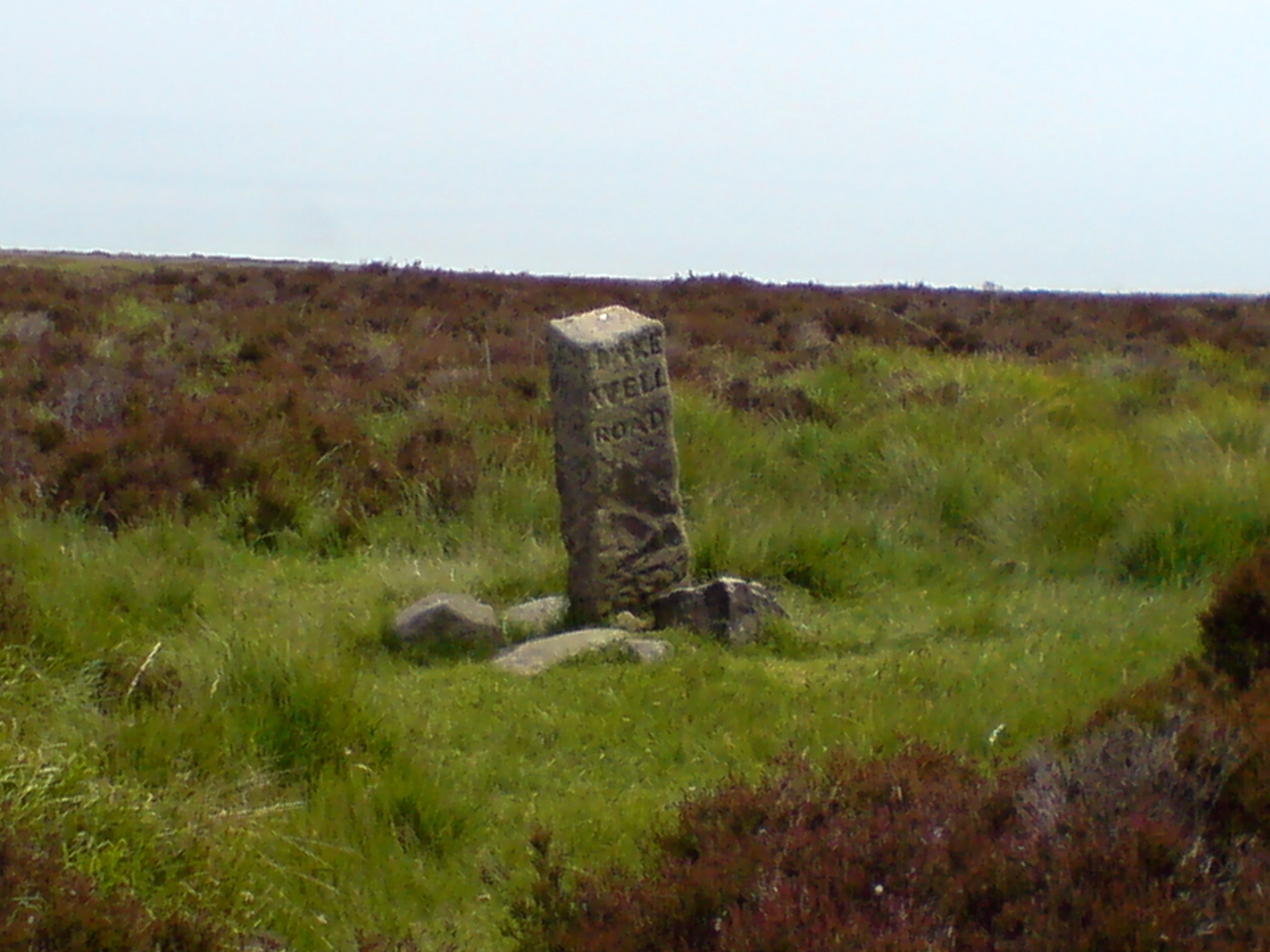
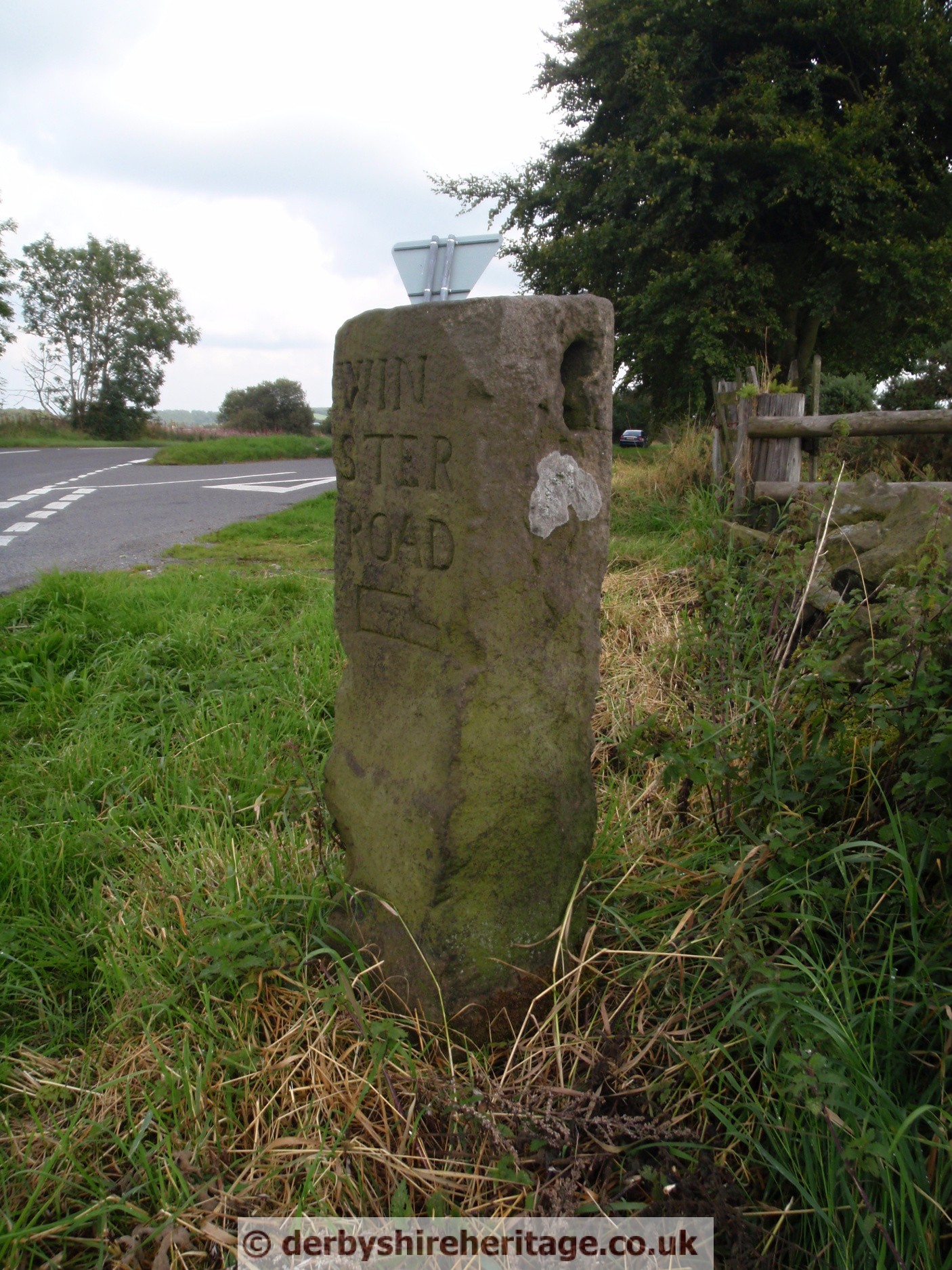
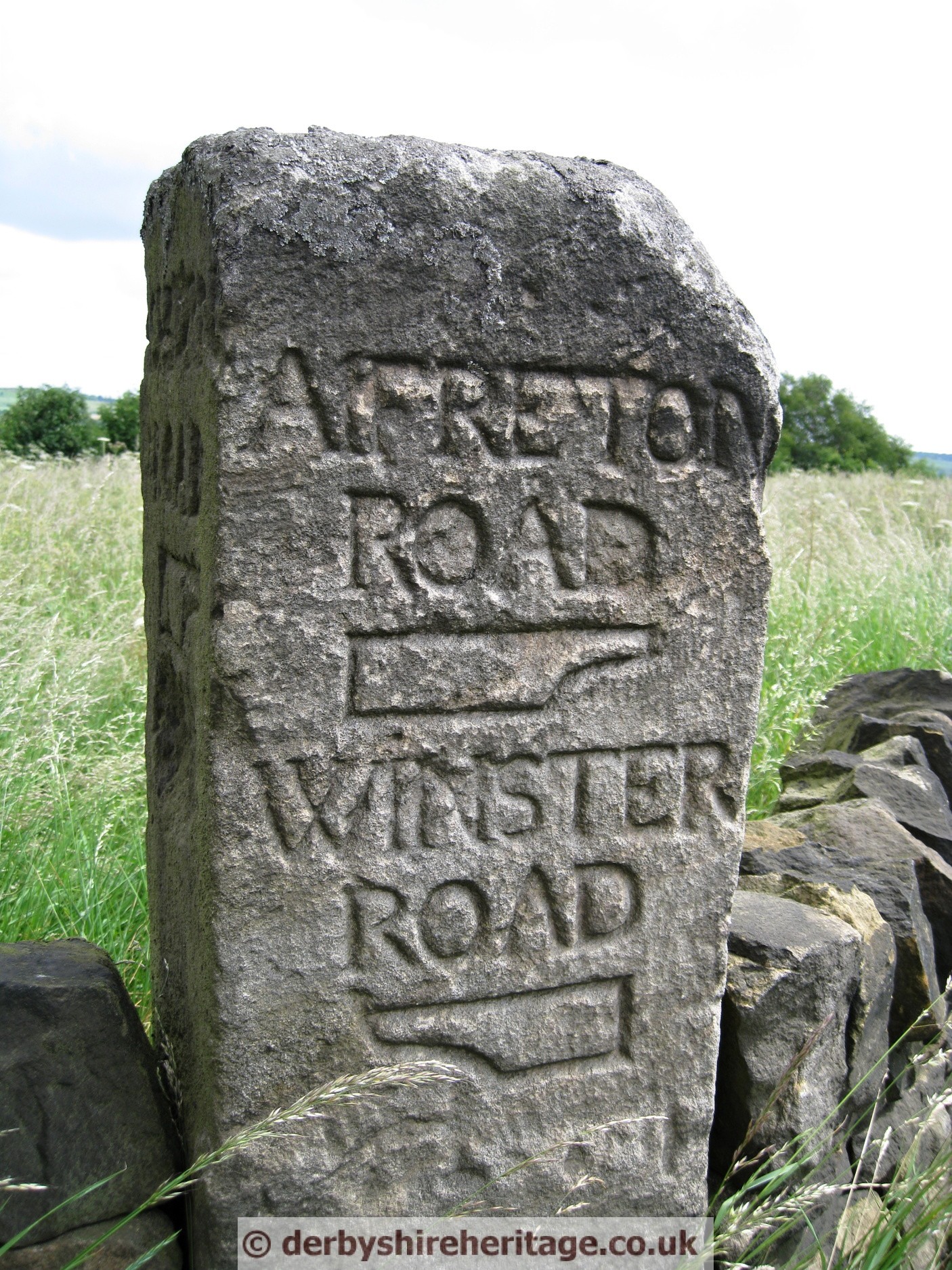
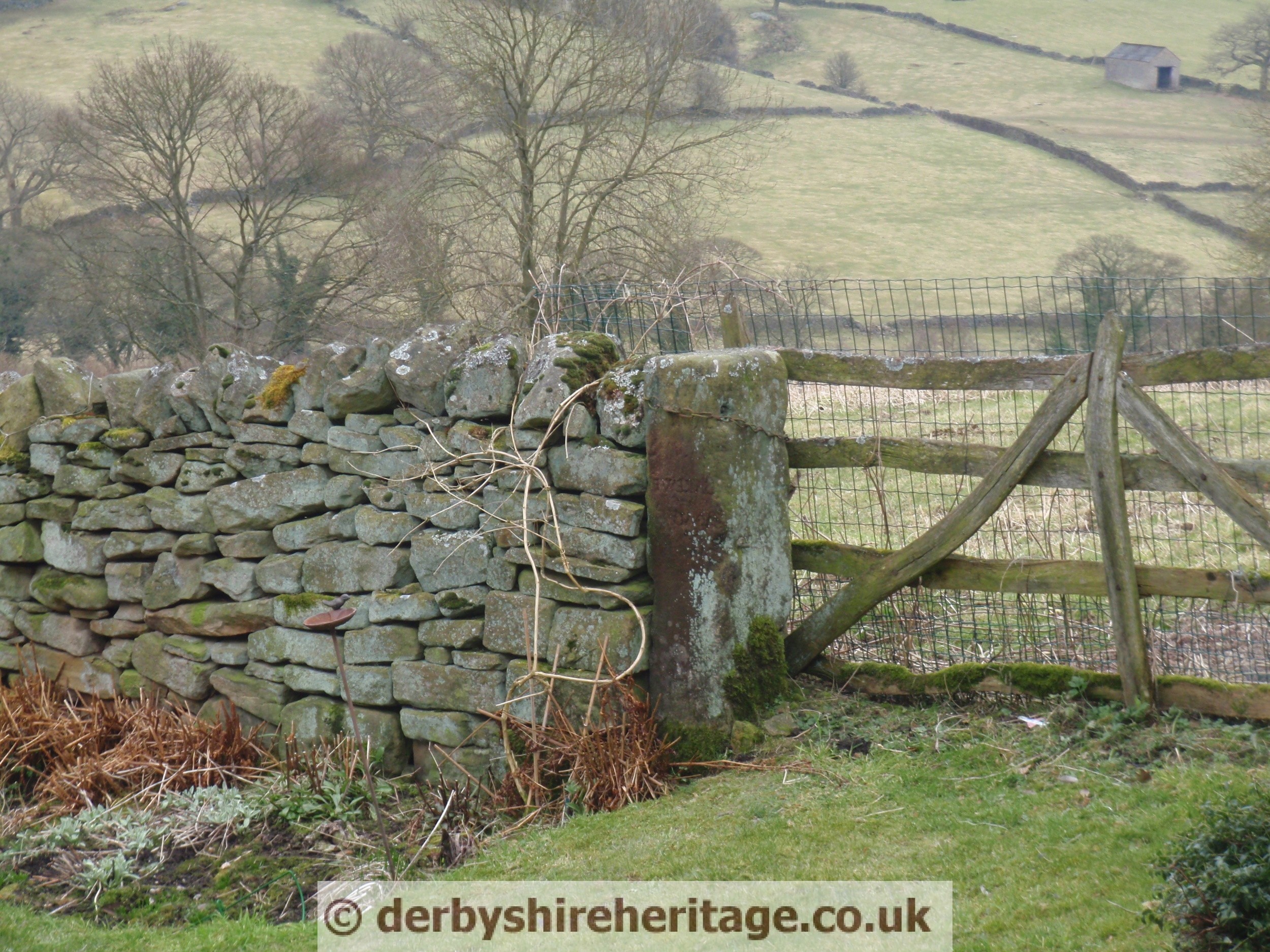
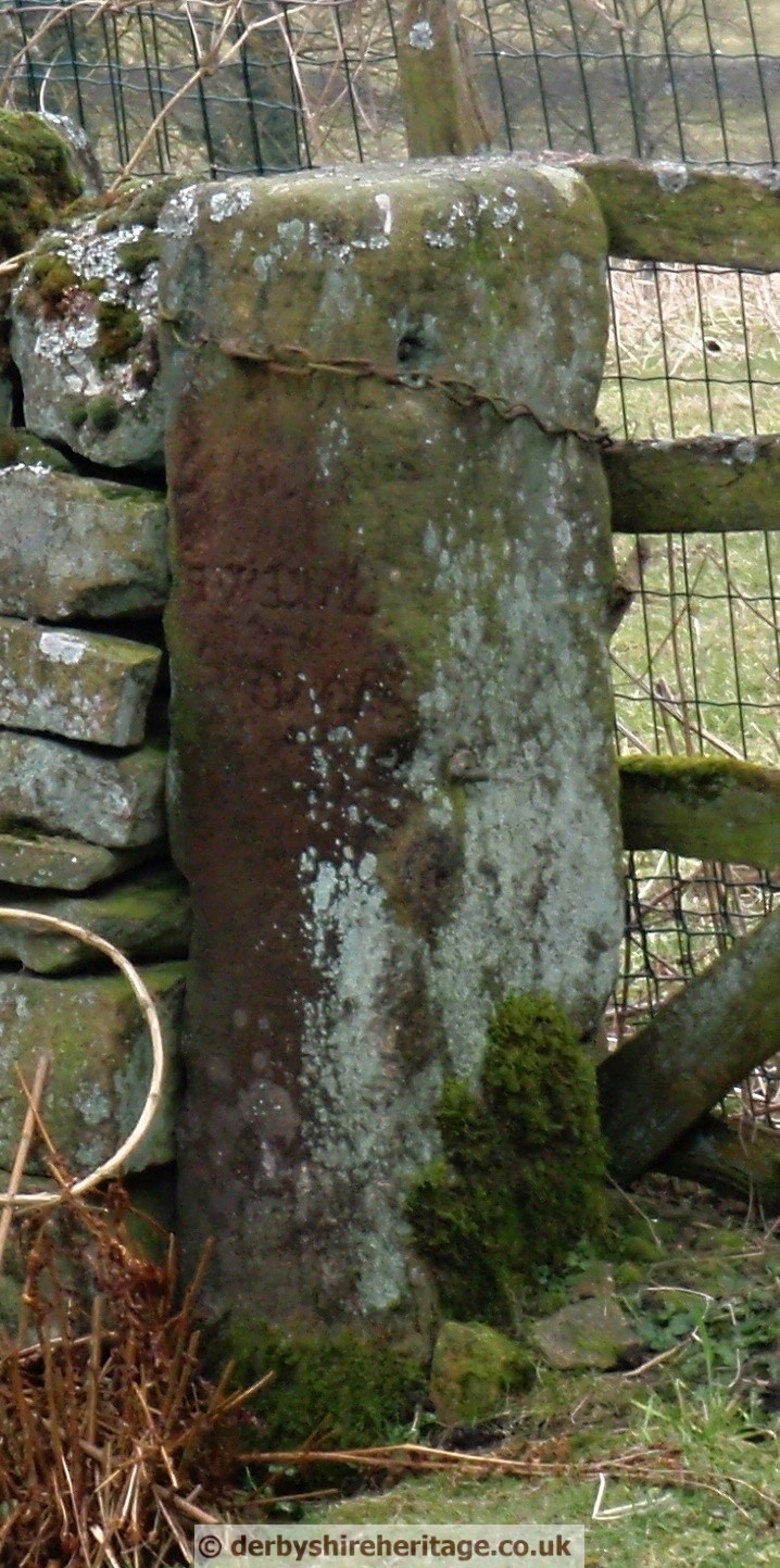
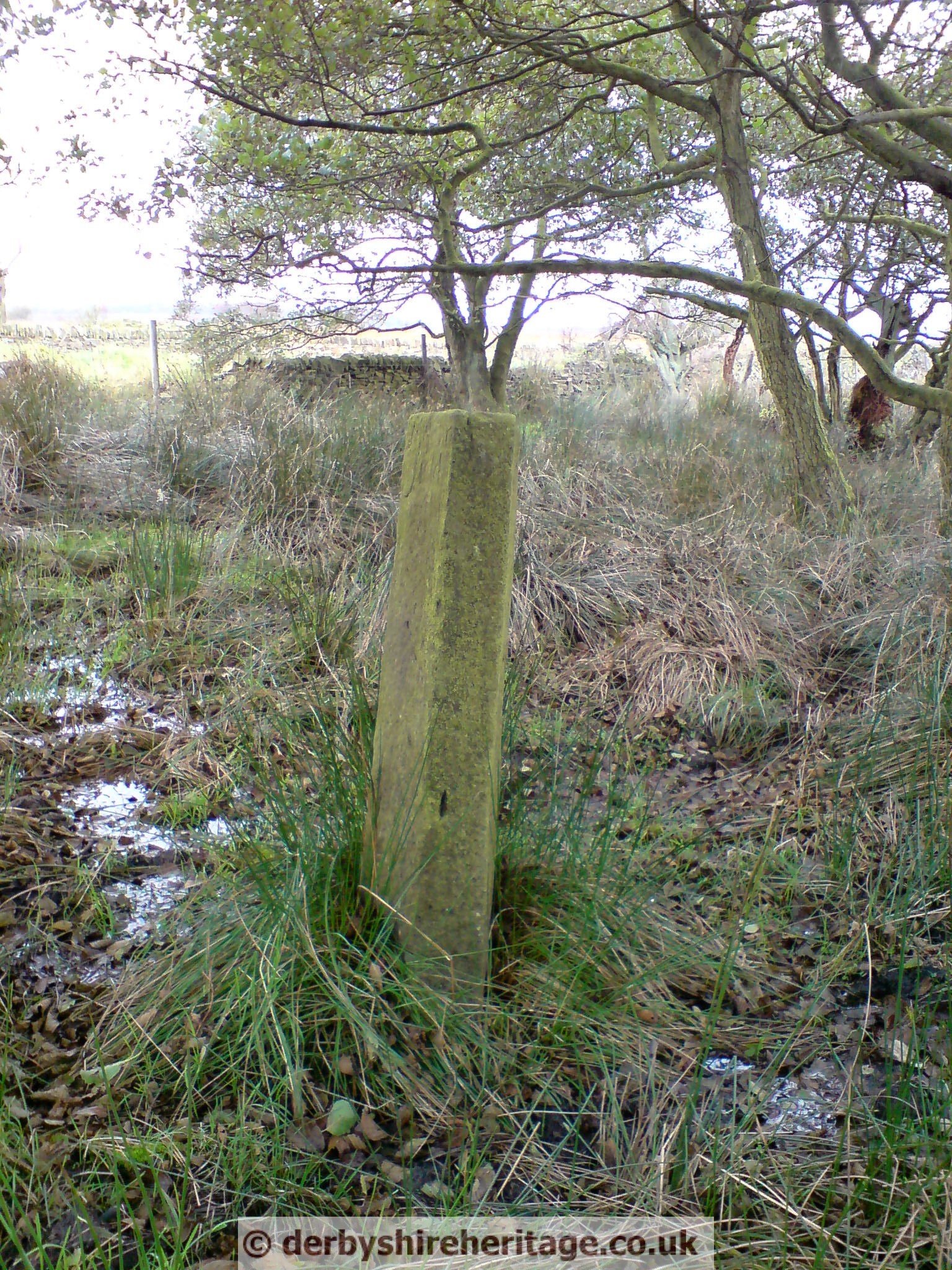
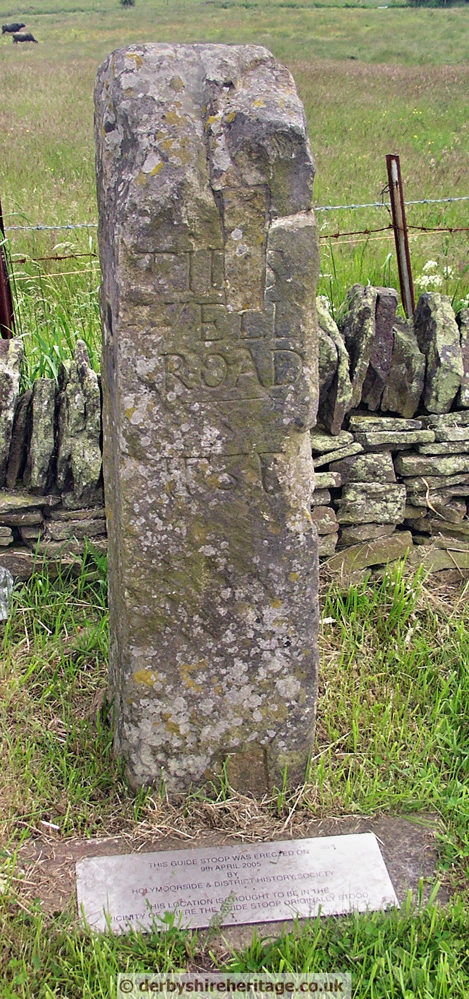
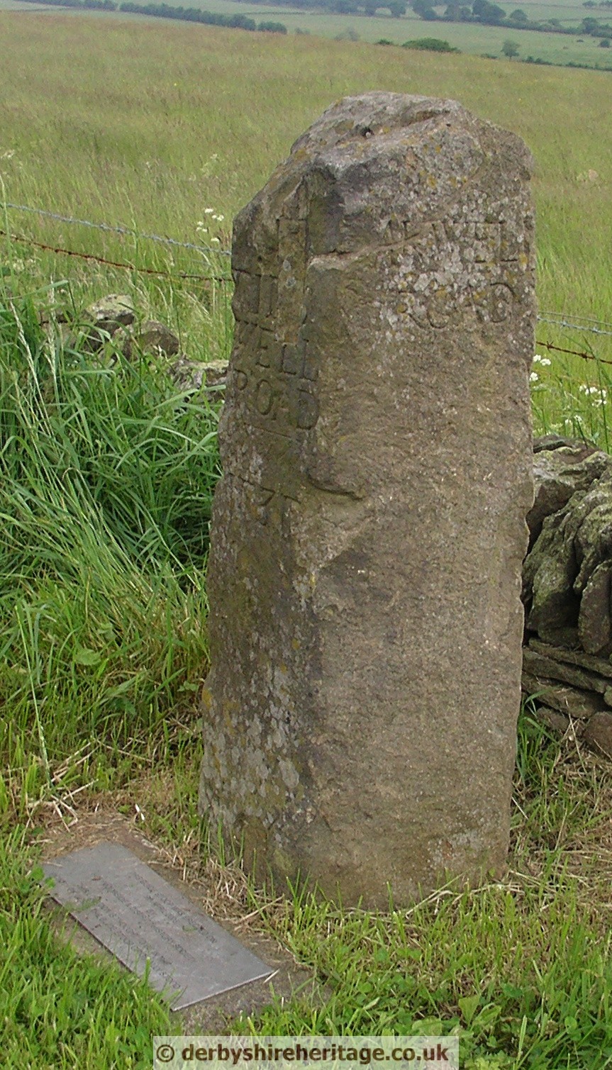
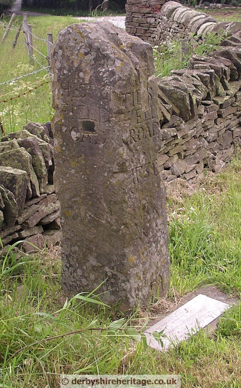
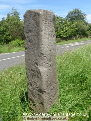
WADSHELF at SK317705
The stoop had been used as a gatepost in another position for many years, before being made redundant and dumped in the farmyard. Its existence was drawn to the attention of Mr Len Entwistle, Holymoorside local historian, and when its significance was realised, re-erected in its present position.
It is wrongly aligned, and originally it probably stood at the T junction at 318706.
South face shows ‘TIDESWELL ROAD’ and the date 1737 (with the 7 reversed). East face shows’BAKEWELL ROAD’.
 |
 |
 |
 |
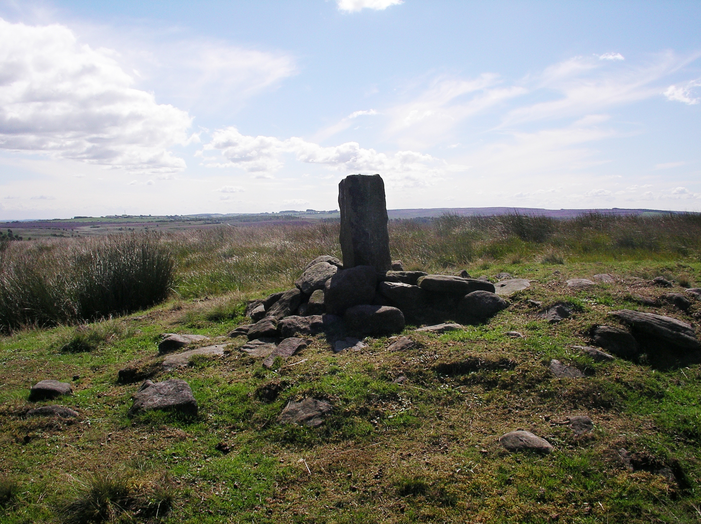
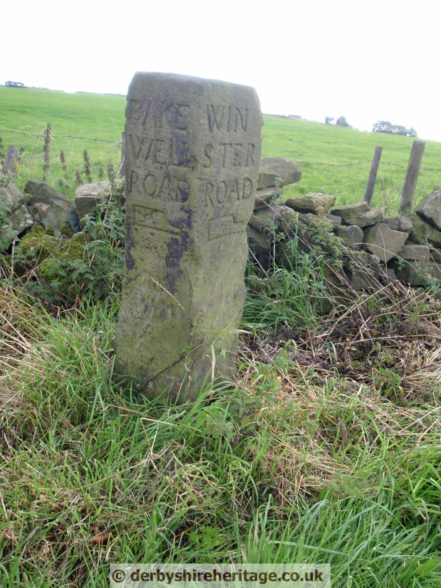
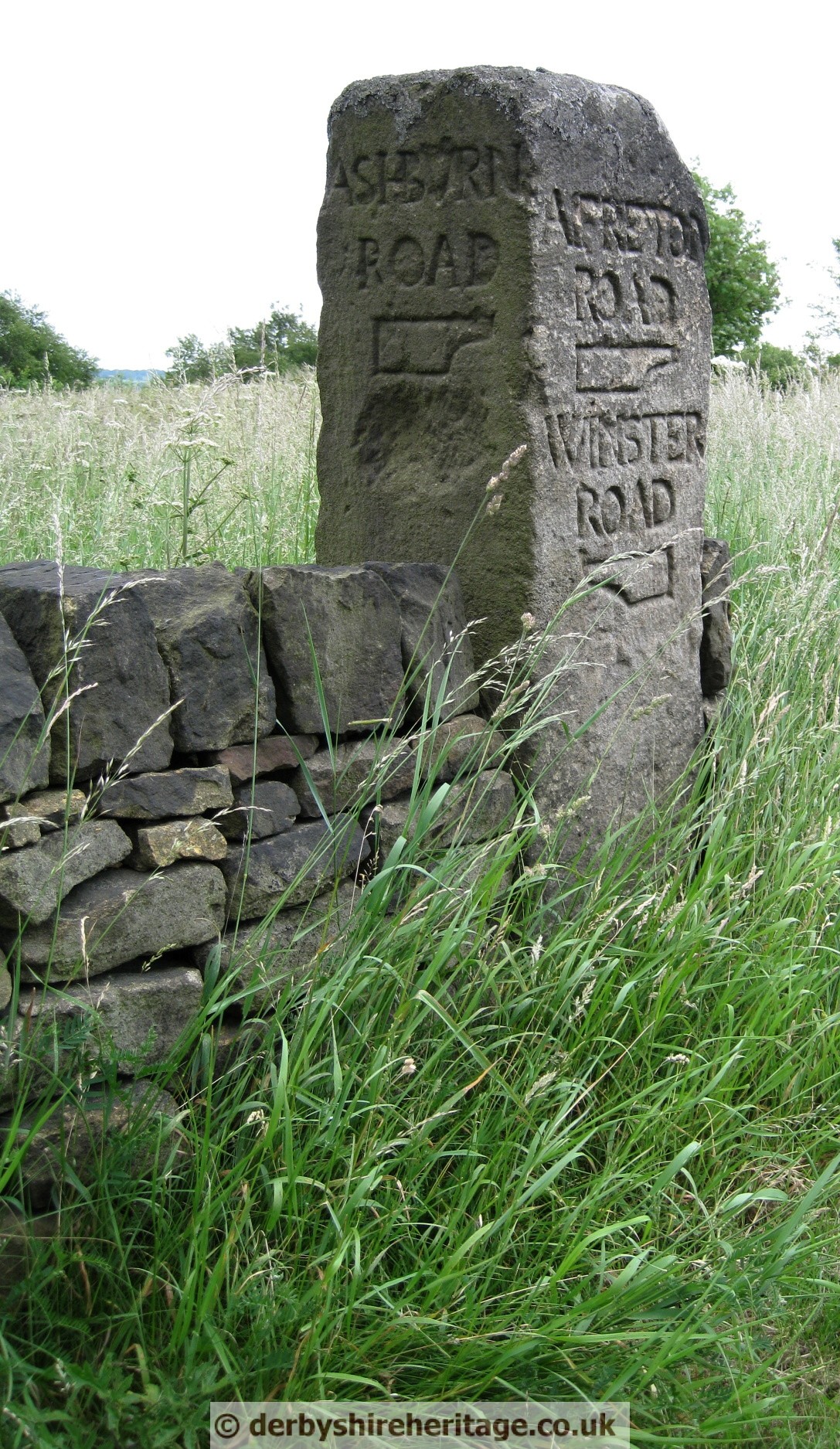
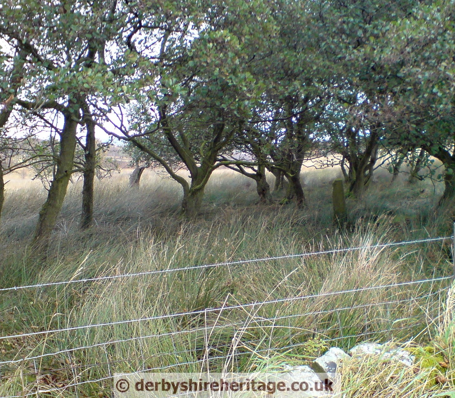
at SK302721 on the crossroads with the B6050 near Cornerstone farm
Sited at SK301720 on the crossroads with the B6050 near Cornerstone farm just a few yards from another guide stoop on the T junction.
The West face shows ‘CHESTERFIELD ROAD’
North face appears to be blank.
East face shows ‘BAKEWELL ROAD’
South face shows an Ordnance mark.
 |
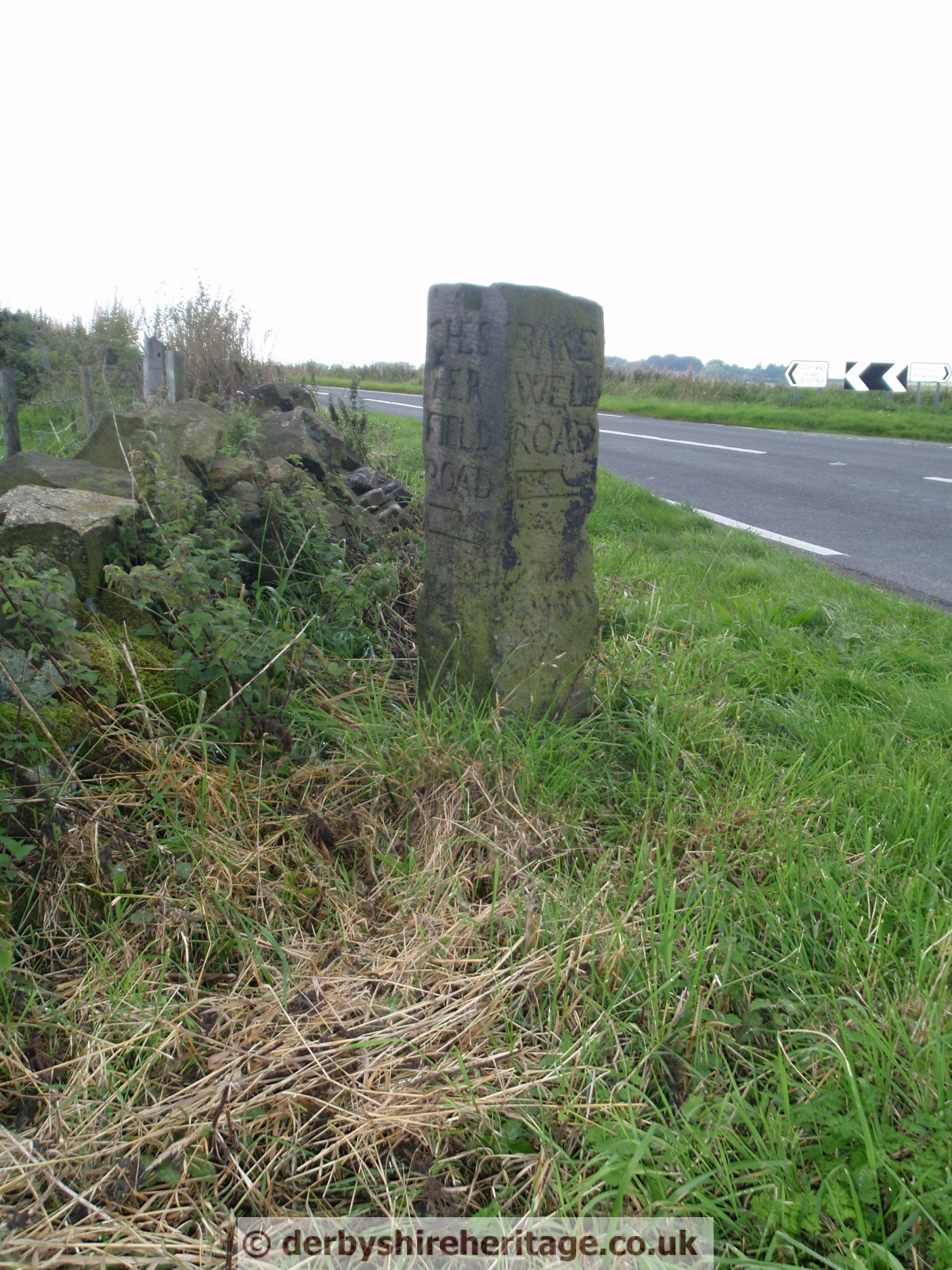
opposite T junction near Cornerstone farm at SK302720
 |
 |
 |
 |
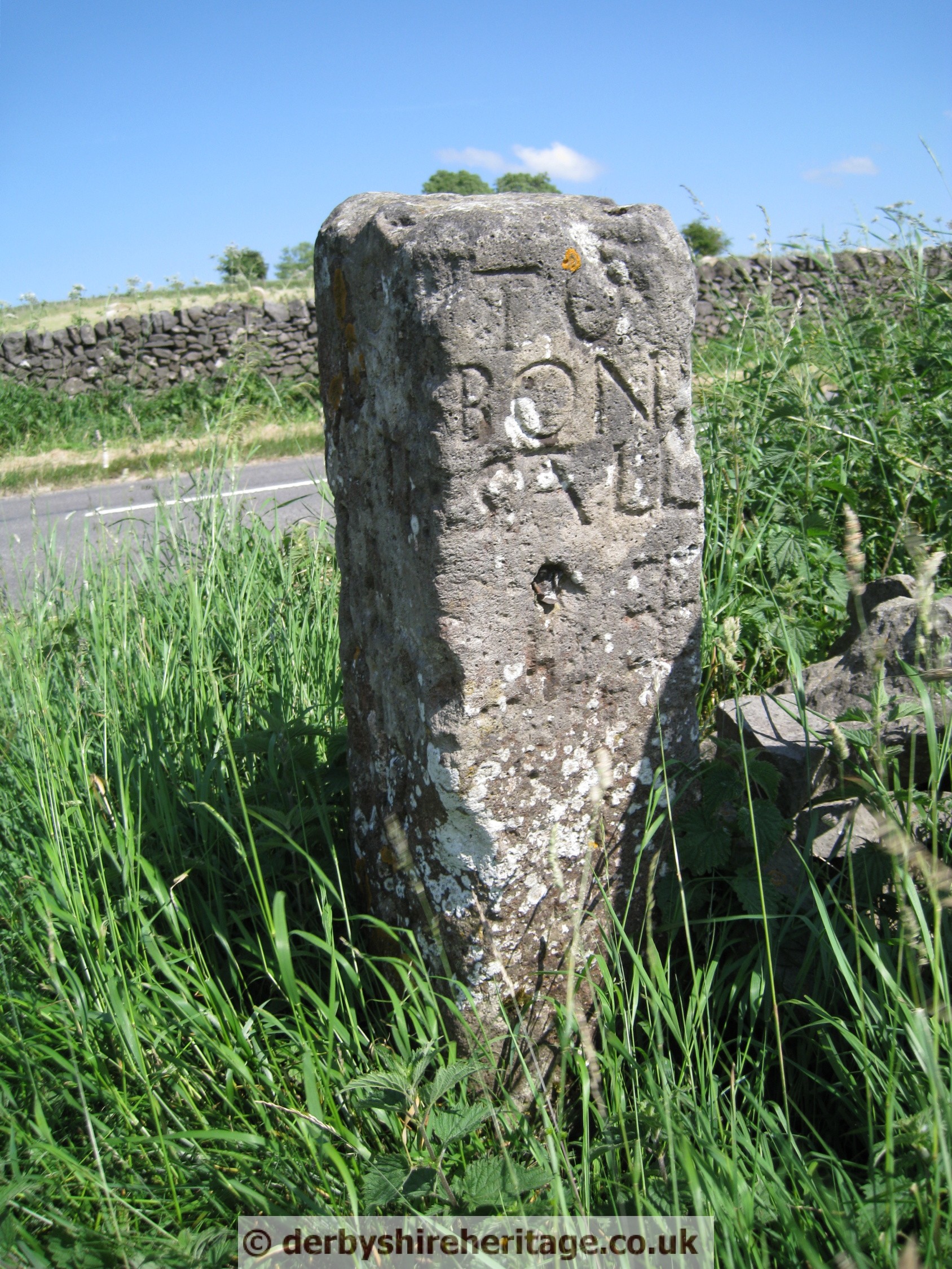
WINSTER – SK 238597
This stoop is located South of Winster on the B5056 Winster to Grangemill road. It is a gate post just a few yards South of Bonsall Lane on the West side of the road.
 |
 |
 |
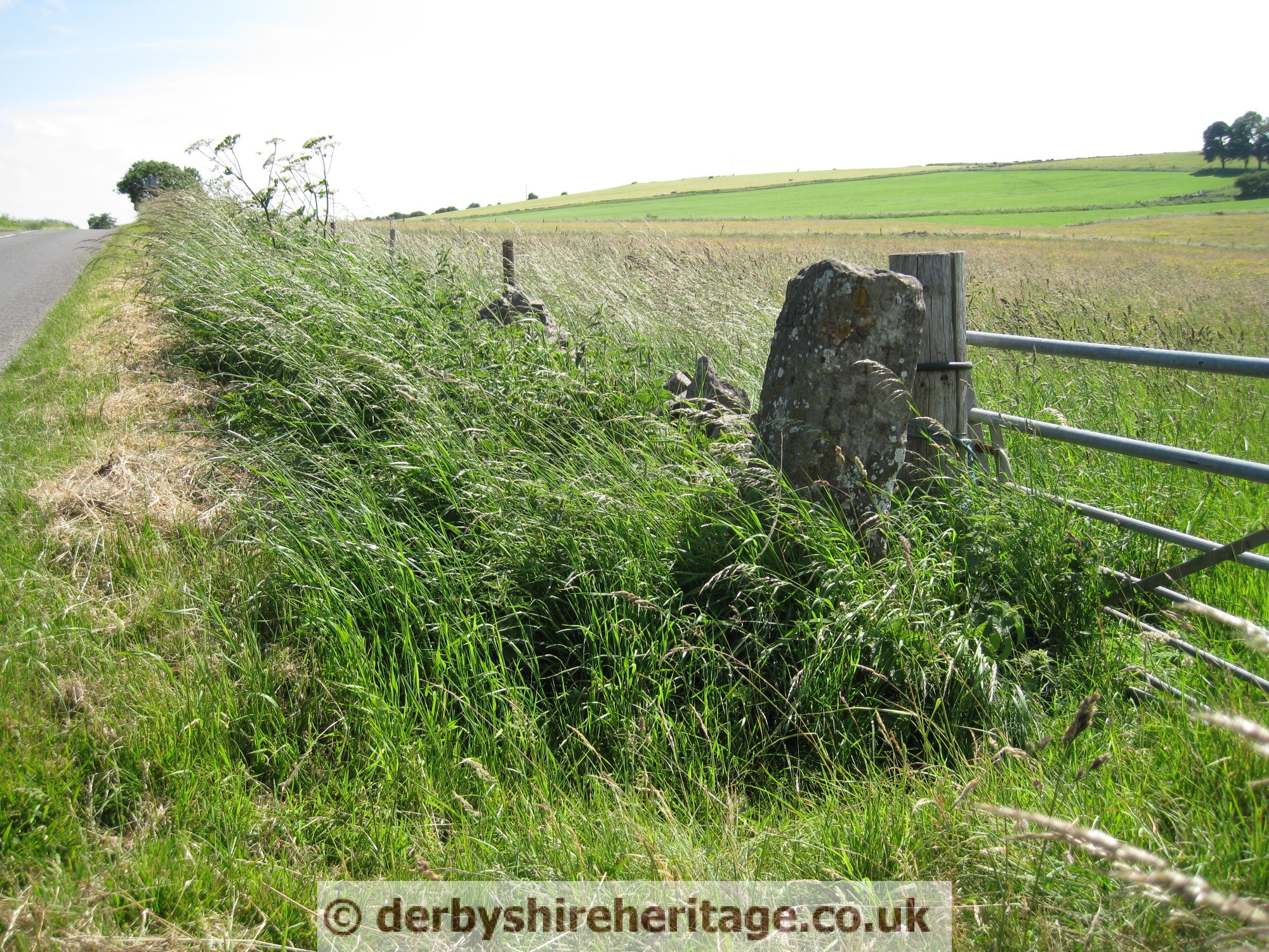 |
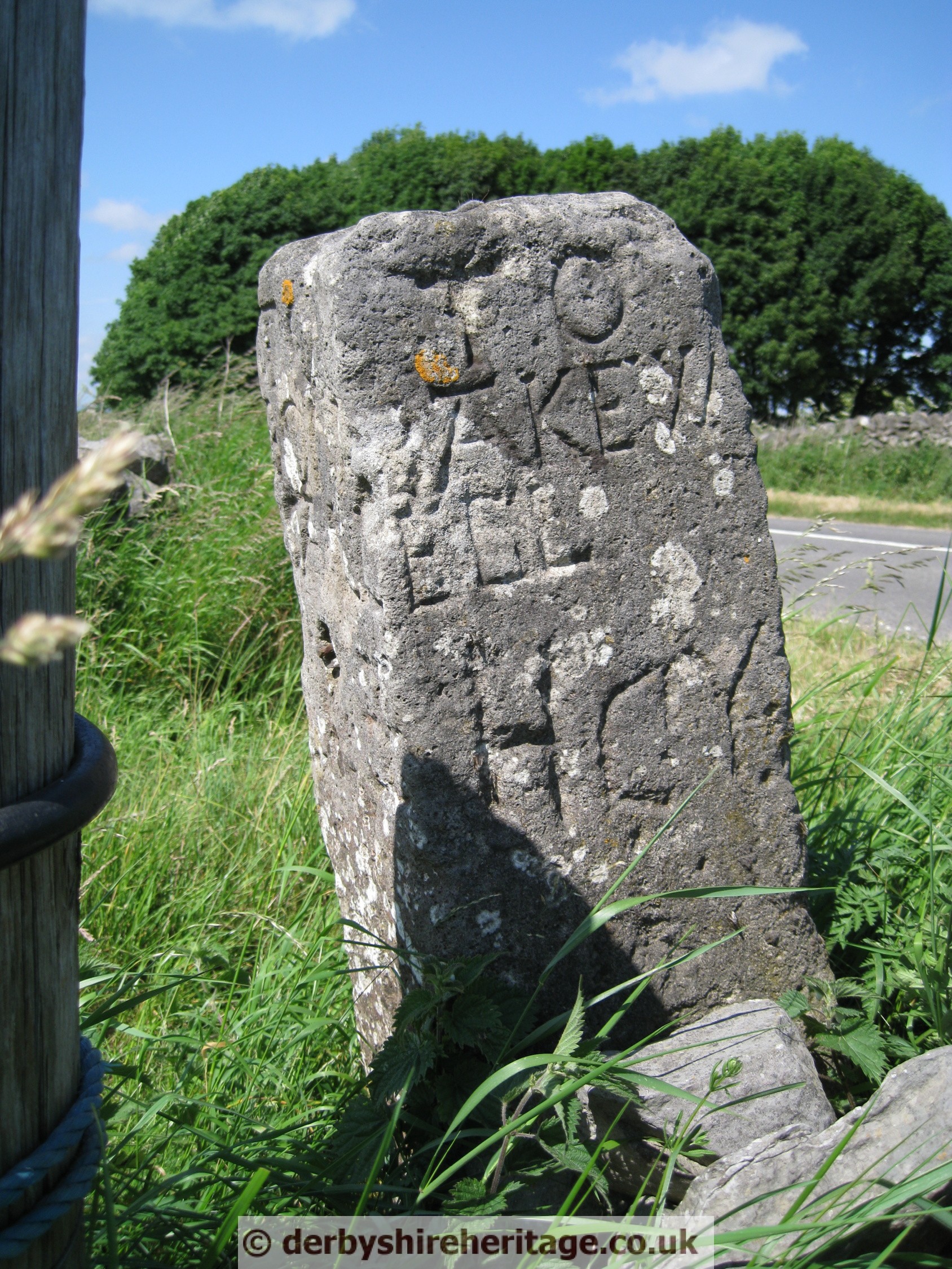
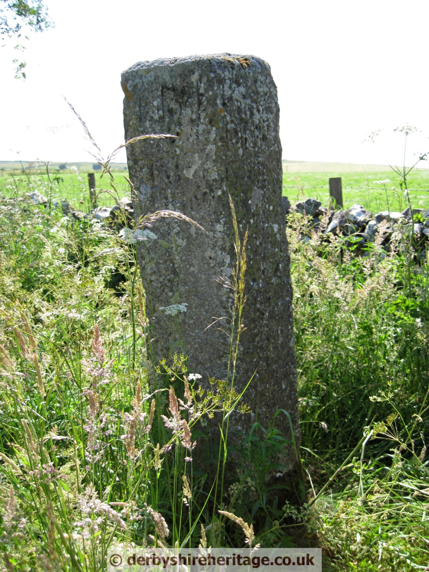
WINSTERMOOR FARM – SK 243593
This stoop if located on private lane at Winstermoor farm which is to the south of Winster. The farm lane runs east from the B5065 Winster to Grangemill road.
The inscriptions are badly eroded but it is recorded that one related to a suicide as follows – ‘Near to this place lieth Alsop of Slaley‘. John Alsop Slaley commited suicide and was buried at the crossroads outside the west boundary of Bonsall parish. There is another stoop connected with a suicide at Mathersgrave.
 |
 |
 |
 |