Ashover Clapper Bridge
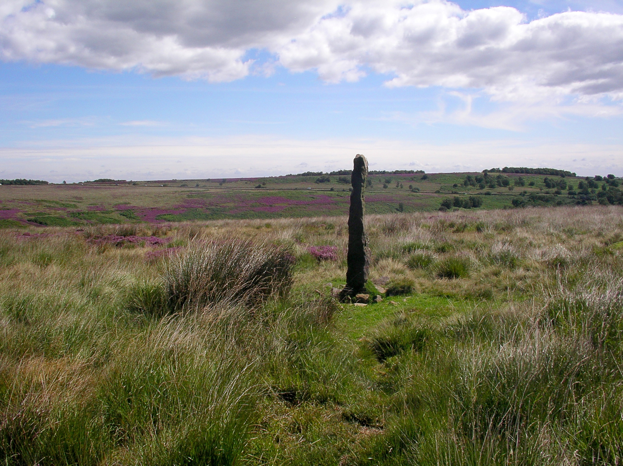
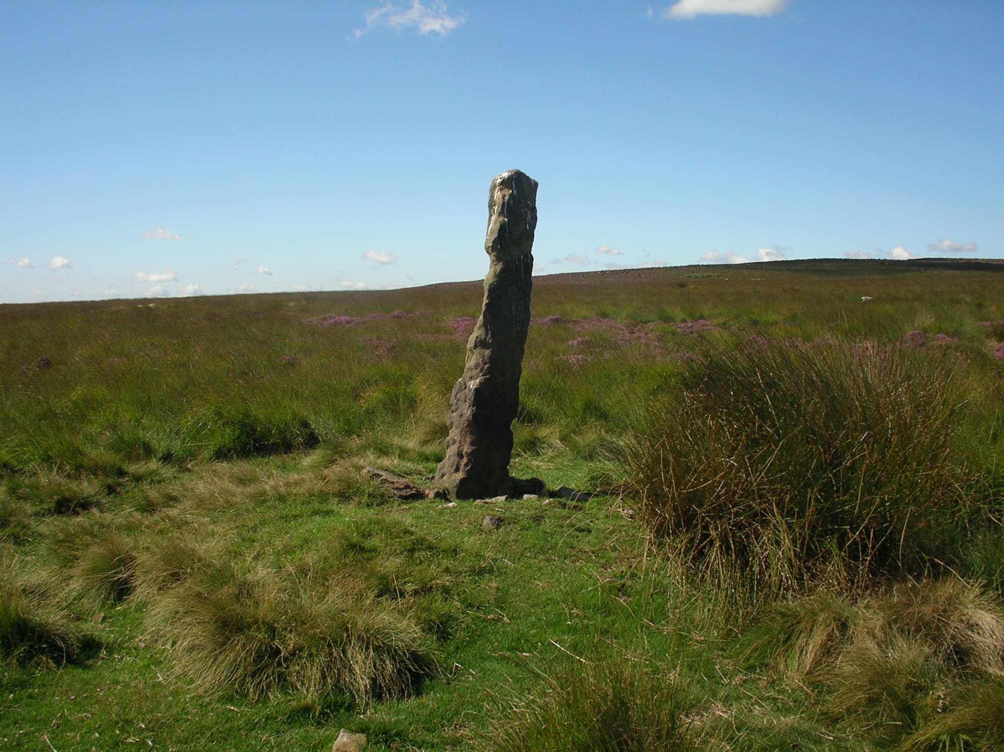
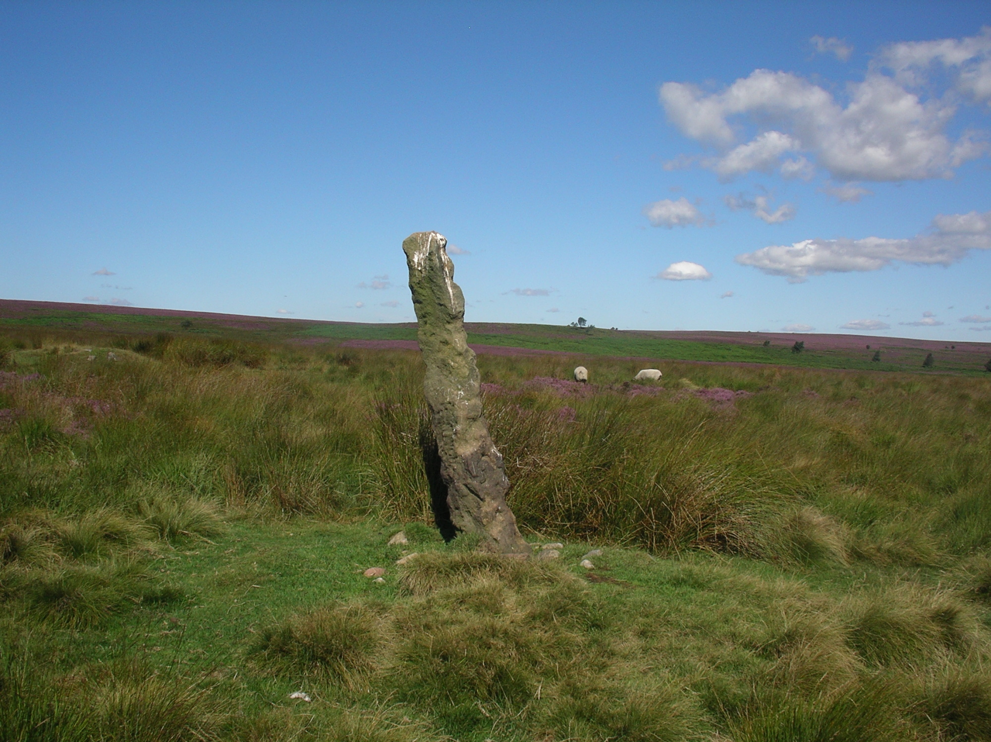
Big moor aiming posts
Big moor ploughing furrows
Bolsover Earthworks
Bradwell Grey Ditch
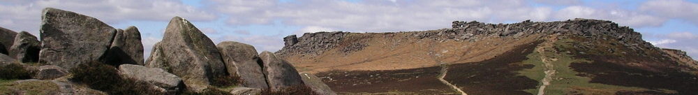
Carl Wark
Chatsworth Park ridge and furrow
Cuckoo stone
Earl Sterndale Fox Hole cave
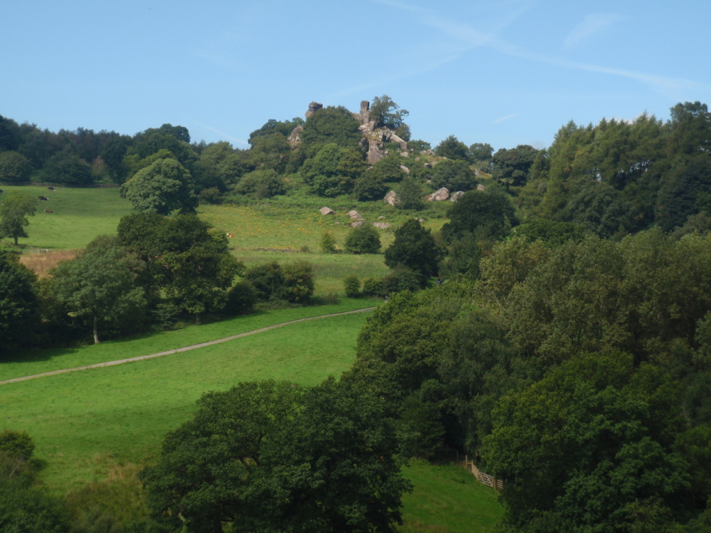
Elton Robin Hood’s Stride
Gardoms Edge enclosure
Gardom’s Edge standing stone
Hob’s House cave Monsal
Hurkling stone
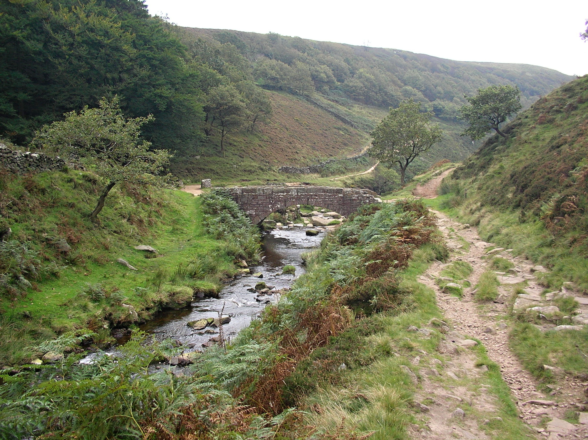
Mytham Bridge tollgates
Navio Roman fort
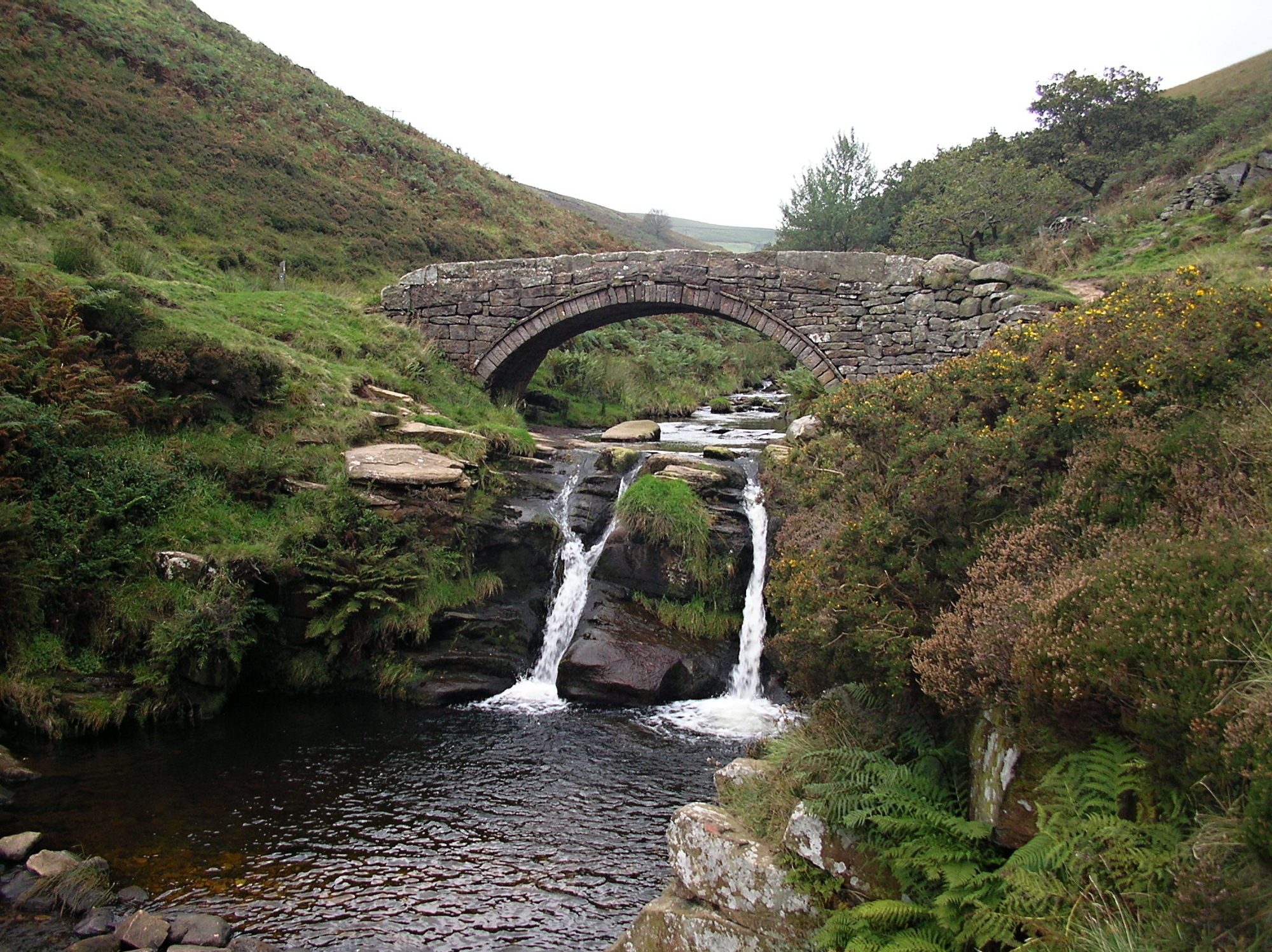
Panniers Pool Bridge and Three Shire Heads
Taddington moor high mere
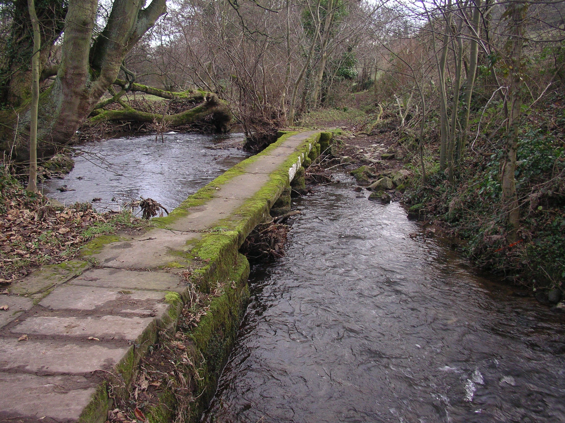
This ancient form of bridge near Ashover known as a clapper bridge is formed by large flat slabs of stone supported on stone piers.
Although often believed to be of prehistoric origin, most were erected in medieval times, and some in later centuries.They are often situated close to a ford where carts could cross. The word ‘clapper’ derives from an Anglo-Saxon word, cleaca, meaning ‘bridging the stepping stones‘.
Big Moor aiming posts
Big moor aiming posts. Not a guidestoop in the true sense, this was a waymarker which just guided the way by being a point to aim for. It has no market town directions inscribed on it. There are several more in this area.
Big Moor ploughing furrows
Big moor ploughing furrows on Big moor at SK271754 is evidence of agricultural use of the land with furrows clearly seen. The area is marked on the OS map as ‘field system’ north of the enclosure and Swine Stye.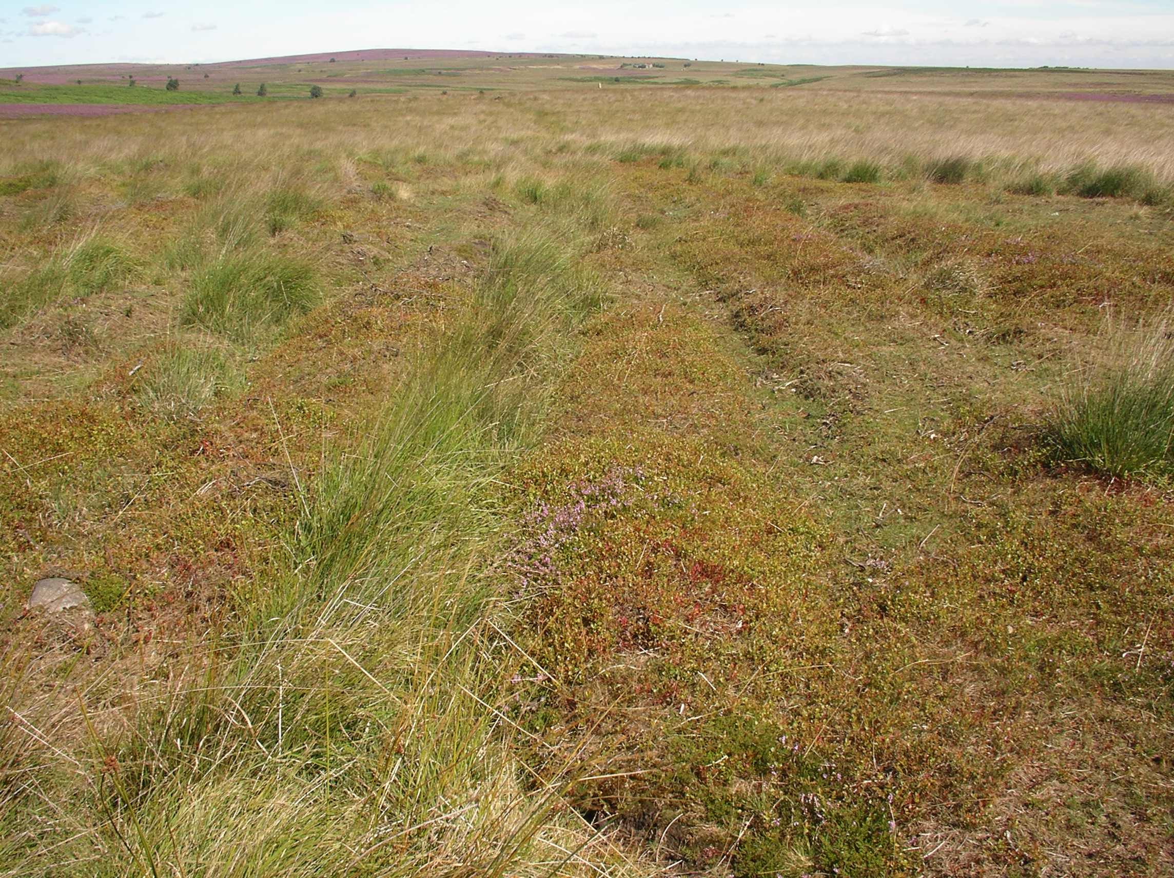
Elton – Robin Hood’s Stride or Mock Beggars Hall
A gritstone crag which at twilight some say looks like a large house, giving the outcrop its alternative name `Mock Beggars Hall`.
 Legend has it that Robin strode between the tower-like stones at either end of the tor, but this is unlikely because they are 15 metres apart and the ascent of the towers is difficult – especially the southern one.
Nearby Harthill Moor Farm, which can be seen from the Stride, is built on the site of Castle Ring, an Iron Age fort. This is one of the forts built along the ancient track known as the Portway, which passed just alongside Robin Hood’s Stride.
The area surrounding Robin Hood’s Stride contains traces of barrows, Bronze or Iron Age enclosures and hut circles, but the most visible monument is the stone circle known as the ‘Nine Stones’ (though in fact only four are standing) which lies about 200 metres to the north-west.
Just to the north-east lies Cratcliff Tor which has a hermit’s cave, hidden by an ancient group of yew trees. Cratcliffe Hermitage was probably inhabited around the 12th century and contains a crucifix carved out of the wall of the cave.
Gardom’s Edge standing stone
This tall standing stone on Gardom’s Edge is only a short distance from the cup and ring rock art and the enclosure.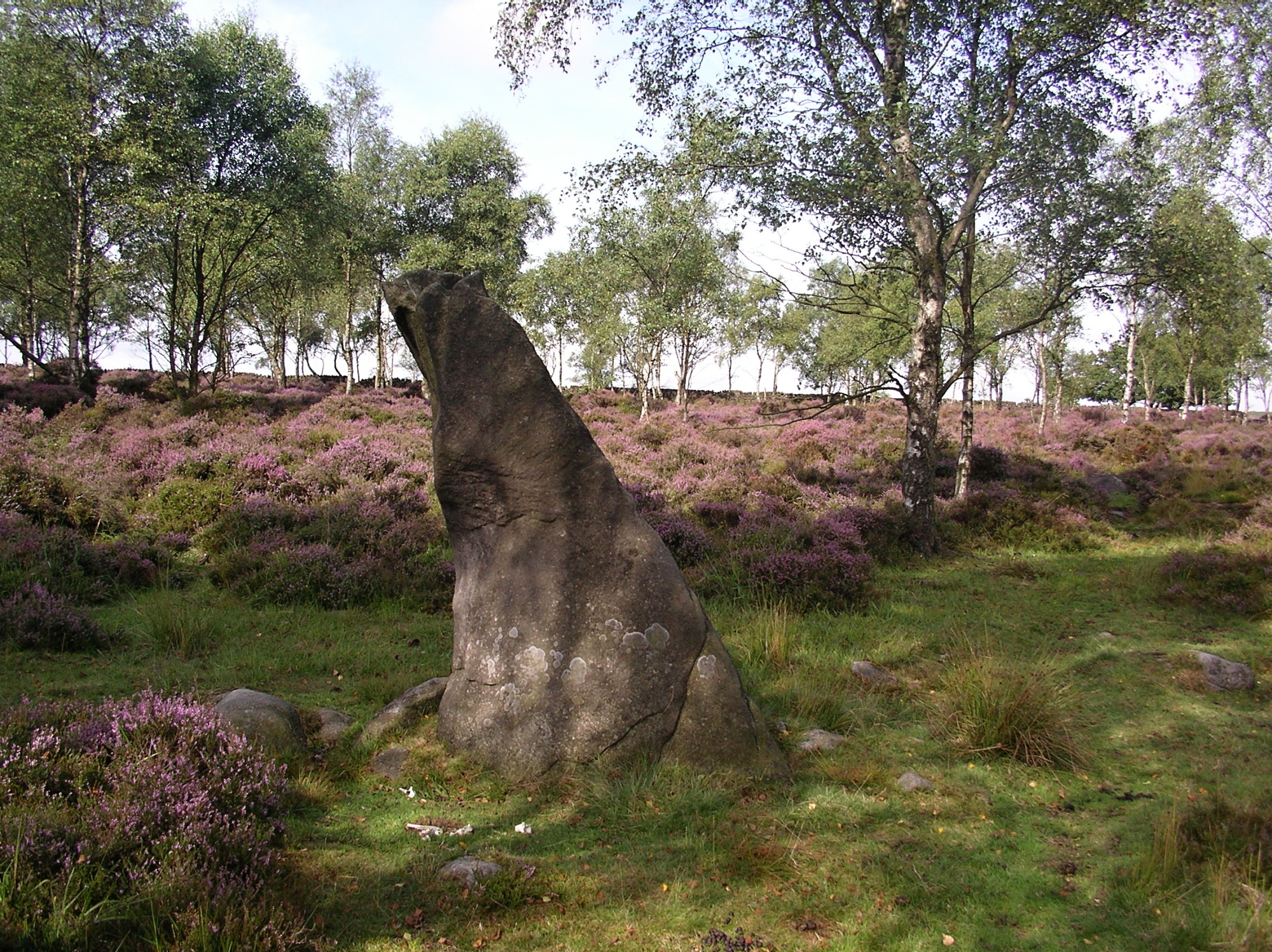
Mytham bridge tollgates were part of the Sparrowpit gate road turnpike and were originally positioned on the east side of Mytham Bridge (about ¼ mile away on the A625) where there was also a smithy.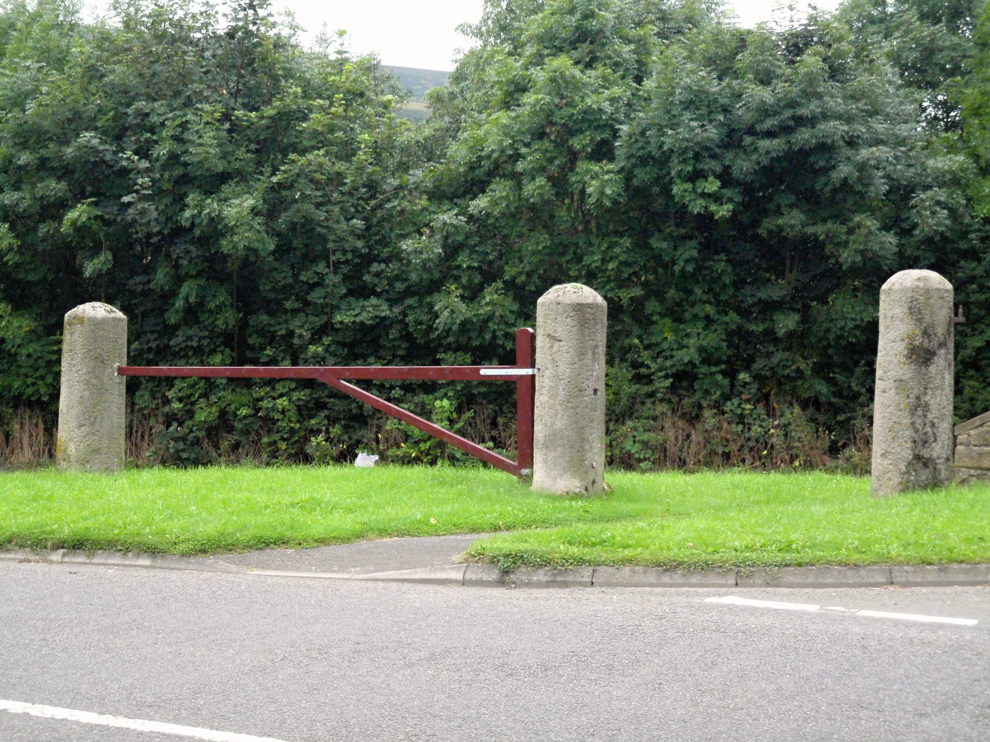
The Sparrowpit gate turnpike between Sheffield and Sparrowpit was established in 1758, completing the route between Sheffield and Manchester which had been started in 1724.
Navio Roman fort – The first Roman fort of Navio at Brough (near Hope) was built c.A.D. 73, thirty years after the Roman invasion and during the governorship of Agricola. It became part of a line of forts in the region, including one at Templeborough, east of Sheffield, and an earlier fort at Chesterfield dating back to Nero.
The fort was built by the First Cohort of Aquitanians, in AD 158, possibly after a Brigantian revolt, on the site of an earlier fort, abandoned some 30 years before, when all available troops were needed further north.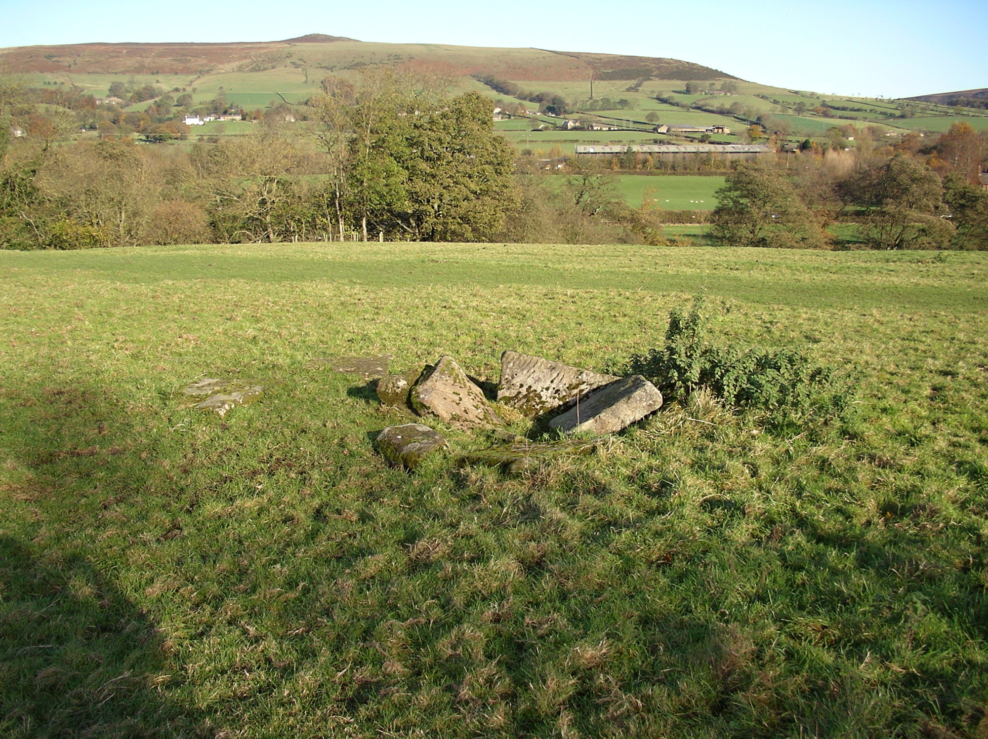
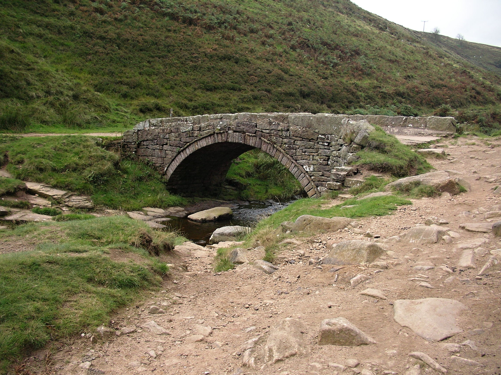
Panniers Pool Bridge and Three Shire Heads
This locality was a focus for four packhorse routes at the meeting point of three counties – Derbyshire, Cheshire and Staffordshire.
On Speed’s map of 1610 this is ‘Three Shire Stones’ and three tall stones are depicted, one in each county. Of these stones there is now no trace, but a packhorse bridge, probably there when Speed drew his map, still spans the infant River Dane just above Panniers Pool. At some time it has been widened by three feet on the upstream side. This name was first recorded in 1533; perhaps at that time there was no bridge and the horses with their panniers had to ford the small rock pool.