Chelmorton has been listed variously over the years as Chelmorton, Chilmorton, Chelmerten and Chelmarton.
Chelmorton village was built along the banks of a little stream that was known as Illy Willy Water, it provided a constant supply of pure water for the village. It came out above a layer of lava on the hill just above the church, ran down what became the village street and slipped away into a swallet hole. The village was built on the banks of Illy Willy Water and is in its original form was exactly the same length as the stream.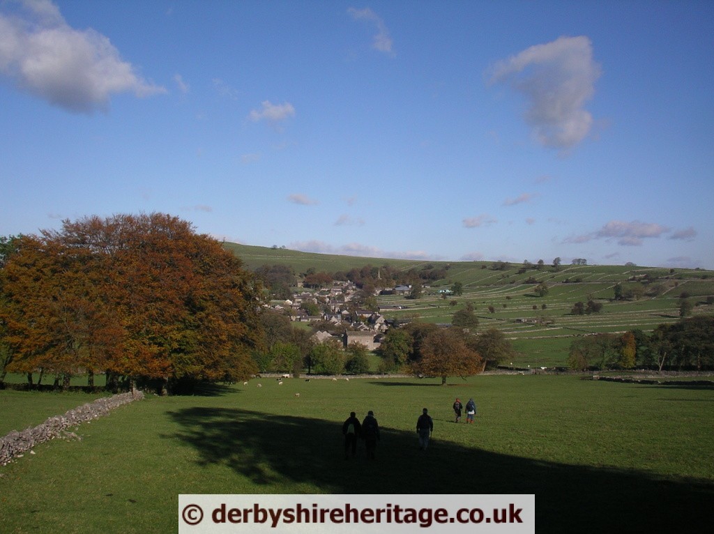
Chelmorton village still retains a pattern which was probably laid down in Saxon times – a linear village laid out along a single street, with farms at intervals along the street. Uniquely amongst local villages, there have been no significant additions to this layout in recent times. Another aspect of interest around Chelmorton is the field patterns. Those around the village are in 13 long narrow strips, a system dating from medieval times (and maybe as far back as Saxon times) but only enclosed relatively recently – probably in the 17th century. The larger fields more distant from the village were enclosed as late as 1805, and these are of a completely different shape – larger and usually almost square. This type of field pattern may also be seen near some other local villages, such as Litton.
Church Inn
Chelmorton’s only village pub is the Church Inn. It used to be called the Blacksmith’s Arms because part of it was a smithy.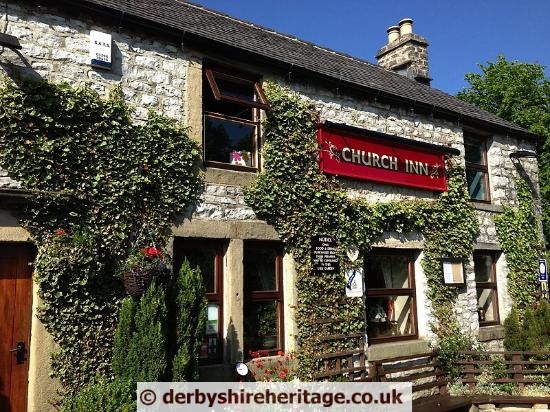 The best known landlord-blacksmith at the inn was Alexander Ollerenshaw, born in 1753. Alick Ownshaw, as he was known in Chelmorton, was convinced that it was his destiny to discover perpetual motion. He was certain he could do this by building a piece of machinery.
Once set in motion the machine would keep on moving without any further help. Nobody would ever have to touch it and there would be no source of power.
If anybody expressed any doubts, Alexander would reply, “Yo happen dunna know what Sir Isaac Newton said – Hey sed as th’ perpetual motion o’d be fun out – an’ the discovery o’d be made by a idiot.”
One man who met Alexander wrote: “ … his whole soul appeared absorbed in the thought, and by day and by night, confident in a final triumph, persistent and unwearied, he pursued his purpose to the last moment of his earthly existence.”
Alexander built his machine in a small private room at the pub. Several times a day he fastened himself in with his invention, seriously neglecting all other work. This went on for years. Everybody knew what he was trying to do for he talked about nothing else, and nothing else interested him at all.
The wonderful machine always seemed to need just a few more alterations to make it work. Hardly anybody was allowed to see it.
“Owd Alick” worked on the problem to the end of his days. After he died in 1841 his beloved contraption of cranks, springs, wires, wheels and pivots was broken up. Bits and pieces were given out around Chelmorton as mementos.
It is said that his daughter-in-law and his grand-daughter have left a permanent mark by haunting the pub. The local parish register records “An ingenious Blacksmith and Musician, and having more than 50 years vainly endeavoured to find out perpetual motion”.
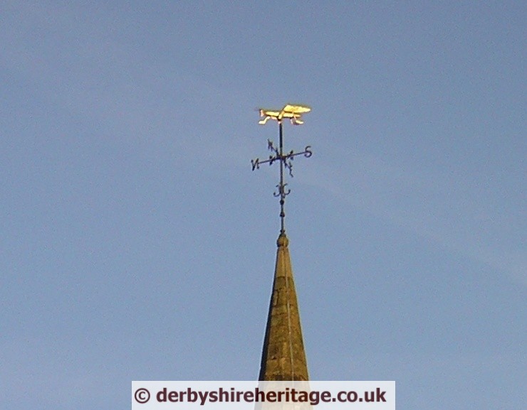
Chelmorton Church St. John the Baptist claims to be England’s highest parish at 1209 feet above sea level and the highest village in Derbyshire. The church is the highest church with a spire in England.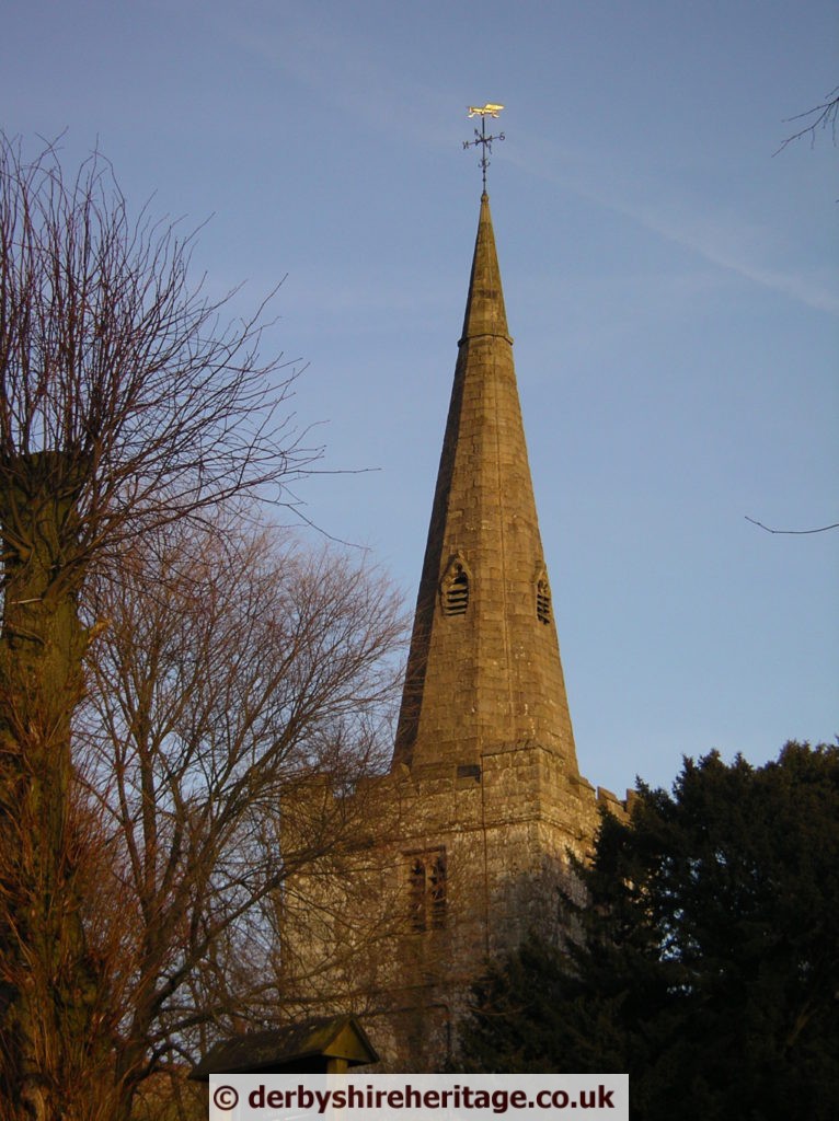 Unusually the spire weather vane is a golden locust. The 15th century spire has a weathervane in the shape of a locust (the symbol of John the Baptist) and the Elizabethan porch is made from coffin lids. The bells came from the church at Derwent, flooded to form the Ladybower reservoir in the 1950s.
from Historic England –
Grade II listed
GV II* Church. C13, C14, restored 1869 by H Currey. Coursed, squared gritstone to chancel and tower. Coursed limestone with gritstone dressings to rest. Plain tile and slate chancel roof. Slate north aisle roof. Stone slabs to south porch, other roofs leaded.
The Chelmorton Pound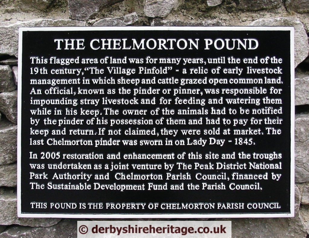 This flagged area of land was for many years, until the end of the 19 th century,”The Village Pinfold” – a relic Of early livestock management in which sheep and cattle grazed open common land An official, known as the pinder or pinner, was responsible for impounding stray livestock and for feeding and watering them while in his keep, The owner of the animals had to be notified by the pinder of his possession of them and had to pay for their keep and return. If not claimed, they were sold at market. The last Chelmorton pinder was sworn in on Lady Day – 1845.
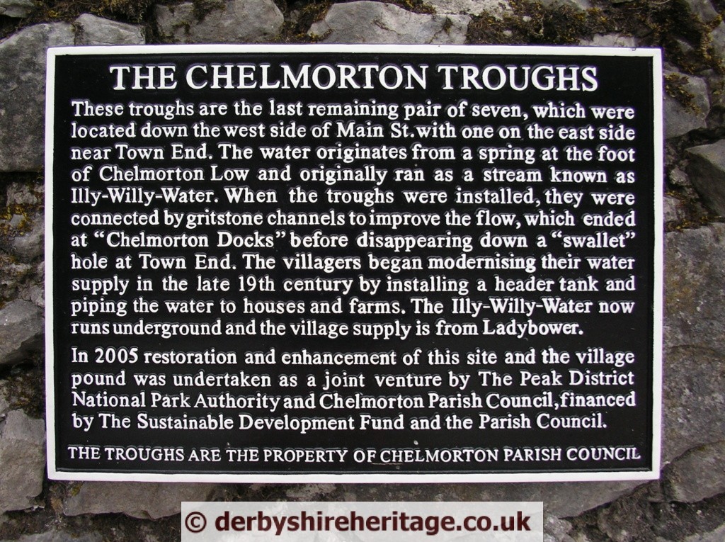
The Chelmorton Troughs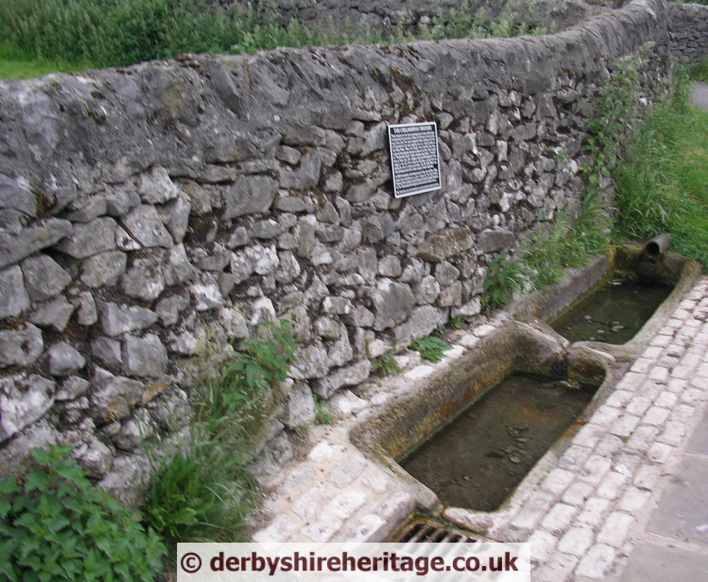 The troughs are the last remaining pair of seven, which were located down the west side of main street with one on the east side near Town End. The water originates from a spring at the foot of Chelmorton Low and originally ran as a stream known as Illy-Willy-Water. When the troughs were installed, they were connected by gritstone channels to improve flow, which ended at “Chelmorton Docks” before disappearing down a “swallet” hole at Town End. The villagers began modernising their water supply in the late 19th century by installing a header tank and piping the water to houses and farms. The Illy-Willy-Water now runs underground and the village supply is from Ladybower.
Telephone Kiosk
The telephone kiosk in Chelmorton is built of stone with a slate roof, designed to blend with the village’s buildings, it is the only one of its type in the country.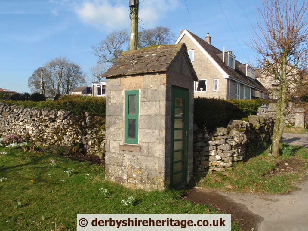
The Ditch
The old road between Buxton and Bakewell and is called ‘The Ditch’, a name which may be a relic of an ancient village boundary.
Chelmorton Thorn
This was an old way marker.
Those travelling from Buxton eastwards to Bakewell prior to 1810 had to follow the Ashbourne turnpike as far as Brierlow Bar. There they would turn into a parish road to Chelmorton where, for part of his salary, the schoolmaster depended on the interest on £101 secured on the Buxton turnpike and £200 secured on the Cheadle turnpike from Brierlow Bar – the former yielding 5% but paid infrequently, the latter yielding only 3½% but paid out as and when due. From Chelmorton further parish roads led through Sheldon to Ashford.
Chelmorton Low
The two barrows are well preserved with signs of excavation present in the centre of each. They are around 10m wide, 1.5 metres high and 37m apart.
There may have been a third barrow – there are significant piles of stones where a third barrow should be if aligned with the other two.

