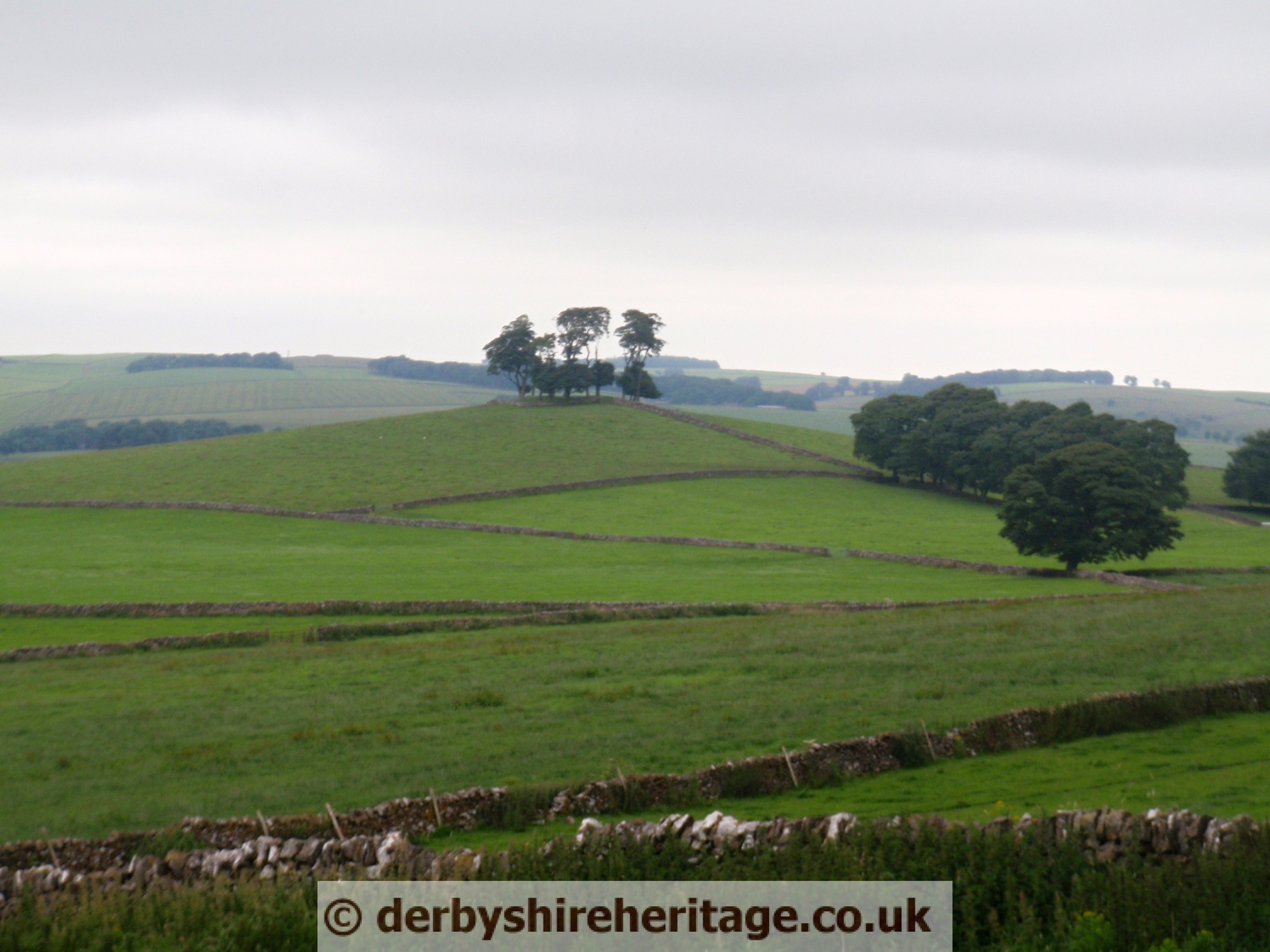
Moat Low Round Barrow a Bronze Age Bowl Barrow 1m x 29m x 25m enclosed by a stone wall, with a thin covering of trees. Partial excavations by Bateman in 1845 revealed a rock cut grave with two skeletons, bronze axe and a pig jaw. Scheduled Monument 13317.
At 340m Moat Low is one of the highest points in the area. Minnninglow is visible 6.5 km away east, as is Chelmorton Low (17km away north) and the very distinctive Chrome Hill at the top of the Manifold Valley. In the near distance Wolfscote Hill, Gratton Hill, Narrowdale, Wetton and The Liffs, all of which have barrows, are visible.Located at SK153540 near Tissington.